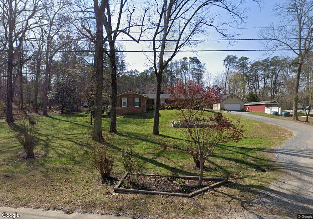
25 Hillside Dr Rockmart, GA 30153
Estimated Value: $274,000 - $299,000
4
Beds
2
Baths
1,512
Sq Ft
$190/Sq Ft
Est. Value
About This Home
This home is located at 25 Hillside Dr, Rockmart, GA 30153 and is currently estimated at $286,850, approximately $189 per square foot. 25 Hillside Dr is a home located in Polk County with nearby schools including Rockmart Middle School.
Ownership History
Date
Name
Owned For
Owner Type
Purchase Details
Closed on
Sep 23, 1997
Sold by
Perdue Helen Odom
Bought by
Hardin Elbert D and Hardin Robin L
Current Estimated Value
Purchase Details
Closed on
Aug 14, 1997
Sold by
Perdue Robert Arthur and Carole Perdue
Bought by
Perdue Helen Odom
Purchase Details
Closed on
Jan 22, 1990
Sold by
Perdue Helen Odom
Bought by
Perdue Robert and Perdue
Purchase Details
Closed on
Aug 16, 1988
Sold by
Cornell Bernard W
Bought by
Perdue Robert
Purchase Details
Closed on
Jul 15, 1969
Bought by
Cornell Bernard W
Create a Home Valuation Report for This Property
The Home Valuation Report is an in-depth analysis detailing your home's value as well as a comparison with similar homes in the area
Home Values in the Area
Average Home Value in this Area
Purchase History
| Date | Buyer | Sale Price | Title Company |
|---|---|---|---|
| Hardin Elbert D | $81,900 | -- | |
| Perdue Helen Odom | -- | -- | |
| Perdue Robert | -- | -- | |
| Perdue Robert | $79,000 | -- | |
| Cornell Bernard W | -- | -- |
Source: Public Records
Tax History Compared to Growth
Tax History
| Year | Tax Paid | Tax Assessment Tax Assessment Total Assessment is a certain percentage of the fair market value that is determined by local assessors to be the total taxable value of land and additions on the property. | Land | Improvement |
|---|---|---|---|---|
| 2024 | $2,266 | $110,424 | $8,000 | $102,424 |
| 2023 | $1,779 | $76,952 | $8,000 | $68,952 |
| 2022 | $1,580 | $68,568 | $8,000 | $60,568 |
| 2021 | $1,600 | $68,568 | $8,000 | $60,568 |
| 2020 | $1,604 | $68,568 | $8,000 | $60,568 |
| 2019 | $1,198 | $46,597 | $6,000 | $40,597 |
| 2018 | $1,203 | $45,673 | $6,000 | $39,673 |
| 2017 | $1,188 | $45,673 | $6,000 | $39,673 |
| 2016 | $1,188 | $45,673 | $6,000 | $39,673 |
| 2015 | $1,190 | $45,594 | $6,000 | $39,594 |
| 2014 | $1,156 | $44,052 | $4,458 | $39,594 |
Source: Public Records
Map
Nearby Homes
- 18 Hillside Dr
- 184 Morgan Ln
- 155 Government Farm Rd
- 332 Stringer Rd
- 865 Morgan Valley Rd
- 107 Main Line Rd
- 11 Lee St
- 1714 Cedartown Hwy
- 1039 Old Cedartown Rd
- 92 Autumn Path
- 93 Clay Rd
- 0 Pine Mountain St Unit 10620510
- 0 Pine Mountain St Unit 10620492
- 318 Morgan Valley Rd
- 831 Government Farm Rd
- 780 Government Farm Rd
- 1 Pine Mountain Rd
- 740 Calloway Dr
- 1825 Calloway Path
- 847 Polk St
- 27 Hillside Dr
- 26 Hillside Dr
- 0 Hillside Dr
- 0 Hillside Dr Unit 10241883
- 0 Hillside Dr Unit 7325062
- 0 Hillside Dr Unit 8125839
- 0 Hillside Dr Unit 8276047
- 0 Hillside Dr Unit 6852876
- 0 Hillside Dr Unit 8942065
- 0 Hillside Dr Unit 5923805
- 24 Hillside Dr
- 23 Hillside Dr
- 150 Burton Dr
- 485 Baldwin Rd
- 118 Burton Dr
- 113 Burton Dr
- 22 Hillside Dr
- 430 Horseshoe Cir
- 116 Burton Dr
- 111 Burton Dr