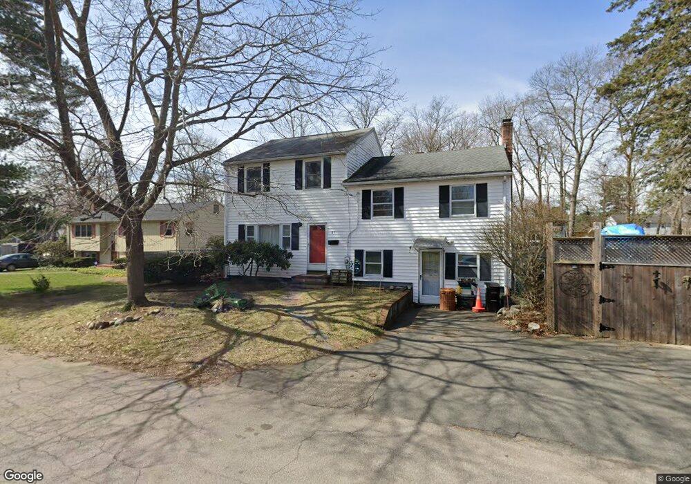
25 Hoover Ave Brockton, MA 02301
Clifton Heights NeighborhoodEstimated Value: $574,000 - $592,000
4
Beds
3
Baths
2,064
Sq Ft
$283/Sq Ft
Est. Value
About This Home
This home is located at 25 Hoover Ave, Brockton, MA 02301 and is currently estimated at $583,579, approximately $282 per square foot. 25 Hoover Ave is a home located in Plymouth County with nearby schools including John F. Kennedy Elementary School, Davis K-8 School, and South Middle School.
Ownership History
Date
Name
Owned For
Owner Type
Purchase Details
Closed on
Jun 10, 2015
Sold by
Delgado Todd
Bought by
Delgado Todd and Delgado Maria D
Current Estimated Value
Purchase Details
Closed on
Apr 26, 1993
Sold by
Meade Richard W and Meade Karen L
Bought by
Delgado Todd A
Home Financials for this Owner
Home Financials are based on the most recent Mortgage that was taken out on this home.
Original Mortgage
$106,000
Interest Rate
7.45%
Mortgage Type
Purchase Money Mortgage
Create a Home Valuation Report for This Property
The Home Valuation Report is an in-depth analysis detailing your home's value as well as a comparison with similar homes in the area
Home Values in the Area
Average Home Value in this Area
Purchase History
| Date | Buyer | Sale Price | Title Company |
|---|---|---|---|
| Delgado Todd | -- | -- | |
| Delgado Todd A | $118,000 | -- |
Source: Public Records
Mortgage History
| Date | Status | Borrower | Loan Amount |
|---|---|---|---|
| Previous Owner | Delgado Todd A | $180,000 | |
| Previous Owner | Delgado Todd A | $126,000 | |
| Previous Owner | Delgado Todd A | $106,000 | |
| Previous Owner | Delgado Todd A | $123,750 |
Source: Public Records
Tax History Compared to Growth
Tax History
| Year | Tax Paid | Tax Assessment Tax Assessment Total Assessment is a certain percentage of the fair market value that is determined by local assessors to be the total taxable value of land and additions on the property. | Land | Improvement |
|---|---|---|---|---|
| 2025 | $5,637 | $465,500 | $140,600 | $324,900 |
| 2024 | $5,301 | $441,000 | $140,600 | $300,400 |
| 2023 | $5,471 | $421,500 | $106,700 | $314,800 |
| 2022 | $5,483 | $392,500 | $97,100 | $295,400 |
| 2021 | $4,756 | $328,000 | $81,200 | $246,800 |
| 2020 | $4,925 | $325,100 | $75,500 | $249,600 |
| 2019 | $4,934 | $317,500 | $73,500 | $244,000 |
| 2018 | $4,535 | $282,400 | $73,500 | $208,900 |
| 2017 | $4,353 | $270,400 | $73,500 | $196,900 |
| 2016 | $4,352 | $250,700 | $71,400 | $179,300 |
| 2015 | -- | $232,300 | $71,400 | $160,900 |
| 2014 | $3,998 | $220,500 | $71,400 | $149,100 |
Source: Public Records
Map
Nearby Homes
- 57 Copeland St
- 115 Leach Ave
- 47 Southworth St
- 115 Market St
- 137 Channing Ave
- 176 Ettrick St
- 65 Tremont St
- 977 Warren Ave
- 58 Calmar St
- 37 Menlo Ave
- 56 Cottage Grove Ave
- 153 Bouve Ave
- 35 Longworth Ave Unit 17
- 358 Copeland St
- 936 Warren Ave
- 115 Ettrick St
- 1036 Ash St
- 15 Longworth Ave Unit 231
- 223 Clinton St Unit 10
- 223 Clinton St Unit 3
- 33 Hoover Ave
- 21 Hoover Ave
- 15 Judith Rd
- 26 Hoover Ave
- 13 Hoover Ave
- 18 Patricia Ln
- 32 Hoover Ave
- 18 Hoover Ave
- 26 Patricia Ln
- 35 Hoover Ave
- 230 Keith Avenue Extension
- 14 Patricia Ln
- 10 Judith Rd
- 34 Hoover Ave
- 60 Davis Ave
- 224 Keith Avenue Extension
- 12 Hoover Ave
- 5 Hoover Ave
- 32 Woodbine St
- 38 Woodbine St