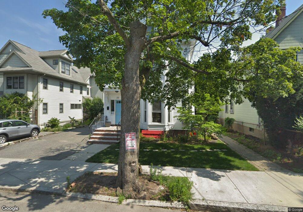
25 Hubbard Ave Cambridge, MA 02140
Neighborhood Nine NeighborhoodEstimated Value: $2,189,000 - $2,610,000
6
Beds
3
Baths
2,903
Sq Ft
$825/Sq Ft
Est. Value
About This Home
This home is located at 25 Hubbard Ave, Cambridge, MA 02140 and is currently estimated at $2,396,244, approximately $825 per square foot. 25 Hubbard Ave is a home located in Middlesex County with nearby schools including Benjamin Banneker Charter Public School, Cambridge Montessori School, and Cambridge Friends School.
Ownership History
Date
Name
Owned For
Owner Type
Purchase Details
Closed on
Nov 9, 2007
Sold by
Hubbard Rt and Harding Pamela Joyce
Bought by
Margetson Rupert J and Postal Megan M
Current Estimated Value
Create a Home Valuation Report for This Property
The Home Valuation Report is an in-depth analysis detailing your home's value as well as a comparison with similar homes in the area
Home Values in the Area
Average Home Value in this Area
Purchase History
| Date | Buyer | Sale Price | Title Company |
|---|---|---|---|
| Margetson Rupert J | $560,000 | -- |
Source: Public Records
Tax History
| Year | Tax Paid | Tax Assessment Tax Assessment Total Assessment is a certain percentage of the fair market value that is determined by local assessors to be the total taxable value of land and additions on the property. | Land | Improvement |
|---|---|---|---|---|
| 2025 | $13,665 | $2,151,900 | $833,000 | $1,318,900 |
| 2024 | $12,657 | $2,138,000 | $868,300 | $1,269,700 |
| 2023 | $11,816 | $2,016,300 | $888,000 | $1,128,300 |
| 2022 | $10,883 | $1,838,300 | $842,100 | $996,200 |
| 2021 | $10,301 | $1,760,800 | $824,200 | $936,600 |
| 2020 | $9,908 | $1,723,100 | $816,000 | $907,100 |
| 2019 | $9,222 | $1,552,600 | $708,000 | $844,600 |
| 2018 | $9,108 | $1,448,000 | $655,800 | $792,200 |
| 2017 | $8,930 | $1,376,000 | $626,000 | $750,000 |
| 2016 | $8,647 | $1,237,100 | $540,300 | $696,800 |
| 2015 | $8,147 | $1,041,800 | $424,800 | $617,000 |
| 2014 | $7,583 | $904,900 | $354,000 | $550,900 |
Source: Public Records
Map
Nearby Homes
- 178 Richdale Ave
- 11 Cogswell Ave Unit 15
- 11 Cogswell Ave Unit 13
- 24 Cambridge Terrace Unit 2
- 86 Avon Hill St
- 3 Warwick Park Unit 2
- 80 Upland Rd Unit B
- 2130 Massachusetts Ave Unit 6D
- 7 Russell St Unit 1
- 46 Mount Vernon St Unit 1
- 54 Bellis Cir
- 151 Sherman St
- 151 Sherman St Unit 151
- 7 Beech St Unit 319
- 18 Upland Rd Unit 1
- 10 Beech St Unit 4
- 10 Beech St Unit 2
- 10 Beech St Unit 1
- 10 Beech St Unit 3
- 6 Washington Ave Unit 11
- 29 Hubbard Ave
- 23 Hubbard Ave
- 31 Hubbard Ave
- 19 Hubbard Ave
- 148 Richdale Ave Unit 3
- 148 Richdale Ave Unit 2
- 148 Richdale Ave Unit 1
- 148 Richdale Ave Unit South
- 37 Hubbard Ave
- 37 Hubbard Ave Unit A
- 37 Hubbard Ave Unit Front
- 37 Hubbard Ave Unit 37A
- 21 Hubbard Ave
- 21 Hubbard Ave Unit 21
- 142 Richdale Ave
- 142 Richdale Ave Unit 2
- 152 Richdale Ave Unit 152
- 32 Hubbard Ave
- 34 Hubbard Ave Unit 1
- 34 Hubbard Ave Unit c
Your Personal Tour Guide
Ask me questions while you tour the home.