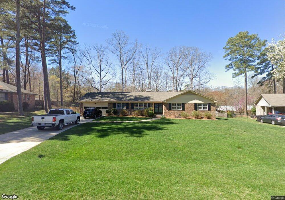
25 Kitchner Ct Durham, NC 27705
Croasdaile NeighborhoodEstimated Value: $499,068 - $529,000
4
Beds
3
Baths
2,250
Sq Ft
$227/Sq Ft
Est. Value
About This Home
This home is located at 25 Kitchner Ct, Durham, NC 27705 and is currently estimated at $511,767, approximately $227 per square foot. 25 Kitchner Ct is a home located in Durham County with nearby schools including Hillandale Elementary School, George L Carrington Middle, and Riverside High School.
Ownership History
Date
Name
Owned For
Owner Type
Purchase Details
Closed on
Jun 22, 1999
Sold by
Lawrence Priscilla L
Bought by
Combs Thomas and Combs Angela
Current Estimated Value
Home Financials for this Owner
Home Financials are based on the most recent Mortgage that was taken out on this home.
Original Mortgage
$154,700
Outstanding Balance
$41,069
Interest Rate
7.13%
Estimated Equity
$470,698
Create a Home Valuation Report for This Property
The Home Valuation Report is an in-depth analysis detailing your home's value as well as a comparison with similar homes in the area
Home Values in the Area
Average Home Value in this Area
Purchase History
| Date | Buyer | Sale Price | Title Company |
|---|---|---|---|
| Combs Thomas | -- | -- |
Source: Public Records
Mortgage History
| Date | Status | Borrower | Loan Amount |
|---|---|---|---|
| Open | Combs Thomas | $154,700 |
Source: Public Records
Tax History
| Year | Tax Paid | Tax Assessment Tax Assessment Total Assessment is a certain percentage of the fair market value that is determined by local assessors to be the total taxable value of land and additions on the property. | Land | Improvement |
|---|---|---|---|---|
| 2025 | $4,629 | $466,984 | $155,250 | $311,734 |
| 2024 | $3,697 | $265,053 | $61,965 | $203,088 |
| 2023 | $3,472 | $265,053 | $61,965 | $203,088 |
| 2022 | $3,392 | $265,053 | $61,965 | $203,088 |
| 2021 | $3,377 | $265,053 | $61,965 | $203,088 |
| 2020 | $3,297 | $265,053 | $61,965 | $203,088 |
| 2019 | $3,297 | $265,053 | $61,965 | $203,088 |
| 2018 | $3,225 | $237,725 | $41,310 | $196,415 |
| 2017 | $3,201 | $237,725 | $41,310 | $196,415 |
| 2016 | $3,093 | $237,725 | $41,310 | $196,415 |
| 2015 | $3,125 | $225,721 | $39,188 | $186,533 |
| 2014 | $3,125 | $225,721 | $39,188 | $186,533 |
Source: Public Records
Map
Nearby Homes
- 4408 Cheshire Ct
- 6 Webster Ct
- 2708 Ferrand Dr
- 96 Sparger Springs Ln
- 4404 Regis Ave
- 2104 Skipping Stone Dr
- 605 Blackwood Ct
- 2200 Anthony Dr
- 2606 Newquay St
- 524 Soapstone Dr
- 208 Jefferson Dr
- 4521 Myers Park Dr
- 1214 E Oak Dr
- 1217 Opal Ln
- 1221 Opal Ln
- 1229 Opal Ln
- 2801 Sparger Rd
- 1009 Crescent Moon Ct
- 1513 Cole Mill Rd
- 3710 Dairy Pond Place
Your Personal Tour Guide
Ask me questions while you tour the home.