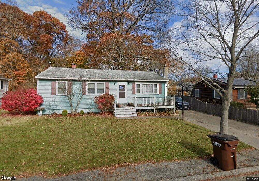
25 Lafayette St Amesbury, MA 01913
Estimated Value: $521,000 - $556,000
3
Beds
1
Bath
960
Sq Ft
$555/Sq Ft
Est. Value
About This Home
This home is located at 25 Lafayette St, Amesbury, MA 01913 and is currently estimated at $532,370, approximately $554 per square foot. 25 Lafayette St is a home located in Essex County with nearby schools including Amesbury High School and Amesbury Seventh-Day Adventist School.
Ownership History
Date
Name
Owned For
Owner Type
Purchase Details
Closed on
Aug 30, 1991
Sold by
First Eastern Mtg
Bought by
Mcdermit Steven A and Patricia Mcdermit
Current Estimated Value
Home Financials for this Owner
Home Financials are based on the most recent Mortgage that was taken out on this home.
Original Mortgage
$115,000
Interest Rate
9.44%
Mortgage Type
Purchase Money Mortgage
Purchase Details
Closed on
Aug 7, 1989
Sold by
Knox Edward
Bought by
Hubbard Michael
Create a Home Valuation Report for This Property
The Home Valuation Report is an in-depth analysis detailing your home's value as well as a comparison with similar homes in the area
Home Values in the Area
Average Home Value in this Area
Purchase History
| Date | Buyer | Sale Price | Title Company |
|---|---|---|---|
| Mcdermit Steven A | $115,000 | -- | |
| Hubbard Michael | $135,000 | -- |
Source: Public Records
Mortgage History
| Date | Status | Borrower | Loan Amount |
|---|---|---|---|
| Open | Hubbard Michael | $23,000 | |
| Open | Hubbard Michael | $122,000 | |
| Closed | Hubbard Michael | $113,000 | |
| Closed | Hubbard Michael | $115,000 |
Source: Public Records
Tax History Compared to Growth
Tax History
| Year | Tax Paid | Tax Assessment Tax Assessment Total Assessment is a certain percentage of the fair market value that is determined by local assessors to be the total taxable value of land and additions on the property. | Land | Improvement |
|---|---|---|---|---|
| 2025 | $6,643 | $434,200 | $220,300 | $213,900 |
| 2024 | $6,276 | $401,300 | $207,800 | $193,500 |
| 2023 | $6,255 | $382,800 | $180,600 | $202,200 |
| 2022 | $6,046 | $341,800 | $157,100 | $184,700 |
| 2021 | $5,473 | $299,900 | $124,900 | $175,000 |
| 2020 | $4,888 | $284,500 | $120,100 | $164,400 |
| 2019 | $4,855 | $264,300 | $120,100 | $144,200 |
| 2018 | $5,095 | $268,300 | $114,400 | $153,900 |
| 2017 | $4,792 | $240,200 | $114,400 | $125,800 |
| 2016 | $4,656 | $229,600 | $114,400 | $115,200 |
| 2015 | $4,525 | $220,300 | $114,400 | $105,900 |
| 2014 | $4,152 | $198,000 | $114,400 | $83,600 |
Source: Public Records
Map
Nearby Homes
- 204 Elm St
- 179 Elm St
- 270 Elm St
- 47 Macy St
- 45 Macy St Unit b101
- 45 Macy St Unit 302C
- 161 Elm St Unit A
- 434 Main St
- 435 Main St
- 394 Main St
- 2 Birchwood Ct Unit 101
- 25 Clarks Rd Unit 307
- 22 Huntington Ave
- 356 Main St
- 473 Main St
- 43 Aubin St Unit 1
- 24 Aubin St Unit 2
- 6 Wells Ave Unit C
- 486 Main St
- 4 Greenwood St
- 27 Lafayette St
- 23 Lafayette St
- 29 Lafayette St
- 21 Lafayette St
- 31 Lafayette St
- 24 Lafayette St
- 19 Lafayette St
- 22 Lafayette St
- 4 Cote Ave
- 20 Lafayette St
- 26 Lafayette St
- 28 Lafayette St
- 33 Lafayette St
- 17 Lafayette St
- 18 Lafayette St
- 30 Lafayette St
- 1 Democracy Dr
- 2 Cote Ave
- 16 Lafayette St
- 15 Lafayette St