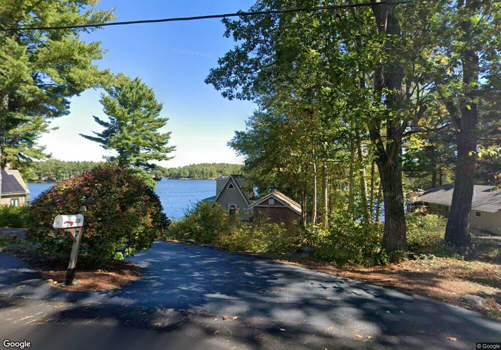
25 Laurie Ln Westminster, MA 01473
Estimated Value: $460,510 - $644,000
2
Beds
1
Bath
929
Sq Ft
$559/Sq Ft
Est. Value
About This Home
This home is located at 25 Laurie Ln, Westminster, MA 01473 and is currently estimated at $518,878, approximately $558 per square foot. 25 Laurie Ln is a home located in Worcester County with nearby schools including Oakmont Regional High School.
Ownership History
Date
Name
Owned For
Owner Type
Purchase Details
Closed on
Mar 27, 1987
Sold by
Granger Jack L
Bought by
Roth S E
Current Estimated Value
Home Financials for this Owner
Home Financials are based on the most recent Mortgage that was taken out on this home.
Original Mortgage
$86,400
Interest Rate
9.03%
Mortgage Type
Purchase Money Mortgage
Create a Home Valuation Report for This Property
The Home Valuation Report is an in-depth analysis detailing your home's value as well as a comparison with similar homes in the area
Home Values in the Area
Average Home Value in this Area
Purchase History
| Date | Buyer | Sale Price | Title Company |
|---|---|---|---|
| Roth S E | $96,000 | -- |
Source: Public Records
Mortgage History
| Date | Status | Borrower | Loan Amount |
|---|---|---|---|
| Closed | Roth S E | $82,000 | |
| Closed | Roth S E | $86,400 |
Source: Public Records
Tax History
| Year | Tax Paid | Tax Assessment Tax Assessment Total Assessment is a certain percentage of the fair market value that is determined by local assessors to be the total taxable value of land and additions on the property. | Land | Improvement |
|---|---|---|---|---|
| 2025 | $5,707 | $464,000 | $319,900 | $144,100 |
| 2024 | $5,515 | $449,800 | $314,200 | $135,600 |
| 2023 | $5,180 | $396,600 | $277,600 | $119,000 |
| 2022 | $5,201 | $329,200 | $232,000 | $97,200 |
| 2021 | $4,798 | $286,300 | $193,800 | $92,500 |
| 2020 | $4,430 | $252,400 | $165,600 | $86,800 |
| 2019 | $4,079 | $223,500 | $136,700 | $86,800 |
| 2018 | $4,639 | $250,100 | $162,800 | $87,300 |
| 2017 | $4,513 | $248,100 | $162,800 | $85,300 |
| 2016 | $4,235 | $225,500 | $138,200 | $87,300 |
| 2015 | $4,273 | $225,500 | $138,200 | $87,300 |
| 2014 | $4,280 | $225,500 | $138,200 | $87,300 |
Source: Public Records
Map
Nearby Homes
- 3 Linda Dr
- Lot 0 Narrows Rd
- 97 Worcester Rd
- 3 Woods Rd
- 224 Worcester Rd Unit B
- 224 Worcester Rd
- 20 Battles Rd
- 169 Narrows Rd
- 21 Davis Rd
- 0 Worcester Rd Unit 73326124
- 17 Leominster St
- 2 Seaver St
- 2 Roberts Way
- 38 Knower Rd
- 9 Knower Rd
- 0 Minott Rd
- 0 Syd Smith Rd Unit 73395578
- 0 Syd Smith Rd (Rear)
- 0 Syd Smith Rd Map 71 Lot 4-2
- 0
Your Personal Tour Guide
Ask me questions while you tour the home.