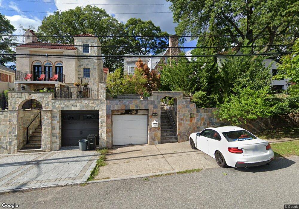
25 Leslie Ave Unit 27 Staten Island, NY 10305
Grasmere NeighborhoodEstimated Value: $861,555 - $1,249,000
3
Beds
2
Baths
2,105
Sq Ft
$480/Sq Ft
Est. Value
About This Home
This home is located at 25 Leslie Ave Unit 27, Staten Island, NY 10305 and is currently estimated at $1,010,889, approximately $480 per square foot. 25 Leslie Ave Unit 27 is a home located in Richmond County with nearby schools including P.S. 48 - William C. Wilcox, I.S. 49 Berta A Dreyfus, and Curtis High School.
Ownership History
Date
Name
Owned For
Owner Type
Purchase Details
Closed on
Nov 17, 2004
Sold by
Angilletta Nicholas and Angilletta Tina
Bought by
Yutsis Sergey and Yutsis Tatyana
Current Estimated Value
Home Financials for this Owner
Home Financials are based on the most recent Mortgage that was taken out on this home.
Original Mortgage
$480,000
Interest Rate
4.75%
Mortgage Type
Fannie Mae Freddie Mac
Purchase Details
Closed on
Mar 13, 1996
Sold by
Bastier Henry L and Bastier Helen L
Bought by
Angilletta Nicholas and Angilletta Tina
Create a Home Valuation Report for This Property
The Home Valuation Report is an in-depth analysis detailing your home's value as well as a comparison with similar homes in the area
Home Values in the Area
Average Home Value in this Area
Purchase History
| Date | Buyer | Sale Price | Title Company |
|---|---|---|---|
| Yutsis Sergey | $688,000 | Title Issues Agency Llc | |
| Angilletta Nicholas | $205,000 | First American Title Ins Co |
Source: Public Records
Mortgage History
| Date | Status | Borrower | Loan Amount |
|---|---|---|---|
| Previous Owner | Yutsis Sergey | $480,000 | |
| Closed | Yutsis Sergey | $100,000 |
Source: Public Records
Tax History Compared to Growth
Tax History
| Year | Tax Paid | Tax Assessment Tax Assessment Total Assessment is a certain percentage of the fair market value that is determined by local assessors to be the total taxable value of land and additions on the property. | Land | Improvement |
|---|---|---|---|---|
| 2025 | $8,479 | $58,620 | $8,153 | $50,467 |
| 2024 | $8,480 | $52,320 | $8,618 | $43,702 |
| 2023 | $8,089 | $39,830 | $7,757 | $32,073 |
| 2022 | $7,951 | $45,720 | $10,680 | $35,040 |
| 2021 | $8,016 | $44,760 | $10,680 | $34,080 |
| 2020 | $7,598 | $43,860 | $10,680 | $33,180 |
| 2019 | $7,067 | $40,980 | $10,680 | $30,300 |
| 2018 | $6,469 | $33,192 | $9,246 | $23,946 |
| 2017 | $6,467 | $33,192 | $10,626 | $22,566 |
| 2016 | $6,276 | $32,942 | $10,145 | $22,797 |
| 2015 | -- | $31,078 | $8,646 | $22,432 |
| 2014 | -- | $29,319 | $8,475 | $20,844 |
Source: Public Records
Map
Nearby Homes
- 84 Sheridan Ave
- 23 Marie St
- 25 Marie St
- 69 Fayette Ave
- 66 Normalee Rd
- 112 Windermere Rd
- 39 Winfield Ave
- 185 Radcliff Rd
- 35 Stonegate Dr Unit 249
- 4 Sheridan Ave
- 80 Hillcrest Terrace
- 79 Kermit Ave
- 483 Steuben St
- 2011 Clove Rd
- 669 W Fingerboard Rd
- 4 Mccormick Place
- 63 Gateway Dr Unit 172
- 11 Jerome Ave
- 31 Alan Loop Unit 65
- 995 W Fingerboard Rd Unit 290