25 Liberty Ln Unit W6 Franklin, NJ 07416
Estimated Value: $285,048 - $304,000
--
Bed
--
Bath
830
Sq Ft
$358/Sq Ft
Est. Value
About This Home
This home is located at 25 Liberty Ln Unit W6, Franklin, NJ 07416 and is currently estimated at $297,262, approximately $358 per square foot. 25 Liberty Ln Unit W6 is a home located in Sussex County with nearby schools including Franklin Elementary School, Wallkill Valley Regional High School, and Immaculate Conception Regional School.
Ownership History
Date
Name
Owned For
Owner Type
Purchase Details
Closed on
Oct 22, 2019
Sold by
Davis Michaela and Estate Of Peter Osusky
Bought by
Matlock Russell and Fogelson Catherine
Current Estimated Value
Home Financials for this Owner
Home Financials are based on the most recent Mortgage that was taken out on this home.
Original Mortgage
$140,900
Outstanding Balance
$126,110
Interest Rate
4.62%
Mortgage Type
FHA
Estimated Equity
$171,152
Purchase Details
Closed on
Apr 17, 2008
Sold by
Ciezak Dorothy J and Bonker Lorraine R
Bought by
Osusky Peter
Home Financials for this Owner
Home Financials are based on the most recent Mortgage that was taken out on this home.
Original Mortgage
$105,000
Interest Rate
5.99%
Mortgage Type
Purchase Money Mortgage
Purchase Details
Closed on
Jul 1, 1997
Sold by
Bonker Louisa
Bought by
Ciezak Dorothy J
Create a Home Valuation Report for This Property
The Home Valuation Report is an in-depth analysis detailing your home's value as well as a comparison with similar homes in the area
Home Values in the Area
Average Home Value in this Area
Purchase History
| Date | Buyer | Sale Price | Title Company |
|---|---|---|---|
| Matlock Russell | $143,500 | Fidelity National Ttl Ins Co | |
| Osusky Peter | $150,000 | Advantage Title Agency Inc | |
| Ciezak Dorothy J | -- | -- |
Source: Public Records
Mortgage History
| Date | Status | Borrower | Loan Amount |
|---|---|---|---|
| Open | Matlock Russell | $140,900 | |
| Previous Owner | Osusky Peter | $105,000 |
Source: Public Records
Tax History Compared to Growth
Tax History
| Year | Tax Paid | Tax Assessment Tax Assessment Total Assessment is a certain percentage of the fair market value that is determined by local assessors to be the total taxable value of land and additions on the property. | Land | Improvement |
|---|---|---|---|---|
| 2025 | $6,171 | $252,100 | $115,000 | $137,100 |
| 2024 | $5,980 | $232,500 | $100,000 | $132,500 |
| 2023 | $4,889 | $108,800 | $44,400 | $64,400 |
| 2022 | $4,909 | $108,800 | $44,400 | $64,400 |
| 2021 | $4,887 | $108,800 | $44,400 | $64,400 |
| 2020 | $4,812 | $108,800 | $44,400 | $64,400 |
| 2019 | $4,663 | $108,800 | $44,400 | $64,400 |
| 2018 | $4,638 | $108,800 | $44,400 | $64,400 |
| 2017 | $4,611 | $108,800 | $44,400 | $64,400 |
| 2016 | $4,537 | $108,800 | $44,400 | $64,400 |
| 2015 | $4,417 | $108,800 | $44,400 | $64,400 |
| 2014 | $4,326 | $108,800 | $44,400 | $64,400 |
Source: Public Records
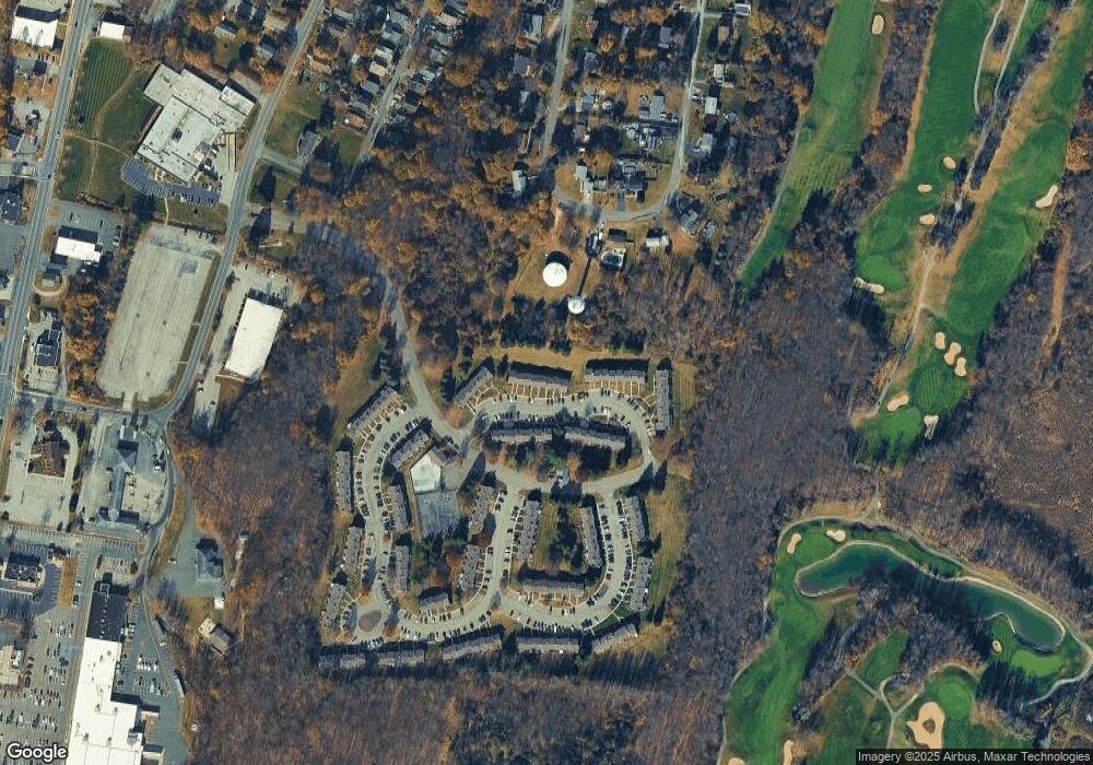
Map
Nearby Homes
- 23 Liberty Ln Unit W5
- 45 Ben Franklin Dr Unit T1
- 76 Constitution Way Unit 76
- 76 Constitution Way Unit 534
- 20 High Point CI
- 6 South St
- 309 Rutherford Ave
- 52 High St
- 66 Nestor St
- 26 Wyker Rd Unit A
- 26 Wyker Rd Unit 2207
- 65 Buckwheat Rd
- 112 Scott Rd
- 8 Fowler St Unit 10
- 65 Scott Rd
- 580 State Rt 23
- 69 New Jersey 23
- 33 Maple Rd
- 7 Woodland Rd
- 140 Wheatsworth Rd
- 27 Liberty Ln Unit W7
- 21 Liberty Ln Unit W4
- 29 Liberty Ln Unit W8
- 19 Liberty Ln Unit W3
- 17 Liberty Ln Unit W2
- 15 Liberty Ln Unit W1
- 33 Liberty Ln Unit Y1
- 35 Liberty Ln Unit Y2
- 37 Liberty Ln Unit 3
- 18 Liberty Ln Unit X8
- 20 Liberty Ln Unit X7
- 16 Liberty Ln Unit V1
- 22 Liberty Ln Unit X4
- 24 Liberty Ln Unit 5
- 14 Liberty Ln Unit 2
- 39 Liberty Ln Unit Y4
- 11 Liberty Ln Unit U6
- 26 Liberty Ln Unit X4
- 12 Liberty Ln
- 28 Liberty Ln Unit X3