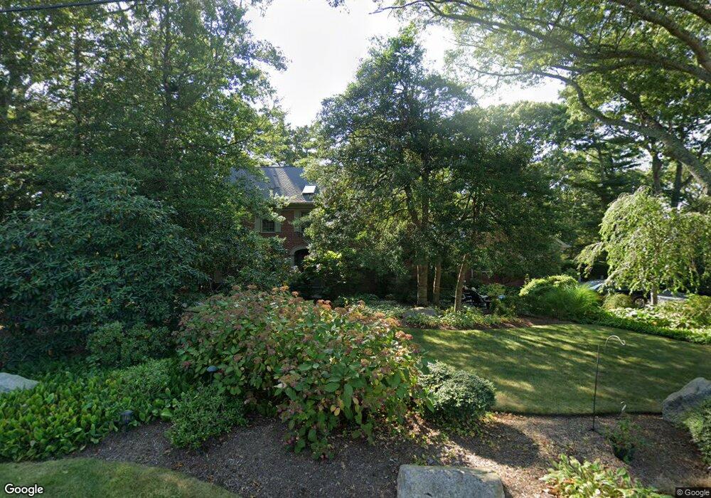
25 Long Pond Cir Centerville, MA 02632
Centerville NeighborhoodEstimated Value: $1,297,000 - $1,746,000
4
Beds
4
Baths
3,446
Sq Ft
$448/Sq Ft
Est. Value
About This Home
This home is located at 25 Long Pond Cir, Centerville, MA 02632 and is currently estimated at $1,542,484, approximately $447 per square foot. 25 Long Pond Cir is a home located in Barnstable County with nearby schools including Centerville Elementary School, Barnstable United Elementary School, and Barnstable Intermediate School.
Ownership History
Date
Name
Owned For
Owner Type
Purchase Details
Closed on
Feb 14, 2017
Sold by
Cohen Shelly S
Bought by
Cohen Ret and Cohen
Current Estimated Value
Purchase Details
Closed on
Jun 5, 2015
Sold by
Cohen Ret and Cohen
Bought by
Cohen Shelly S
Purchase Details
Closed on
Mar 2, 2015
Sold by
Cohen Shelly
Bought by
Cohen Ret and Cohen
Create a Home Valuation Report for This Property
The Home Valuation Report is an in-depth analysis detailing your home's value as well as a comparison with similar homes in the area
Home Values in the Area
Average Home Value in this Area
Purchase History
| Date | Buyer | Sale Price | Title Company |
|---|---|---|---|
| Cohen Ret | -- | -- | |
| Cohen Ret | -- | -- | |
| Cohen Ret | -- | -- | |
| Cohen Shelly S | -- | -- | |
| Cohen Shelly S | -- | -- | |
| Cohen Shelly S | -- | -- | |
| Cohen Ret | -- | -- | |
| Cohen Ret | -- | -- | |
| Cohen Ret | -- | -- |
Source: Public Records
Mortgage History
| Date | Status | Borrower | Loan Amount |
|---|---|---|---|
| Previous Owner | Cohen Ret | $122,000 | |
| Previous Owner | Cohen Ret | $85,000 |
Source: Public Records
Tax History Compared to Growth
Tax History
| Year | Tax Paid | Tax Assessment Tax Assessment Total Assessment is a certain percentage of the fair market value that is determined by local assessors to be the total taxable value of land and additions on the property. | Land | Improvement |
|---|---|---|---|---|
| 2025 | $12,739 | $1,574,600 | $293,400 | $1,281,200 |
| 2024 | $11,485 | $1,470,500 | $296,200 | $1,174,300 |
| 2023 | $10,848 | $1,300,700 | $293,000 | $1,007,700 |
| 2022 | $9,679 | $1,004,000 | $187,700 | $816,300 |
| 2021 | $9,283 | $884,900 | $199,400 | $685,500 |
| 2020 | $8,715 | $795,200 | $211,200 | $584,000 |
| 2019 | $8,771 | $777,600 | $222,900 | $554,700 |
| 2018 | $7,816 | $696,600 | $222,300 | $474,300 |
| 2017 | $7,401 | $687,800 | $228,500 | $459,300 |
| 2016 | $7,461 | $684,500 | $225,200 | $459,300 |
| 2015 | -- | $701,600 | $226,400 | $475,200 |
Source: Public Records
Map
Nearby Homes
- 40 Sachem Dr
- 156 S Main St
- 149 Old Stage Rd
- 290 Riverview Ln
- 52 Meadow Farm Rd
- 53 Meadow Farm Rd
- 50 Pheasant Way Unit A&B
- 50 Pheasant Way
- 436 S Main St
- 576 Strawberry Hill Rd
- 359 Lake Elizabeth Dr
- 498 Elliott Rd
- 58 Loomis Ln
- 825 W Main St Unit 4
- 35 Valley Ave
- 81 Monomoy Cir
- 1060 Craigville Beach Rd
- 627 S Main St
- 140 Wequaquet Ln
- 627 S Main St