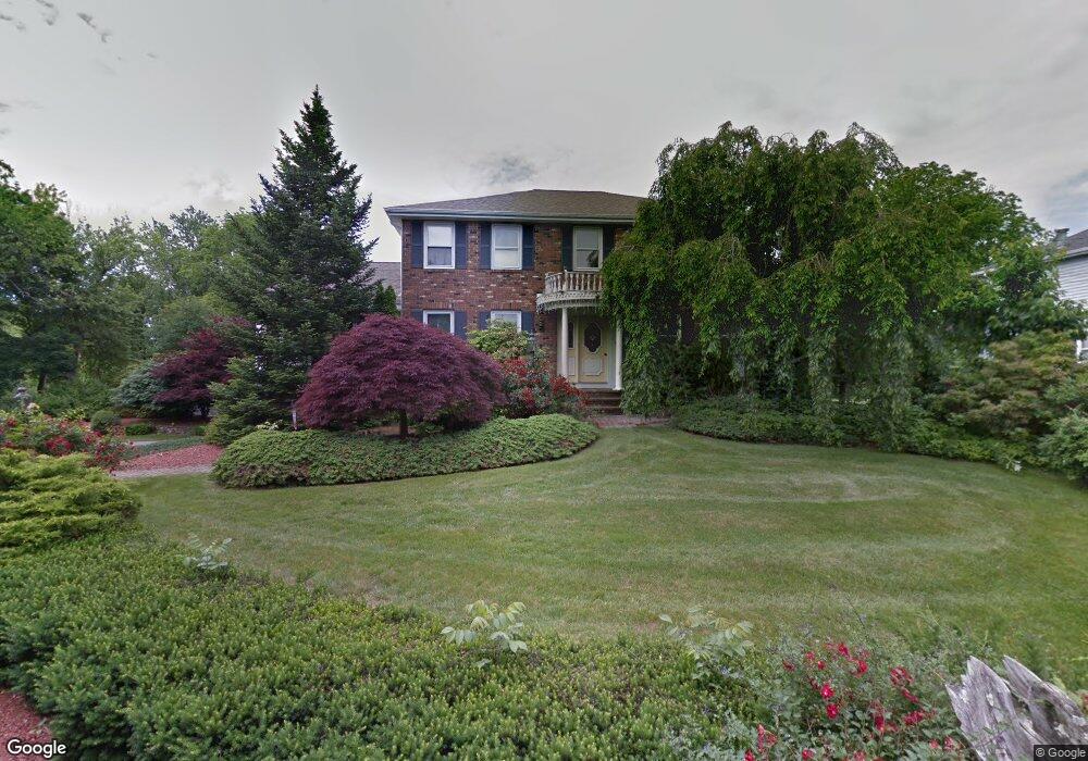
25 Loring Rd Methuen, MA 01844
The East End NeighborhoodEstimated Value: $699,000 - $727,000
4
Beds
3
Baths
2,406
Sq Ft
$295/Sq Ft
Est. Value
About This Home
This home is located at 25 Loring Rd, Methuen, MA 01844 and is currently estimated at $710,876, approximately $295 per square foot. 25 Loring Rd is a home located in Essex County with nearby schools including Timony Grammar School, Methuen High School, and Community Day Charter Public School - Gateway.
Ownership History
Date
Name
Owned For
Owner Type
Purchase Details
Closed on
May 8, 2014
Sold by
Devine Donald W and Devine Joan M
Bought by
Devine Ft and Jones
Current Estimated Value
Create a Home Valuation Report for This Property
The Home Valuation Report is an in-depth analysis detailing your home's value as well as a comparison with similar homes in the area
Home Values in the Area
Average Home Value in this Area
Purchase History
| Date | Buyer | Sale Price | Title Company |
|---|---|---|---|
| Devine Ft | -- | -- | |
| Devine Ft | -- | -- |
Source: Public Records
Mortgage History
| Date | Status | Borrower | Loan Amount |
|---|---|---|---|
| Previous Owner | Devine Ft | $75,000 |
Source: Public Records
Tax History
| Year | Tax Paid | Tax Assessment Tax Assessment Total Assessment is a certain percentage of the fair market value that is determined by local assessors to be the total taxable value of land and additions on the property. | Land | Improvement |
|---|---|---|---|---|
| 2025 | $6,781 | $640,900 | $263,400 | $377,500 |
| 2024 | $6,748 | $621,400 | $240,200 | $381,200 |
| 2023 | $6,489 | $554,600 | $213,500 | $341,100 |
| 2022 | $6,053 | $463,800 | $169,000 | $294,800 |
| 2021 | $5,706 | $432,600 | $160,100 | $272,500 |
| 2020 | $5,665 | $421,500 | $160,100 | $261,400 |
| 2019 | $5,507 | $388,100 | $151,200 | $236,900 |
| 2018 | $5,189 | $368,200 | $142,400 | $225,800 |
| 2017 | $5,123 | $349,700 | $142,400 | $207,300 |
| 2016 | $4,861 | $328,200 | $124,600 | $203,600 |
| 2015 | $4,682 | $320,700 | $124,600 | $196,100 |
Source: Public Records
Map
Nearby Homes
- 1 Riverview Blvd Unit 8-203
- 32 Josephine Ave
- 264 E Haverhill St Unit 2
- 106 Leroy Ave
- 18 Erhardt Terrace
- 7 Erhardt Terrace
- 68 Ashford St
- 39 Swan Ave
- 2 Leslie St
- 12 Annette St
- 14 Court St
- 65 Arthur St
- 27 Woodland Ct
- 52 Howard St
- 25-27 Bicknell Ave
- 5 Kendrick St
- 7 Stevens Ct
- 192 Union St
- 37 Albion St
- 30 Anderson Dr
Your Personal Tour Guide
Ask me questions while you tour the home.