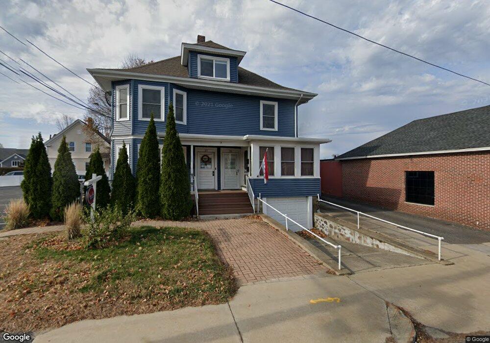
25 Main St Unit 27 North Andover, MA 01845
Estimated Value: $704,830
8
Beds
4
Baths
3,407
Sq Ft
$207/Sq Ft
Est. Value
About This Home
This home is located at 25 Main St Unit 27, North Andover, MA 01845 and is currently estimated at $704,830, approximately $206 per square foot. 25 Main St Unit 27 is a home located in Essex County with nearby schools including Thomson Elementary School, North Andover Middle School, and North Andover High School.
Ownership History
Date
Name
Owned For
Owner Type
Purchase Details
Closed on
Nov 12, 2010
Sold by
Johnson Tr Lynne M and Carlson Lynne M
Bought by
25 & 27 Main St Rlty Llc
Current Estimated Value
Home Financials for this Owner
Home Financials are based on the most recent Mortgage that was taken out on this home.
Original Mortgage
$244,000
Outstanding Balance
$161,643
Interest Rate
4.35%
Mortgage Type
Commercial
Estimated Equity
$543,187
Purchase Details
Closed on
Jun 30, 1995
Sold by
Caron Dev Tr
Bought by
Beach Plum Rt
Home Financials for this Owner
Home Financials are based on the most recent Mortgage that was taken out on this home.
Original Mortgage
$165,000
Interest Rate
7.8%
Mortgage Type
Commercial
Create a Home Valuation Report for This Property
The Home Valuation Report is an in-depth analysis detailing your home's value as well as a comparison with similar homes in the area
Home Values in the Area
Average Home Value in this Area
Purchase History
| Date | Buyer | Sale Price | Title Company |
|---|---|---|---|
| 25 & 27 Main St Rlty Llc | $305,000 | -- | |
| Beach Plum Rt | $226,000 | -- |
Source: Public Records
Mortgage History
| Date | Status | Borrower | Loan Amount |
|---|---|---|---|
| Open | 25 & 27 Main St Rlty Llc | $244,000 | |
| Previous Owner | Beach Plum Rt | $165,000 |
Source: Public Records
Tax History Compared to Growth
Tax History
| Year | Tax Paid | Tax Assessment Tax Assessment Total Assessment is a certain percentage of the fair market value that is determined by local assessors to be the total taxable value of land and additions on the property. | Land | Improvement |
|---|---|---|---|---|
| 2025 | $8,192 | $727,500 | $165,200 | $562,300 |
| 2024 | -- | $696,800 | $154,600 | $542,200 |
| 2023 | $0 | $606,200 | $143,900 | $462,300 |
| 2022 | $0 | $520,300 | $127,900 | $392,400 |
| 2021 | $0 | $484,900 | $117,300 | $367,600 |
| 2020 | $0 | $479,500 | $111,900 | $367,600 |
| 2019 | $0 | $479,500 | $111,900 | $367,600 |
| 2018 | $0 | $481,500 | $113,900 | $367,600 |
| 2017 | $0 | $460,800 | $158,400 | $302,400 |
| 2016 | -- | $460,800 | $158,400 | $302,400 |
| 2015 | -- | $441,100 | $138,200 | $302,900 |
Source: Public Records
Map
Nearby Homes
- 68 Belmont St Unit 68
- 148 Main St Unit A508
- 148 Main St Unit C538
- 148 Main St Unit A307
- 64 2nd St
- 62 Brightwood Ave
- 29 Brightwood Ave
- 68 Union St
- 78 Union St Unit 80
- 385 Sutton St
- 75 Beverly St Unit 75
- 127 Marblehead St Unit A
- 13 Woodland St
- 317 Middlesex St
- 7 Stevens Ct
- 52 Howard St
- 12 Walker Rd Unit 6
- 33 Herrick Rd
- 8 Little Rd
- 19-21 Pleasant Terrace
- 25-27 Main St
- 21 Main St
- 47 Main St Unit left
- 47 Main St Unit 47
- 7375 Main St
- 23 Main St
- 9 May St
- 9 May St Unit 1
- 22-24 Main (Rear Lot)
- 28 Main St Unit 30
- 28 Main St Unit 102
- 28 Main St Unit 2
- 17 Main St Unit 2
- 22 Main St
- 24 rear(0) Main St
- 24 Main St Unit 28
- 24 Main St Unit 3
- 13 May St
- 13 May St Unit 13
- 13 May St