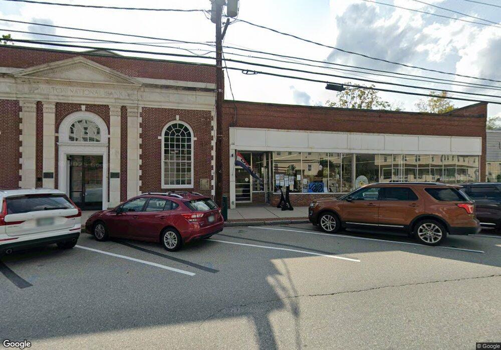
25 Main St Wilton, NH 03086
Estimated Value: $331,750
Studio
1
Bath
2,796
Sq Ft
$119/Sq Ft
Est. Value
About This Home
This home is located at 25 Main St, Wilton, NH 03086 and is currently estimated at $331,750, approximately $118 per square foot. 25 Main St is a home located in Hillsborough County with nearby schools including Florence Rideout Elementary School, Wilton-Lyndeborough Cooperative Middle School, and Wilton-Lyndeborough Cooperative High School.
Ownership History
Date
Name
Owned For
Owner Type
Purchase Details
Closed on
Jan 26, 2007
Sold by
Chester E Harwood T
Bought by
Whistlewind Enterprise
Current Estimated Value
Purchase Details
Closed on
Jul 18, 2000
Sold by
Baker Edward F and Baker Sylvia C
Bought by
Lennon Julius J
Home Financials for this Owner
Home Financials are based on the most recent Mortgage that was taken out on this home.
Original Mortgage
$73,200
Interest Rate
8.5%
Mortgage Type
Commercial
Create a Home Valuation Report for This Property
The Home Valuation Report is an in-depth analysis detailing your home's value as well as a comparison with similar homes in the area
Home Values in the Area
Average Home Value in this Area
Purchase History
| Date | Buyer | Sale Price | Title Company |
|---|---|---|---|
| Whistlewind Enterprise | $165,000 | -- | |
| Whistlewind Enterprise | $165,000 | -- | |
| Lennon Julius J | $75,500 | -- | |
| Lennon Julius J | $75,500 | -- |
Source: Public Records
Mortgage History
| Date | Status | Borrower | Loan Amount |
|---|---|---|---|
| Previous Owner | Lennon Julius J | $73,200 |
Source: Public Records
Tax History
| Year | Tax Paid | Tax Assessment Tax Assessment Total Assessment is a certain percentage of the fair market value that is determined by local assessors to be the total taxable value of land and additions on the property. | Land | Improvement |
|---|---|---|---|---|
| 2025 | $5,566 | $206,300 | $105,000 | $101,300 |
| 2024 | $5,131 | $206,300 | $105,000 | $101,300 |
| 2023 | $4,580 | $206,300 | $105,000 | $101,300 |
| 2022 | $4,262 | $206,300 | $105,000 | $101,300 |
| 2021 | $4,115 | $214,100 | $109,400 | $104,700 |
| 2020 | $5,105 | $173,700 | $73,100 | $100,600 |
| 2019 | $5,044 | $173,700 | $73,100 | $100,600 |
| 2018 | $4,996 | $173,700 | $73,100 | $100,600 |
| 2017 | $4,719 | $173,700 | $73,100 | $100,600 |
| 2016 | $4,575 | $173,700 | $73,100 | $100,600 |
| 2015 | $4,812 | $182,700 | $73,100 | $109,600 |
| 2014 | $4,714 | $182,700 | $73,100 | $109,600 |
| 2013 | $4,754 | $182,700 | $73,100 | $109,600 |
Source: Public Records
Map
Nearby Homes
- 10 Whiting Hill Rd
- 25 Burns Hill Rd
- 123 Falcon Ridge Rd
- 82 Wilton Rd Unit A
- 82 Wilton Rd Unit B
- 82 Wilton Rd Unit A & B
- 23 Falcon Ridge Rd Unit 23
- 33 Falcon Ridge Rd Unit 33
- 24 Falcon Ridge Rd Unit 24
- Lot 053 Holt Rd
- F-88-11 Aria Hill Dr
- F-88-12 Aria Hill Dr
- F-88-7 Aria Hill Dr
- F88-9 McGettigan Rd
- F/88-5 McGettigan Rd
- F/88-4 McGettigan Rd
- 16 Cortland Rd
- 599 N River Rd
- 589 Gibbons Hwy
- 545 Elm St Unit 4
Your Personal Tour Guide
Ask me questions while you tour the home.