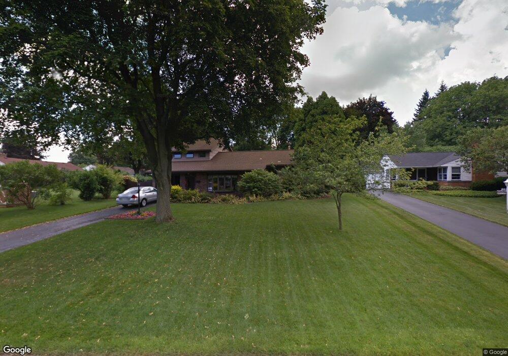
25 Mandy Ln Rochester, NY 14625
Estimated Value: $396,000 - $516,000
3
Beds
2
Baths
2,236
Sq Ft
$206/Sq Ft
Est. Value
About This Home
This home is located at 25 Mandy Ln, Rochester, NY 14625 and is currently estimated at $459,598, approximately $205 per square foot. 25 Mandy Ln is a home located in Monroe County with nearby schools including Bay Trail Middle School, Penfield Senior High School, and Rochester Classical Academy.
Ownership History
Date
Name
Owned For
Owner Type
Purchase Details
Closed on
Feb 6, 2007
Sold by
Raymond Thomas
Bought by
Raymond Thomas
Current Estimated Value
Home Financials for this Owner
Home Financials are based on the most recent Mortgage that was taken out on this home.
Original Mortgage
$27,443
Interest Rate
6.22%
Mortgage Type
FHA
Purchase Details
Closed on
Jan 29, 2007
Sold by
Raymond Thomas
Bought by
Raymond Thomas
Home Financials for this Owner
Home Financials are based on the most recent Mortgage that was taken out on this home.
Original Mortgage
$27,443
Interest Rate
6.22%
Mortgage Type
FHA
Create a Home Valuation Report for This Property
The Home Valuation Report is an in-depth analysis detailing your home's value as well as a comparison with similar homes in the area
Home Values in the Area
Average Home Value in this Area
Purchase History
| Date | Buyer | Sale Price | Title Company |
|---|---|---|---|
| Raymond Thomas | -- | -- | |
| Raymond Thomas | -- | -- |
Source: Public Records
Mortgage History
| Date | Status | Borrower | Loan Amount |
|---|---|---|---|
| Closed | Raymond Thomas | $27,443 |
Source: Public Records
Tax History Compared to Growth
Tax History
| Year | Tax Paid | Tax Assessment Tax Assessment Total Assessment is a certain percentage of the fair market value that is determined by local assessors to be the total taxable value of land and additions on the property. | Land | Improvement |
|---|---|---|---|---|
| 2024 | $10,615 | $232,100 | $35,400 | $196,700 |
| 2023 | $8,538 | $232,100 | $35,400 | $196,700 |
| 2022 | $9,191 | $232,100 | $35,400 | $196,700 |
| 2021 | $9,028 | $232,100 | $35,400 | $196,700 |
| 2020 | $7,295 | $232,100 | $35,400 | $196,700 |
| 2019 | $7,192 | $232,100 | $35,400 | $196,700 |
| 2018 | $8,382 | $232,100 | $35,400 | $196,700 |
| 2017 | $4,501 | $185,000 | $39,700 | $145,300 |
| 2016 | $7,192 | $185,000 | $39,700 | $145,300 |
| 2015 | -- | $185,000 | $39,700 | $145,300 |
| 2014 | -- | $185,000 | $39,700 | $145,300 |
Source: Public Records
Map
Nearby Homes
- 253 Cloverland Dr
- 812 Landing Rd N
- 0 N Landing Rd
- 140 Dorking Rd
- 112 Dorking Rd
- 1736 Blossom Rd
- 960 Landing Rd N
- 68 Landing Rd S
- 120 Oak Ln
- 2434 East Ave Unit D
- 222 Shaftsbury Rd
- 10 Thornwood Dr
- 15 Drury Ln
- 2615 East Ave
- 153 Fairhaven Rd
- 200 Alaimo Dr
- 2203 East Ave
- 2491 Highland Ave
- 262 Beresford Rd
- 2475 Highland Ave
- 35 Mandy Ln
- 659 Landing Rd N
- 649 Landing Rd N
- 669 Landing Rd N
- 45 Mandy Ln
- 260 Cloverland Dr
- 270 Cloverland Dr
- 250 Cloverland Dr
- 679 Landing Rd N
- 30 Mandy Ln
- 10 Mandy Ln
- 40 Mandy Ln
- 55 Mandy Ln
- 240 Cloverland Dr
- 50 Mandy Ln
- 619 Landing Rd N
- 230 Cloverland Dr
- 701 Landing Rd N
- 71 Mandy Ln
- 611 Landing Rd N