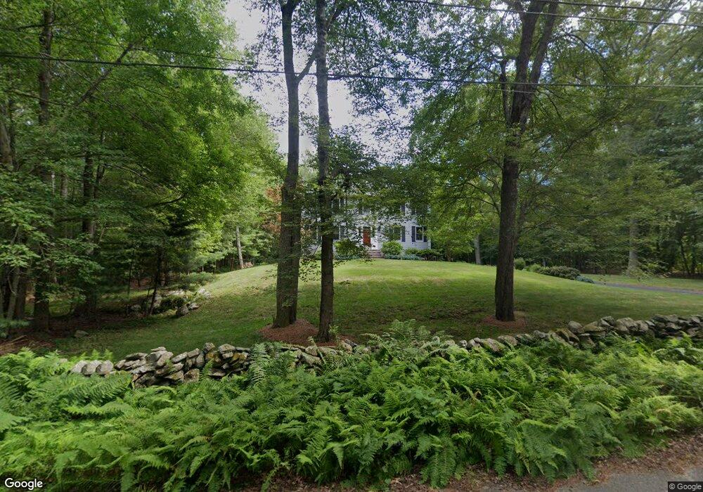
25 Maple Ln Rehoboth, MA 02769
Estimated Value: $630,766 - $958,000
4
Beds
3
Baths
2,080
Sq Ft
$361/Sq Ft
Est. Value
About This Home
This home is located at 25 Maple Ln, Rehoboth, MA 02769 and is currently estimated at $749,942, approximately $360 per square foot. 25 Maple Ln is a home located in Bristol County with nearby schools including Dighton-Rehoboth Regional High School.
Ownership History
Date
Name
Owned For
Owner Type
Purchase Details
Closed on
Jul 30, 1999
Sold by
Smith William M and Smith Laurie A
Bought by
Maher Thomas R and Maher Debra L
Current Estimated Value
Purchase Details
Closed on
May 19, 1994
Sold by
Case Lorraine B
Bought by
Smith William M and Smith Laurie A
Create a Home Valuation Report for This Property
The Home Valuation Report is an in-depth analysis detailing your home's value as well as a comparison with similar homes in the area
Home Values in the Area
Average Home Value in this Area
Purchase History
| Date | Buyer | Sale Price | Title Company |
|---|---|---|---|
| Maher Thomas R | $242,000 | -- | |
| Smith William M | $59,900 | -- |
Source: Public Records
Mortgage History
| Date | Status | Borrower | Loan Amount |
|---|---|---|---|
| Open | Smith William M | $180,000 | |
| Previous Owner | Smith William M | $164,300 | |
| Previous Owner | Smith William M | $20,000 | |
| Previous Owner | Smith William M | $148,000 |
Source: Public Records
Tax History
| Year | Tax Paid | Tax Assessment Tax Assessment Total Assessment is a certain percentage of the fair market value that is determined by local assessors to be the total taxable value of land and additions on the property. | Land | Improvement |
|---|---|---|---|---|
| 2025 | $57 | $511,200 | $199,700 | $311,500 |
| 2024 | $5,767 | $507,700 | $199,700 | $308,000 |
| 2023 | $5,259 | $466,000 | $195,700 | $270,300 |
| 2022 | $5,259 | $415,100 | $187,300 | $227,800 |
| 2021 | $5,031 | $380,000 | $171,000 | $209,000 |
| 2020 | $1,178 | $380,000 | $171,000 | $209,000 |
| 2018 | $4,204 | $351,200 | $163,200 | $188,000 |
| 2017 | $4,118 | $327,900 | $163,200 | $164,700 |
| 2016 | $3,984 | $327,900 | $163,200 | $164,700 |
| 2015 | $3,819 | $310,200 | $156,000 | $154,200 |
| 2014 | $3,769 | $303,000 | $148,800 | $154,200 |
Source: Public Records
Map
Nearby Homes
- 0 Horton St Unit 73333337
- 24 New St
- 133 Winthrop St
- 2713 Horton St
- 23 Bay State Rd
- 248 County
- 0 Winthrop St Unit 73180872
- 349 Anawan St
- 145 Winthrop St
- 139 Winthrop St
- 10 Muriel Way
- 257 Anawan St
- 321 Winthrop St
- 19 Cedar St Unit 21
- 185 Moulton St
- 2188 Cedar St
- 8 Linden Ln
- 8 Linden Ln
- 111 Summer St
- 1 Clubhouse Way
- 21 Maple Ln
- 30 Maple Ln
- 29 Maple Ln
- 15 Maple Ln
- 34 Maple Ln
- 16 Maple Ln
- 41 Maple Ln
- 26 Maple Ln
- 11 Maple Ln
- 40 Maple Ln
- 10 Maple Ln
- 45 Maple Ln
- 22 Maple Ln
- 7 Maple Ln
- 51 Maple Ln
- 0 Maple Lane L-17a Unit 50491783
- 0 Maple Lane L-M41 P-17d Unit 50491784
- 0 Maple Lane L-7e Unit 50491781
- 48 Maple Ln
- 52 Maple Ln
Your Personal Tour Guide
Ask me questions while you tour the home.