25 Mariners Way East Boothbay, ME 04544
Estimated Value: $574,176 - $682,000
2
Beds
1
Bath
1,152
Sq Ft
$550/Sq Ft
Est. Value
About This Home
This home is located at 25 Mariners Way, East Boothbay, ME 04544 and is currently estimated at $633,044, approximately $549 per square foot. 25 Mariners Way is a home with nearby schools including Boothbay Region Elementary School and Boothbay Region High School.
Ownership History
Date
Name
Owned For
Owner Type
Purchase Details
Closed on
Jan 12, 2022
Sold by
Mcphee Neal P
Bought by
Rochford Dennis E and Rochford Kathryn A
Current Estimated Value
Home Financials for this Owner
Home Financials are based on the most recent Mortgage that was taken out on this home.
Original Mortgage
$392,000
Outstanding Balance
$359,499
Interest Rate
3.05%
Mortgage Type
Purchase Money Mortgage
Estimated Equity
$273,545
Purchase Details
Closed on
Jun 2, 2009
Sold by
Mcphee Neal P
Bought by
Mcphee Neal P and Mcphee Valarie F
Create a Home Valuation Report for This Property
The Home Valuation Report is an in-depth analysis detailing your home's value as well as a comparison with similar homes in the area
Home Values in the Area
Average Home Value in this Area
Purchase History
| Date | Buyer | Sale Price | Title Company |
|---|---|---|---|
| Rochford Dennis E | $490,000 | None Available | |
| Mcphee Neal P | -- | -- | |
| Mcphee Neal P | -- | -- |
Source: Public Records
Mortgage History
| Date | Status | Borrower | Loan Amount |
|---|---|---|---|
| Open | Rochford Dennis E | $392,000 |
Source: Public Records
Tax History Compared to Growth
Tax History
| Year | Tax Paid | Tax Assessment Tax Assessment Total Assessment is a certain percentage of the fair market value that is determined by local assessors to be the total taxable value of land and additions on the property. | Land | Improvement |
|---|---|---|---|---|
| 2024 | $4,045 | $356,402 | $222,200 | $134,202 |
| 2023 | $3,651 | $363,272 | $222,200 | $141,072 |
| 2022 | $3,378 | $363,272 | $222,200 | $141,072 |
| 2021 | $3,469 | $363,272 | $222,200 | $141,072 |
| 2020 | $3,487 | $363,272 | $222,200 | $141,072 |
| 2019 | $3,433 | $363,272 | $222,200 | $141,072 |
| 2018 | $3,378 | $363,272 | $222,200 | $141,072 |
| 2017 | $3,782 | $411,100 | $275,800 | $135,300 |
| 2016 | $3,618 | $411,100 | $275,800 | $135,300 |
| 2015 | $3,597 | $411,100 | $275,800 | $135,300 |
| 2014 | $3,494 | $411,100 | $275,800 | $135,300 |
Source: Public Records
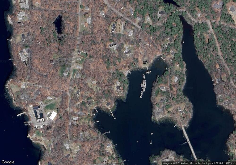
Map
Nearby Homes
- 44 King Phillips Trail
- 61 Van Horn Rd
- 12 Westwind Dr
- 127 Appalachee Rd
- 74 & 76 Bay St
- 5 Massachusetts Ave
- 31 Bay St
- 239 Ocean Point Rd
- 58 Roads End Rd
- 210 Ocean Point Rd
- Lts 23A&24 Birch Island
- Birch Island
- 27 Townsend Ave
- 37 Townsend Ave
- 23 Meadow Cove Rd
- 34 Townsend Ave
- 53 Commercial St
- 66 Townsend Ave
- 66 Townsend Avenue & 43 Oak St
- 43 Oak St
- 640 Ocean Point Rd
- 652 Ocean Point Rd
- 14 Yankee Way
- 11 Compass Cove Rd
- 15 Yankee Way
- 650 Ocean Point Rd
- 656 Ocean Point Rd
- 25 Kimball Ln
- 650 Ocean Point Rd
- 41 Hiawathia Trail
- 15 Kimball Ln
- 33 Hiawathia Trail
- 636 Ocean Point Rd
- 0 Yankees Way
- 9 Kimball Ln
- 642 Ocean Point Rd
- 664 Ocean Point Rd
- 664 Ocean Point Rd
- 8 Compass Cove Rd
- 636 Ocean Point Rd