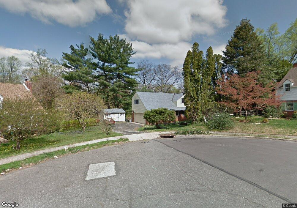
25 Martin Dr Lansdowne, PA 19050
Estimated Value: $361,000 - $468,000
4
Beds
3
Baths
2,138
Sq Ft
$194/Sq Ft
Est. Value
About This Home
This home is located at 25 Martin Dr, Lansdowne, PA 19050 and is currently estimated at $414,913, approximately $194 per square foot. 25 Martin Dr is a home located in Delaware County with nearby schools including Ardmore Avenue School, Penn Wood Middle School, and Penn Wood High School - Cypress Street Campus.
Ownership History
Date
Name
Owned For
Owner Type
Purchase Details
Closed on
Jun 11, 1999
Sold by
Lucey Stephen D
Bought by
Mccarry James and Mccarry Maureen
Current Estimated Value
Home Financials for this Owner
Home Financials are based on the most recent Mortgage that was taken out on this home.
Original Mortgage
$127,300
Outstanding Balance
$33,407
Interest Rate
6.99%
Estimated Equity
$381,506
Create a Home Valuation Report for This Property
The Home Valuation Report is an in-depth analysis detailing your home's value as well as a comparison with similar homes in the area
Home Values in the Area
Average Home Value in this Area
Purchase History
| Date | Buyer | Sale Price | Title Company |
|---|---|---|---|
| Mccarry James | $134,000 | Commonwealth Land Title Ins |
Source: Public Records
Mortgage History
| Date | Status | Borrower | Loan Amount |
|---|---|---|---|
| Open | Mccarry James | $127,300 |
Source: Public Records
Tax History Compared to Growth
Tax History
| Year | Tax Paid | Tax Assessment Tax Assessment Total Assessment is a certain percentage of the fair market value that is determined by local assessors to be the total taxable value of land and additions on the property. | Land | Improvement |
|---|---|---|---|---|
| 2025 | $10,385 | $252,240 | $97,100 | $155,140 |
| 2024 | $10,385 | $252,240 | $97,100 | $155,140 |
| 2023 | $9,901 | $252,240 | $97,100 | $155,140 |
| 2022 | $9,707 | $252,240 | $97,100 | $155,140 |
| 2021 | $14,576 | $252,240 | $97,100 | $155,140 |
| 2020 | $9,137 | $139,320 | $53,070 | $86,250 |
| 2019 | $8,984 | $139,320 | $53,070 | $86,250 |
| 2018 | $8,829 | $139,320 | $0 | $0 |
| 2017 | $8,635 | $139,320 | $0 | $0 |
| 2016 | $765 | $139,320 | $0 | $0 |
| 2015 | $780 | $139,320 | $0 | $0 |
| 2014 | $780 | $139,320 | $0 | $0 |
Source: Public Records
Map
Nearby Homes
- 108 Gladstone Rd
- 257 W Greenwood Ave
- 80 W Baltimore Ave Unit B510
- 182 Berkley Ave
- 185 Berkley Ave
- 233 Scottdale Rd
- 38 W Stratford Ave
- 29 W Stratford Ave
- 223 W Plumstead Ave
- 271 Drexel Ave
- 88 W Plumstead Ave
- 225 Glentay Ave
- 162 W Albemarle Ave
- 181 W Albemarle Ave
- 49 Elberon Ave
- 78 W Marshall Rd
- 162 Burmont Rd
- 3847 Dennison Ave
- 37 E Stratford Ave
- 32 N Wycombe Ave
- 21 Martin Dr
- 22 Martin Dr
- 17 Martin Dr
- 26 Willowbrook Ave
- 28 Willowbrook Ave
- 24 Willowbrook Ave
- 30 Willowbrook Ave
- 18 Martin Dr
- 22 Willowbrook Ave
- 32 Willowbrook Ave
- 20 Willowbrook Ave
- 34 Willowbrook Ave
- 13 Martin Dr
- 18 Willowbrook Ave
- 40 Willowbrook Ave
- 14 Willowbrook Ave
- 9 Martin Dr
- 10 Martin Dr
- 27 Willowbrook Ave
- 25 Willowbrook Ave