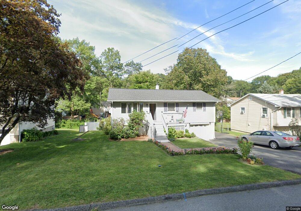
25 Mast Rd Hopatcong, NJ 07843
Estimated Value: $358,041 - $487,000
--
Bed
--
Bath
960
Sq Ft
$436/Sq Ft
Est. Value
About This Home
This home is located at 25 Mast Rd, Hopatcong, NJ 07843 and is currently estimated at $418,510, approximately $435 per square foot. 25 Mast Rd is a home located in Sussex County with nearby schools including Durban Avenue Elementary School, Hudson Maxim Elementary School, and Tulsa Trail Elementary School.
Ownership History
Date
Name
Owned For
Owner Type
Purchase Details
Closed on
Nov 25, 2002
Sold by
Gonzalez Rafael and Gonzalez Jackie Ann
Bought by
Schenck Karen L and Burton Karen
Current Estimated Value
Home Financials for this Owner
Home Financials are based on the most recent Mortgage that was taken out on this home.
Original Mortgage
$110,000
Interest Rate
6.16%
Purchase Details
Closed on
Jun 1, 1999
Sold by
Gonzalez Rafael and Gonzalez Gloria
Bought by
Gonzalez Rafael and Gonzalez Jackie Ann
Create a Home Valuation Report for This Property
The Home Valuation Report is an in-depth analysis detailing your home's value as well as a comparison with similar homes in the area
Home Values in the Area
Average Home Value in this Area
Purchase History
| Date | Buyer | Sale Price | Title Company |
|---|---|---|---|
| Schenck Karen L | $220,000 | -- | |
| Gonzalez Rafael | -- | -- |
Source: Public Records
Mortgage History
| Date | Status | Borrower | Loan Amount |
|---|---|---|---|
| Open | Schenck Karen L | $98,306 | |
| Closed | Schenck Karen L | $110,000 | |
| Previous Owner | Gonzalez Rafael | $30,000 |
Source: Public Records
Tax History Compared to Growth
Tax History
| Year | Tax Paid | Tax Assessment Tax Assessment Total Assessment is a certain percentage of the fair market value that is determined by local assessors to be the total taxable value of land and additions on the property. | Land | Improvement |
|---|---|---|---|---|
| 2025 | $5,957 | $285,700 | $139,500 | $146,200 |
| 2024 | $6,109 | $285,700 | $139,500 | $146,200 |
| 2023 | $6,109 | $174,600 | $79,700 | $94,900 |
| 2022 | $5,989 | $174,600 | $79,700 | $94,900 |
| 2021 | $5,888 | $174,600 | $79,700 | $94,900 |
| 2020 | $5,826 | $174,600 | $79,700 | $94,900 |
| 2019 | $5,802 | $174,600 | $79,700 | $94,900 |
| 2018 | $5,790 | $174,600 | $79,700 | $94,900 |
| 2017 | $5,781 | $174,600 | $79,700 | $94,900 |
| 2016 | $5,793 | $174,600 | $79,700 | $94,900 |
| 2015 | $5,662 | $174,600 | $79,700 | $94,900 |
| 2014 | $5,643 | $174,600 | $79,700 | $94,900 |
Source: Public Records
Map
Nearby Homes
- 102 Santa Clara Trail
- 115 Durban Ave
- 11 Idalroy Trail
- 4 Portside Rd
- 104 Chincopee Ave
- 106 Chincopee Ave
- 127 Tulsa Trail
- 10 Tulsa Trail
- 124 Tulsa Trail
- 406 Brooklyn Mountain Rd
- 210 Nariticong Ave
- 59 Hopatchung Rd
- 10 Walton Way
- 802 Brooklyn Mountain Rd
- 1 Ford Ave
- 328 Tulsa Trail
- 8 Cornell Way
- 5 Ford Ave
- 28 Tobyhanna Trail
- 10 Richards Rd