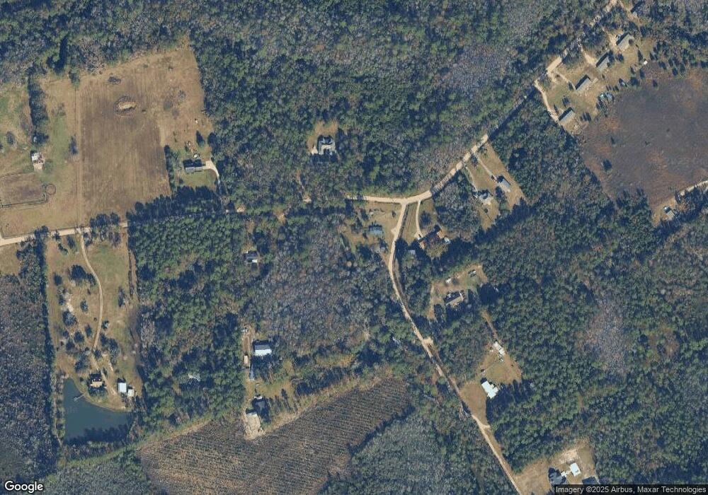
25 McDonald Dr Hinesville, GA 31313
Estimated Value: $178,000 - $185,000
3
Beds
1
Bath
1,438
Sq Ft
$127/Sq Ft
Est. Value
About This Home
This home is located at 25 McDonald Dr, Hinesville, GA 31313 and is currently estimated at $182,442, approximately $126 per square foot. 25 McDonald Dr is a home located in Liberty County with nearby schools including Taylors Creek Elementary School, Lewis Frasier Middle School, and Bradwell Institute.
Ownership History
Date
Name
Owned For
Owner Type
Purchase Details
Closed on
Aug 22, 2016
Sold by
Vick Stanley G
Bought by
Colna Christopher M
Current Estimated Value
Home Financials for this Owner
Home Financials are based on the most recent Mortgage that was taken out on this home.
Original Mortgage
$81,720
Outstanding Balance
$65,098
Interest Rate
3.43%
Estimated Equity
$117,344
Purchase Details
Closed on
Sep 10, 2004
Sold by
Mixon Theodessa
Bought by
Vick Stanley G
Purchase Details
Closed on
Feb 15, 2002
Sold by
Mixon Michael C
Bought by
Mixon Theodessa
Purchase Details
Closed on
Oct 19, 1982
Bought by
Mixon Michael C and Mixon Sandra M
Create a Home Valuation Report for This Property
The Home Valuation Report is an in-depth analysis detailing your home's value as well as a comparison with similar homes in the area
Home Values in the Area
Average Home Value in this Area
Purchase History
| Date | Buyer | Sale Price | Title Company |
|---|---|---|---|
| Colna Christopher M | $80,000 | -- | |
| Vick Stanley G | $58,000 | -- | |
| Mixon Theodessa | $40,000 | -- | |
| Mixon Michael C | -- | -- | |
| Mixon Michael C | -- | -- |
Source: Public Records
Mortgage History
| Date | Status | Borrower | Loan Amount |
|---|---|---|---|
| Open | Colna Christopher M | $81,720 |
Source: Public Records
Tax History Compared to Growth
Tax History
| Year | Tax Paid | Tax Assessment Tax Assessment Total Assessment is a certain percentage of the fair market value that is determined by local assessors to be the total taxable value of land and additions on the property. | Land | Improvement |
|---|---|---|---|---|
| 2024 | $1,664 | $35,960 | $4,092 | $31,868 |
| 2023 | $1,664 | $32,583 | $4,092 | $28,491 |
| 2022 | $1,218 | $27,119 | $4,092 | $23,027 |
| 2021 | $1,125 | $24,796 | $4,092 | $20,704 |
| 2020 | $1,133 | $25,160 | $4,092 | $21,068 |
| 2019 | $1,121 | $25,525 | $4,092 | $21,433 |
| 2018 | $1,123 | $25,889 | $4,092 | $21,797 |
| 2017 | $865 | $26,254 | $4,092 | $22,162 |
| 2016 | $1,081 | $26,618 | $4,092 | $22,526 |
| 2015 | $1,150 | $25,986 | $3,460 | $22,526 |
| 2014 | $1,150 | $28,311 | $4,460 | $23,852 |
| 2013 | -- | $29,215 | $7,736 | $21,478 |
Source: Public Records
Map
Nearby Homes
- 401 Mary Todd Rd
- 372 Mary Todd Rd
- 128 McDonald Dr
- 322 Mary Todd Rd
- 488 Mary Todd Rd
- 488 Mary Todd Rd Unit n/a
- 0 Mary Todd Rd Unit 7343321
- 0 Mary Todd Rd Unit 10013369
- 0 Mary Todd Rd Unit 3147582
- 0 Mary Todd Rd Unit 8171483
- 298 Mary Todd Rd
- 115 McDonald Dr
- 130 McDonald Dr
- 473 Mary Todd Rd
- 565 Mary Todd Rd
- 254 McDonald Dr
- 000 Mary Todd Rd
- 218 Mary Todd Rd
- 159 Wedincamp Dr
- 159 Wedincamp Rd
