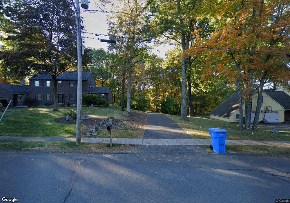
25 Mcintosh Dr Bristol, CT 06010
North Bristol NeighborhoodEstimated Value: $472,000 - $525,000
3
Beds
3
Baths
2,258
Sq Ft
$224/Sq Ft
Est. Value
About This Home
This home is located at 25 Mcintosh Dr, Bristol, CT 06010 and is currently estimated at $504,997, approximately $223 per square foot. 25 Mcintosh Dr is a home located in Hartford County with nearby schools including West Bristol Sch, Bristol Central High School, and St. Joseph School.
Ownership History
Date
Name
Owned For
Owner Type
Purchase Details
Closed on
Jul 31, 1996
Sold by
Letourneau Bldg Corp
Bought by
Caron Gerard and Caron Laura
Current Estimated Value
Create a Home Valuation Report for This Property
The Home Valuation Report is an in-depth analysis detailing your home's value as well as a comparison with similar homes in the area
Home Values in the Area
Average Home Value in this Area
Purchase History
| Date | Buyer | Sale Price | Title Company |
|---|---|---|---|
| Caron Gerard | $158,000 | -- |
Source: Public Records
Mortgage History
| Date | Status | Borrower | Loan Amount |
|---|---|---|---|
| Closed | Caron Gerard | $40,000 | |
| Closed | Caron Gerard | $178,000 | |
| Closed | Caron Gerard | $170,000 |
Source: Public Records
Tax History
| Year | Tax Paid | Tax Assessment Tax Assessment Total Assessment is a certain percentage of the fair market value that is determined by local assessors to be the total taxable value of land and additions on the property. | Land | Improvement |
|---|---|---|---|---|
| 2025 | $9,294 | $275,380 | $62,090 | $213,290 |
| 2024 | $8,222 | $258,160 | $62,090 | $196,070 |
| 2023 | $7,835 | $258,160 | $62,090 | $196,070 |
| 2022 | $7,264 | $189,420 | $48,650 | $140,770 |
| 2021 | $7,264 | $189,420 | $48,650 | $140,770 |
| 2020 | $7,264 | $189,420 | $48,650 | $140,770 |
| 2019 | $7,207 | $189,420 | $48,650 | $140,770 |
| 2018 | $6,986 | $189,420 | $48,650 | $140,770 |
| 2017 | $6,721 | $186,550 | $66,430 | $120,120 |
| 2016 | $6,721 | $186,550 | $66,430 | $120,120 |
| 2015 | $6,456 | $186,550 | $66,430 | $120,120 |
| 2014 | $6,456 | $186,550 | $66,430 | $120,120 |
Source: Public Records
Map
Nearby Homes
- 0 Hart St Unit 170255530
- 62 (Lot 13-1) James P Casey Rd
- 38 Eastwood Rd
- 83 Lardner Rd
- 35 Lardner Rd
- 380 Burlington Ave
- 454 Maple Ave
- 209 Ashley Rd
- 19 Woodside Way
- 354 Maple Ave
- 439 James P Casey Rd
- 35 James P Casey Rd
- 40 Matthews St Unit 30
- 0 Fairlawn St
- 22 Ingraham St
- 1 Hickory St
- 4 Southdown Dr
- 1252 Burlington Ave
- 172 North St
- 135 Jerome Ave
- 203 Baldwin Dr
- 185 Baldwin Dr
- 8 Quince Ct
- 200 Baldwin Dr
- 82 Berkshire Dr
- 106 Berkshire Dr
- 68 Berkshire Dr
- 17 Mcintosh Dr
- 35 Mcintosh Dr
- 60 Berkshire Dr
- 118 Berkshire Dr
- 224 Baldwin Dr
- 77 Berkshire Dr
- 67 Berkshire Dr
- 57 Mcintosh Dr
- 36 Woodcrest Dr
- 37 Woodcrest Dr
- 26 Mcintosh Dr
- 36 Mcintosh Dr
- 239 Baldwin Dr
Your Personal Tour Guide
Ask me questions while you tour the home.