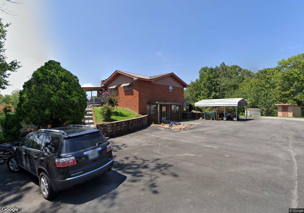
25 Memory Ln Chatsworth, GA 30705
Estimated Value: $219,554 - $235,000
Studio
3
Baths
1,350
Sq Ft
$168/Sq Ft
Est. Value
About This Home
This home is located at 25 Memory Ln, Chatsworth, GA 30705 and is currently estimated at $226,889, approximately $168 per square foot. 25 Memory Ln is a home located in Murray County with nearby schools including Coker Elementary School, Gladden Middle School, and Murray County High School.
Ownership History
Date
Name
Owned For
Owner Type
Purchase Details
Closed on
Sep 23, 2025
Sold by
Jones Mike Doyal
Bought by
Jones Mike Doyal and Painter Jason Henry
Current Estimated Value
Purchase Details
Closed on
May 4, 2023
Sold by
Jones Bobby Lee
Bought by
Jones Mike
Home Financials for this Owner
Home Financials are based on the most recent Mortgage that was taken out on this home.
Original Mortgage
$120,500
Interest Rate
6.28%
Mortgage Type
New Conventional
Purchase Details
Closed on
Oct 30, 2015
Sold by
Jones Edward Doyal
Bought by
Patterson Tammy Kay
Create a Home Valuation Report for This Property
The Home Valuation Report is an in-depth analysis detailing your home's value as well as a comparison with similar homes in the area
Home Values in the Area
Average Home Value in this Area
Purchase History
| Date | Buyer | Sale Price | Title Company |
|---|---|---|---|
| Jones Mike Doyal | -- | -- | |
| Jones Mike | -- | -- | |
| Jones Mike | $184,000 | -- | |
| Patterson Tammy Kay | -- | -- |
Source: Public Records
Mortgage History
| Date | Status | Borrower | Loan Amount |
|---|---|---|---|
| Previous Owner | Jones Mike | $120,500 |
Source: Public Records
Tax History
| Year | Tax Paid | Tax Assessment Tax Assessment Total Assessment is a certain percentage of the fair market value that is determined by local assessors to be the total taxable value of land and additions on the property. | Land | Improvement |
|---|---|---|---|---|
| 2025 | $1,745 | $74,400 | $4,880 | $69,520 |
| 2024 | $1,744 | $74,160 | $4,880 | $69,280 |
| 2023 | $1,766 | $73,600 | $4,880 | $68,720 |
| 2022 | $1,864 | $77,680 | $4,640 | $73,040 |
| 2021 | $1,568 | $63,480 | $3,320 | $60,160 |
| 2020 | $1,398 | $56,600 | $3,160 | $53,440 |
| 2019 | $1,398 | $56,600 | $3,160 | $53,440 |
| 2018 | $0 | $56,600 | $3,160 | $53,440 |
| 2017 | $0 | $51,240 | $3,160 | $48,080 |
| 2016 | $245 | $46,000 | $7,920 | $38,080 |
| 2015 | -- | $47,804 | $9,280 | $38,524 |
| 2014 | -- | $47,804 | $9,280 | $38,524 |
| 2013 | -- | $47,804 | $9,280 | $38,524 |
Source: Public Records
Map
Nearby Homes
- 160 Hennon Way
- 146 Hennon Way
- 130 Hennon Way
- 0 Wilson Rd Unit 25369335
- 118 Hennon Way
- 108 Hennon Way
- 74 Wilson Rd
- 100 Hennon Way
- 86 Wilson Rd
- 80 Hennon Way
- 106 Wilson Rd
- 120 Wilson Rd
- 132 Wilson Rd
- 553 Cherokee Ln
- 111 Long Dr
- 456 Cherokee Ln
- 100 Woodlake Dr
- 132 Katie Ln
- 37 Leonard Bridge Rd
- 0 Katie Ln
- 1287 Smyrna Church Rd
- 64 Memory Ln
- 35 Memory Ln
- 1259 Smyrna Church Rd
- 118 Jones Rd
- 99 Jones Rd
- 1324 Smyrna Church Rd
- 1421 Smyrna Church Rd
- 1254 Smyrna Church Rd
- 1219 Smyrna Church Rd
- 1487 Smyrna Church Rd
- 155 Jones Rd
- 1230 Smyrna Church Rd
- 1193 Smyrna Church Rd
- 120 Lick Branch Rd
- 1196 Smyrna Church Rd
- 233 Jones Rd
- 1486 Smyrna Church Rd
- 91 Lick Branch Rd
- 1509 Smyrna Church Rd
Your Personal Tour Guide
Ask me questions while you tour the home.