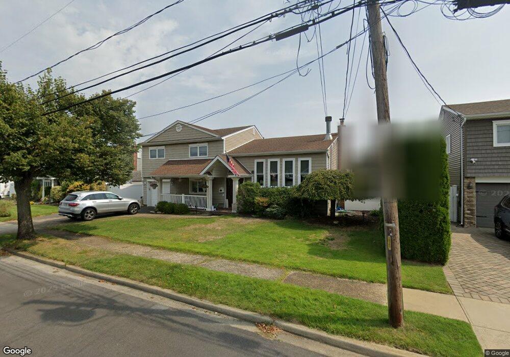
25 Merritt Ave Massapequa, NY 11758
Estimated Value: $788,000 - $852,086
--
Bed
2
Baths
1,623
Sq Ft
$505/Sq Ft
Est. Value
About This Home
This home is located at 25 Merritt Ave, Massapequa, NY 11758 and is currently estimated at $820,043, approximately $505 per square foot. 25 Merritt Ave is a home located in Nassau County with nearby schools including Massapequa High School - Ames Campus, Berner Middle School, and Massapequa High School.
Ownership History
Date
Name
Owned For
Owner Type
Purchase Details
Closed on
Sep 26, 2011
Sold by
Mavroudis Thomas and Mavroudis Suzanne
Bought by
Santarelli Livio and Santarelli Linda
Current Estimated Value
Home Financials for this Owner
Home Financials are based on the most recent Mortgage that was taken out on this home.
Original Mortgage
$310,000
Outstanding Balance
$211,941
Interest Rate
4.15%
Mortgage Type
Purchase Money Mortgage
Estimated Equity
$608,102
Create a Home Valuation Report for This Property
The Home Valuation Report is an in-depth analysis detailing your home's value as well as a comparison with similar homes in the area
Home Values in the Area
Average Home Value in this Area
Purchase History
| Date | Buyer | Sale Price | Title Company |
|---|---|---|---|
| Santarelli Livio | $590,000 | -- |
Source: Public Records
Mortgage History
| Date | Status | Borrower | Loan Amount |
|---|---|---|---|
| Open | Santarelli Livio | $310,000 |
Source: Public Records
Tax History Compared to Growth
Tax History
| Year | Tax Paid | Tax Assessment Tax Assessment Total Assessment is a certain percentage of the fair market value that is determined by local assessors to be the total taxable value of land and additions on the property. | Land | Improvement |
|---|---|---|---|---|
| 2025 | $14,369 | $538 | $193 | $345 |
| 2024 | $4,615 | $558 | $201 | $357 |
| 2023 | $13,911 | $600 | $215 | $385 |
| 2022 | $13,911 | $584 | $210 | $374 |
| 2021 | $12,438 | $612 | $212 | $400 |
| 2020 | $13,065 | $780 | $613 | $167 |
| 2019 | $12,549 | $836 | $487 | $349 |
| 2018 | $12,497 | $1,127 | $0 | $0 |
| 2017 | $9,109 | $1,064 | $657 | $407 |
| 2016 | $14,285 | $1,064 | $657 | $407 |
| 2015 | $4,645 | $1,064 | $628 | $436 |
| 2014 | $4,645 | $1,064 | $628 | $436 |
| 2013 | $4,205 | $1,059 | $627 | $432 |
Source: Public Records
Map
Nearby Homes
- 80 Ocean Ave
- 33 W End Ave
- 40 Bayview Place
- 66 Marie Place
- 41 Bayview Place
- 75 Forest Ave
- 94 Forest Ave
- 74 Forest Ave
- 2 Adam Rd W
- 153 Biltmore Blvd
- 344 Harrison Ave
- 6 Fairview Rd W
- 138 Saint Marks Place
- 65 Jefferson Place
- 22 Fairview Rd W
- 230 W End Ave
- 135 Ocean Ave
- 50 Brockmeyer Dr
- 94 Alhambra Rd
- 5 Canal Rd