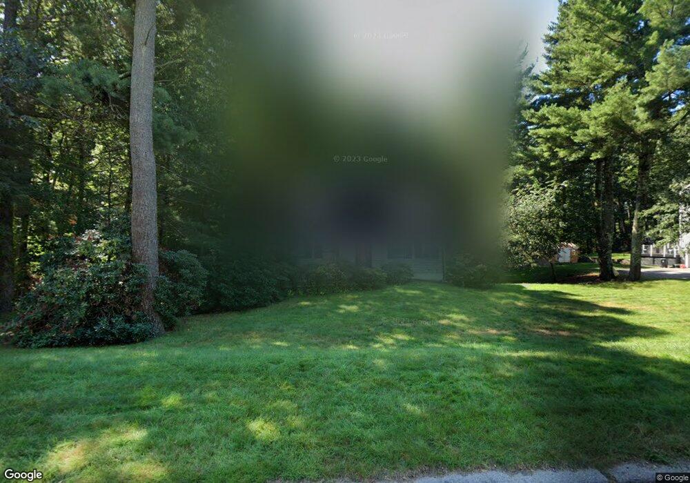
25 Metacomet St Wrentham, MA 02093
Estimated Value: $627,000 - $757,000
3
Beds
2
Baths
1,728
Sq Ft
$400/Sq Ft
Est. Value
About This Home
This home is located at 25 Metacomet St, Wrentham, MA 02093 and is currently estimated at $691,452, approximately $400 per square foot. 25 Metacomet St is a home located in Norfolk County with nearby schools including Delaney Elementary School and Charles E Roderick.
Ownership History
Date
Name
Owned For
Owner Type
Purchase Details
Closed on
Mar 27, 2025
Sold by
Quartarone Kathleen A
Bought by
Quartarone Kathleen A and Arsenault Joseph A
Current Estimated Value
Purchase Details
Closed on
Jan 25, 1984
Bought by
Quartarone Guy P and Quartarone Kathleen A
Create a Home Valuation Report for This Property
The Home Valuation Report is an in-depth analysis detailing your home's value as well as a comparison with similar homes in the area
Purchase History
| Date | Buyer | Sale Price | Title Company |
|---|---|---|---|
| Quartarone Kathleen A | -- | None Available | |
| Quartarone Kathleen A | -- | None Available | |
| Quartarone Guy P | -- | -- |
Source: Public Records
Mortgage History
| Date | Status | Borrower | Loan Amount |
|---|---|---|---|
| Previous Owner | Quartarone Guy P | $19,000 | |
| Previous Owner | Quartarone Guy P | $142,500 | |
| Previous Owner | Quartarone Guy P | $124,800 | |
| Previous Owner | Quartarone Guy P | $15,750 |
Source: Public Records
Tax History
| Year | Tax Paid | Tax Assessment Tax Assessment Total Assessment is a certain percentage of the fair market value that is determined by local assessors to be the total taxable value of land and additions on the property. | Land | Improvement |
|---|---|---|---|---|
| 2025 | $6,499 | $560,700 | $314,300 | $246,400 |
| 2024 | $6,269 | $522,400 | $314,300 | $208,100 |
| 2023 | $6,171 | $489,000 | $285,800 | $203,200 |
| 2022 | $5,729 | $419,100 | $245,300 | $173,800 |
| 2021 | $6,030 | $428,600 | $257,800 | $170,800 |
| 2020 | $5,139 | $360,600 | $182,500 | $178,100 |
| 2019 | $5,203 | $368,500 | $190,400 | $178,100 |
| 2018 | $4,943 | $347,100 | $190,600 | $156,500 |
| 2017 | $4,684 | $328,700 | $186,900 | $141,800 |
| 2016 | $4,494 | $314,700 | $181,500 | $133,200 |
| 2015 | $4,367 | $291,500 | $174,500 | $117,000 |
| 2014 | $4,316 | $281,900 | $167,800 | $114,100 |
Source: Public Records
Map
Nearby Homes
- 500 Franklin St
- 135 Creek St Unit 2
- 2 Earle Stewart Ln
- 12 Earle Stewart Ln
- 3 Earle Stewart Ln
- 10 Earle Stewart Ln Unit Lot 5
- 10 Nature View Dr
- 15 Nature View Dr
- 50 Reed Fulton Ave Unit Lot 61
- 45 Joshua Rd
- 18 Northern Spy Rd
- 246 Forest Grove Ave
- 75 Jordan Rd
- 3 Oak View Terrace Unit 3
- 9 Elliot Mills Unit 5
- 8 Elliot Mills Unit 30
- 5 Elliot Mills Unit 3
- 7 Elliot Mills Unit 4
- 10 Elliot Mills Unit 29
- 14 Waites Crossing
- 15 Metacomet St
- 35 Metacomet St
- 60 Gilmore Rd
- 30 Metacomet St
- 20 Metacomet St
- 5 Metacomet St
- 45 Metacomet St
- 40 Metacomet St
- 50 Gilmore Rd
- 10 Metacomet St
- 40 Gilmore Rd
- 40 Gilmore Rd Unit B right sid
- 50 Metacomet St
- 55 Metacomet St
- 325 Creek St
- 1 Metacomet St
- 317 Creek St
- 315 Creek St
- 315 Creek St Unit 315
- 55 Gilmore Rd
Your Personal Tour Guide
Ask me questions while you tour the home.