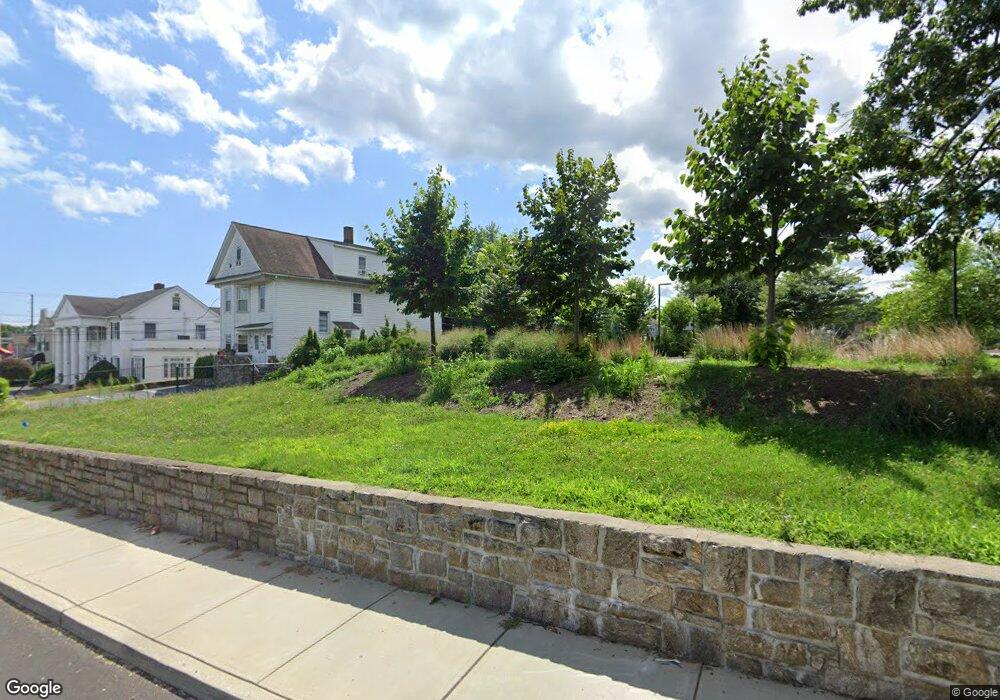
25 N Parade St Unit ST Stratford, CT 06615
Stratford Center Historic District NeighborhoodEstimated Value: $375,159
--
Bed
--
Bath
2,120
Sq Ft
$177/Sq Ft
Est. Value
About This Home
This home is located at 25 N Parade St Unit ST, Stratford, CT 06615 and is currently estimated at $375,159, approximately $176 per square foot. 25 N Parade St Unit ST is a home located in Fairfield County with nearby schools including Stratford Academy - Johnson House, David Wooster Middle School, and Stratford High School.
Ownership History
Date
Name
Owned For
Owner Type
Purchase Details
Closed on
Apr 9, 2015
Sold by
25 North Parade Llc
Bought by
Stratford Town Of
Current Estimated Value
Purchase Details
Closed on
Nov 8, 2007
Sold by
Tober Elizabeth and Hetten Ronald
Bought by
25 North Parade Llc
Create a Home Valuation Report for This Property
The Home Valuation Report is an in-depth analysis detailing your home's value as well as a comparison with similar homes in the area
Home Values in the Area
Average Home Value in this Area
Purchase History
| Date | Buyer | Sale Price | Title Company |
|---|---|---|---|
| Stratford Town Of | $245,000 | -- | |
| 25 North Parade Llc | $237,500 | -- |
Source: Public Records
Mortgage History
| Date | Status | Borrower | Loan Amount |
|---|---|---|---|
| Previous Owner | 25 North Parade Llc | $208,000 |
Source: Public Records
Tax History Compared to Growth
Tax History
| Year | Tax Paid | Tax Assessment Tax Assessment Total Assessment is a certain percentage of the fair market value that is determined by local assessors to be the total taxable value of land and additions on the property. | Land | Improvement |
|---|---|---|---|---|
| 2025 | $0 | $134,750 | $134,750 | $0 |
| 2024 | -- | $134,750 | $134,750 | $0 |
| 2023 | $0 | $134,750 | $134,750 | $0 |
| 2022 | $0 | $134,750 | $134,750 | $0 |
| 2021 | $0 | $134,750 | $134,750 | $0 |
| 2020 | $0 | $134,750 | $134,750 | $0 |
| 2019 | $0 | $122,500 | $122,500 | $0 |
| 2018 | $0 | $122,500 | $122,500 | $0 |
| 2017 | $0 | $153,090 | $57,820 | $95,270 |
| 2016 | -- | $153,090 | $57,820 | $95,270 |
| 2015 | -- | $153,090 | $57,820 | $95,270 |
| 2014 | $5,821 | $163,380 | $52,570 | $110,810 |
Source: Public Records
Map
Nearby Homes
- 204 California St
- 40 California St Unit B9
- 156 Blakeman Place
- 258 Booth St
- 15 Johnson Ave
- 581 California St
- 58 Academy Hill Terrace
- 1700 Broadbridge Ave Unit B17
- 1700 Broadbridge Ave Unit A16
- 54 Vernon St
- 125 Wood Ave
- 148 Hurd Ave
- 196 Oakland St
- 30 Winfield Dr
- 140 Spring St
- 1867 Main St
- 1867 Broadbridge Ave
- 114 Terrill Rd
- 39 Woodcrest Ave
- 753 Stratford Ave
- 25 N Parade St
- 2643 Main St
- 6 Selleck Place
- 22 Selleck Place
- 7 Southard Ct
- 9 Southard Ct
- 15 Selleck Place
- 28 Selleck Place
- 2595 Main St
- 34 Selleck Place
- 2580 Main St Unit C10
- 2580 Main St Unit A11
- 2580 Main St Unit A4
- 2580 Main St Unit A9
- 2580 Main St Unit A10
- 2580 Main St Unit B7
- 2580 Main St Unit A15
- 2580 Main St Unit A5
- 2580 Main St Unit B15
- 2580 Main St Unit B17