25 Niles St Stafford, VA 22556
Mountain View NeighborhoodEstimated Value: $1,015,260 - $1,145,000
4
Beds
5
Baths
4,384
Sq Ft
$247/Sq Ft
Est. Value
About This Home
This home is located at 25 Niles St, Stafford, VA 22556 and is currently estimated at $1,080,753, approximately $246 per square foot. 25 Niles St is a home located in Stafford County with nearby schools including Margaret Brent Elementary School, Rodney E. Thompson Middle School, and Mountain View High School.
Ownership History
Date
Name
Owned For
Owner Type
Purchase Details
Closed on
Sep 26, 2012
Sold by
The Drees Company
Bought by
Williams Arun
Current Estimated Value
Home Financials for this Owner
Home Financials are based on the most recent Mortgage that was taken out on this home.
Original Mortgage
$543,349
Outstanding Balance
$378,196
Interest Rate
3.62%
Mortgage Type
New Conventional
Estimated Equity
$702,557
Purchase Details
Closed on
May 30, 2012
Sold by
Poplar Road Seven Lakes Est
Bought by
The Drees Company
Create a Home Valuation Report for This Property
The Home Valuation Report is an in-depth analysis detailing your home's value as well as a comparison with similar homes in the area
Home Values in the Area
Average Home Value in this Area
Purchase History
| Date | Buyer | Sale Price | Title Company |
|---|---|---|---|
| Williams Arun | $679,187 | -- | |
| The Drees Company | $140,000 | -- |
Source: Public Records
Mortgage History
| Date | Status | Borrower | Loan Amount |
|---|---|---|---|
| Open | Williams Arun | $543,349 |
Source: Public Records
Tax History Compared to Growth
Tax History
| Year | Tax Paid | Tax Assessment Tax Assessment Total Assessment is a certain percentage of the fair market value that is determined by local assessors to be the total taxable value of land and additions on the property. | Land | Improvement |
|---|---|---|---|---|
| 2025 | $8,339 | $919,700 | $210,000 | $709,700 |
| 2024 | $8,339 | $919,700 | $210,000 | $709,700 |
| 2023 | $7,945 | $840,700 | $175,000 | $665,700 |
| 2022 | $7,146 | $840,700 | $175,000 | $665,700 |
| 2021 | $6,537 | $673,900 | $130,000 | $543,900 |
| 2020 | $6,537 | $673,900 | $130,000 | $543,900 |
| 2019 | $6,585 | $652,000 | $130,000 | $522,000 |
| 2018 | $6,455 | $652,000 | $130,000 | $522,000 |
| 2017 | $6,105 | $616,700 | $130,000 | $486,700 |
| 2016 | $6,105 | $616,700 | $130,000 | $486,700 |
| 2015 | -- | $601,500 | $130,000 | $471,500 |
| 2014 | -- | $601,500 | $130,000 | $471,500 |
Source: Public Records
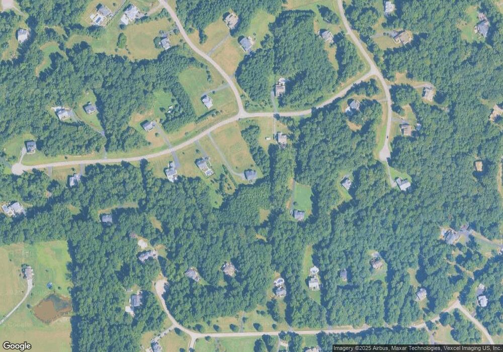
Map
Nearby Homes
- Bridgewater Plan at Hampstead
- Torrey Plan at Hampstead
- Lewis Plan at Hampstead
- Finley Plan at Hampstead
- Carson Plan at Hampstead
- Amberly Plan at Hampstead
- 0 Hampstead Farm Ln
- 11 Citation Ct
- 14 Cranston Ln
- 260 Chriswood Ln
- 132 Donovan Ln
- 24 Ruffian Dr
- 13 Carter Ln
- 265 Poplar Manor Ave
- 1057 Poplar Rd
- 3 Tolson Ln
- 60 Snapdragon Dr
- 51 Maidenhair Way
- 304 Montpelier Dr
- 0 Poplar Rd Unit VAST2042368