25 Perry Ln West Dennis, MA 02670
West Dennis NeighborhoodEstimated Value: $854,107 - $998,000
5
Beds
1
Bath
1,801
Sq Ft
$514/Sq Ft
Est. Value
About This Home
This home is located at 25 Perry Ln, West Dennis, MA 02670 and is currently estimated at $925,527, approximately $513 per square foot. 25 Perry Ln is a home located in Barnstable County with nearby schools including Dennis-Yarmouth Regional High School and St. Pius X. School.
Ownership History
Date
Name
Owned For
Owner Type
Purchase Details
Closed on
Mar 12, 2018
Sold by
Larkin Peter G and Larkin Catherine M
Bought by
Larkin Peter G
Current Estimated Value
Purchase Details
Closed on
May 30, 2014
Sold by
Larkin Peter G
Bought by
Larkin Peter G and Larkin Catherine M
Purchase Details
Closed on
Aug 29, 2002
Sold by
Alden Robert T
Bought by
Larkin Peter G
Home Financials for this Owner
Home Financials are based on the most recent Mortgage that was taken out on this home.
Original Mortgage
$292,500
Interest Rate
6.55%
Mortgage Type
Purchase Money Mortgage
Create a Home Valuation Report for This Property
The Home Valuation Report is an in-depth analysis detailing your home's value as well as a comparison with similar homes in the area
Home Values in the Area
Average Home Value in this Area
Purchase History
| Date | Buyer | Sale Price | Title Company |
|---|---|---|---|
| Larkin Peter G | -- | -- | |
| Larkin Peter G | -- | -- | |
| Larkin Peter G | $325,000 | -- |
Source: Public Records
Mortgage History
| Date | Status | Borrower | Loan Amount |
|---|---|---|---|
| Previous Owner | Larkin Peter G | $292,500 |
Source: Public Records
Tax History Compared to Growth
Tax History
| Year | Tax Paid | Tax Assessment Tax Assessment Total Assessment is a certain percentage of the fair market value that is determined by local assessors to be the total taxable value of land and additions on the property. | Land | Improvement |
|---|---|---|---|---|
| 2025 | $3,246 | $749,700 | $270,400 | $479,300 |
| 2024 | $3,130 | $713,000 | $260,000 | $453,000 |
| 2023 | $3,035 | $649,900 | $236,400 | $413,500 |
| 2022 | $2,983 | $532,700 | $212,900 | $319,800 |
| 2021 | $3,148 | $522,000 | $208,800 | $313,200 |
| 2020 | $3,165 | $518,900 | $208,800 | $310,100 |
| 2019 | $3,226 | $522,800 | $204,700 | $318,100 |
| 2018 | $2,779 | $438,400 | $159,400 | $279,000 |
| 2017 | $2,748 | $446,900 | $159,400 | $287,500 |
| 2016 | $2,864 | $438,600 | $194,800 | $243,800 |
| 2015 | $2,807 | $438,600 | $194,800 | $243,800 |
| 2014 | $2,875 | $452,700 | $194,800 | $257,900 |
Source: Public Records
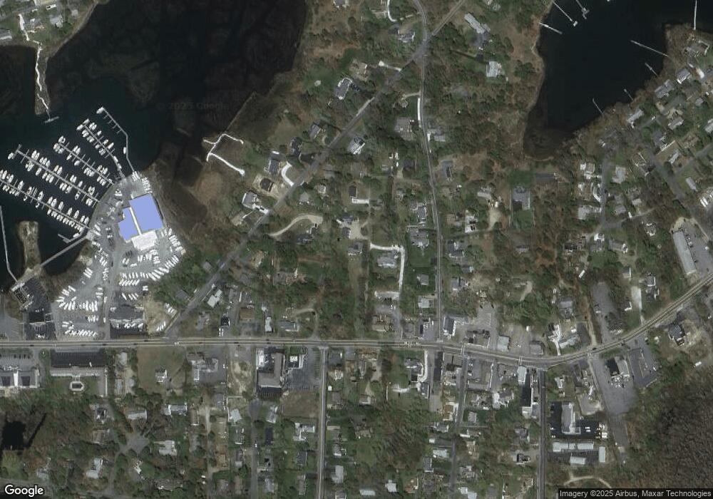
Map
Nearby Homes
- 209 Main St Unit 3
- 209 Main St Unit 6
- 209 Main St Unit 1
- 209 Main St Unit 2
- 209 Main St Unit 4
- 209 Main St Unit 5
- 23 Doric Ave
- 14 Schoolhouse Ln
- 401 Main St Unit 201
- 401 Main St Unit 101
- 428 Main St Unit 1-11
- 467 Main St
- 178 School St
- 45 Seth Ln
- 40 Kelley Rd
- 29 Bass River Rd
- 2 Rita Mary Way
- 18 Turner Ln
- 308 Old Main St
- 61 Trotters Ln