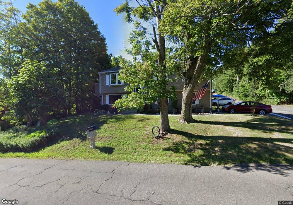
25 Porter Ave Naugatuck, CT 06770
Estimated Value: $344,000 - $386,000
3
Beds
2
Baths
1,304
Sq Ft
$276/Sq Ft
Est. Value
About This Home
This home is located at 25 Porter Ave, Naugatuck, CT 06770 and is currently estimated at $359,518, approximately $275 per square foot. 25 Porter Ave is a home located in New Haven County with nearby schools including City Hill Middle School, Naugatuck High School, and Our Lady Of Mount Carmel School.
Ownership History
Date
Name
Owned For
Owner Type
Purchase Details
Closed on
May 22, 2017
Sold by
Notar John
Bought by
Notar John
Current Estimated Value
Purchase Details
Closed on
Jun 23, 1992
Sold by
Dime Svg Bk Ny
Bought by
Notar John
Purchase Details
Closed on
Sep 23, 1988
Sold by
Bayberry Assoc Inc
Bought by
Siggars Dorene
Create a Home Valuation Report for This Property
The Home Valuation Report is an in-depth analysis detailing your home's value as well as a comparison with similar homes in the area
Home Values in the Area
Average Home Value in this Area
Purchase History
| Date | Buyer | Sale Price | Title Company |
|---|---|---|---|
| Notar John | -- | -- | |
| Notar John | $115,000 | -- | |
| Siggars Dorene | $166,000 | -- |
Source: Public Records
Mortgage History
| Date | Status | Borrower | Loan Amount |
|---|---|---|---|
| Open | Siggars Dorene | $155,677 | |
| Previous Owner | Siggars Dorene | $104,802 | |
| Previous Owner | Siggars Dorene | $50,000 |
Source: Public Records
Tax History Compared to Growth
Tax History
| Year | Tax Paid | Tax Assessment Tax Assessment Total Assessment is a certain percentage of the fair market value that is determined by local assessors to be the total taxable value of land and additions on the property. | Land | Improvement |
|---|---|---|---|---|
| 2025 | $7,687 | $193,200 | $30,800 | $162,400 |
| 2024 | $8,074 | $193,200 | $30,800 | $162,400 |
| 2023 | $8,646 | $193,200 | $30,800 | $162,400 |
| 2022 | $6,967 | $145,900 | $33,170 | $112,730 |
| 2021 | $6,967 | $145,900 | $33,170 | $112,730 |
| 2020 | $6,967 | $145,900 | $33,170 | $112,730 |
| 2019 | $6,894 | $145,900 | $33,170 | $112,730 |
| 2018 | $6,381 | $131,970 | $39,910 | $92,060 |
| 2017 | $6,407 | $131,970 | $39,910 | $92,060 |
| 2016 | $6,291 | $131,970 | $39,910 | $92,060 |
| 2015 | $6,014 | $131,970 | $39,910 | $92,060 |
| 2014 | $5,947 | $131,970 | $39,910 | $92,060 |
| 2012 | $5,874 | $175,070 | $50,390 | $124,680 |
Source: Public Records
Map
Nearby Homes
- 55 Porter Ave Unit 4A
- 136 High Ridge Rd
- 33 Gaby Ln Unit 33
- 0 Field St Unit 170385250
- 29 Gaby Ln
- 31 Gaby Ln
- 111 Mallane Ln Unit 19A
- 53 Mill St
- 65 Nancy Ln
- 66 Nancy Ln
- 69 Nancy Ln
- 92A Thunderbird Dr
- 461 Spring St Unit 6A
- 461 Spring St Unit 3
- 48 & 50 Anderson St
- 32 Greenwood St
- 18 Bridge St Unit 1O
- 65 Round Tree Dr Unit 5
- 97 Ridge Rd Unit 2
- 63 New St