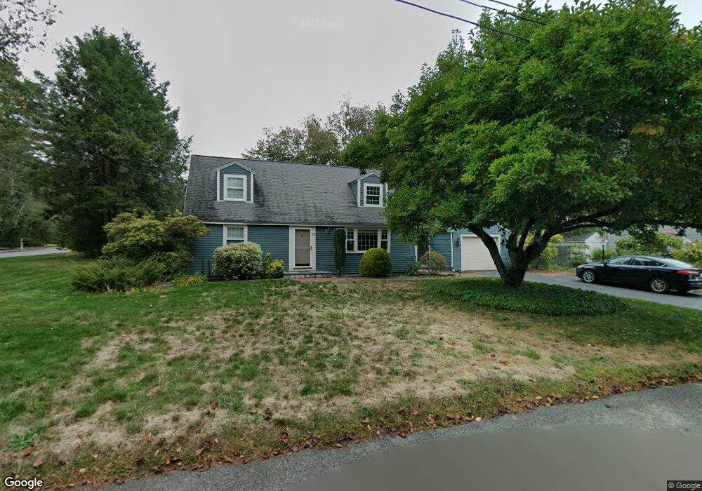
25 Postgate Rd South Hamilton, MA 01982
Estimated Value: $809,000 - $1,243,000
4
Beds
2
Baths
1,844
Sq Ft
$502/Sq Ft
Est. Value
About This Home
This home is located at 25 Postgate Rd, South Hamilton, MA 01982 and is currently estimated at $925,157, approximately $501 per square foot. 25 Postgate Rd is a home located in Essex County with nearby schools including Winthrop School, Cutler Elementary School, and Bessie Buker Elementary School.
Ownership History
Date
Name
Owned For
Owner Type
Purchase Details
Closed on
Aug 3, 1998
Sold by
Richardson E Bradley
Bought by
Jefferson Philip
Current Estimated Value
Home Financials for this Owner
Home Financials are based on the most recent Mortgage that was taken out on this home.
Original Mortgage
$227,100
Interest Rate
6.92%
Mortgage Type
Purchase Money Mortgage
Purchase Details
Closed on
May 19, 1995
Sold by
Rapp Joan
Bought by
Richardson Bradley
Home Financials for this Owner
Home Financials are based on the most recent Mortgage that was taken out on this home.
Original Mortgage
$202,950
Interest Rate
8.34%
Mortgage Type
Purchase Money Mortgage
Create a Home Valuation Report for This Property
The Home Valuation Report is an in-depth analysis detailing your home's value as well as a comparison with similar homes in the area
Home Values in the Area
Average Home Value in this Area
Purchase History
| Date | Buyer | Sale Price | Title Company |
|---|---|---|---|
| Jefferson Philip | $284,000 | -- | |
| Richardson Bradley | $225,500 | -- |
Source: Public Records
Mortgage History
| Date | Status | Borrower | Loan Amount |
|---|---|---|---|
| Open | Jefferson Philip | $227,000 | |
| Closed | Jefferson Philip | $227,100 | |
| Previous Owner | Richardson Bradley | $202,900 | |
| Previous Owner | Richardson Bradley | $202,950 |
Source: Public Records
Tax History
| Year | Tax Paid | Tax Assessment Tax Assessment Total Assessment is a certain percentage of the fair market value that is determined by local assessors to be the total taxable value of land and additions on the property. | Land | Improvement |
|---|---|---|---|---|
| 2025 | $10,991 | $702,300 | $325,600 | $376,700 |
| 2024 | $10,494 | $694,500 | $325,600 | $368,900 |
| 2023 | $9,923 | $607,300 | $291,300 | $316,000 |
| 2022 | $9,593 | $536,500 | $261,000 | $275,500 |
| 2021 | $9,273 | $529,600 | $261,000 | $268,600 |
| 2020 | $9,254 | $545,000 | $261,100 | $283,900 |
| 2019 | $8,779 | $532,700 | $253,300 | $279,400 |
| 2018 | $8,037 | $495,500 | $239,200 | $256,300 |
| 2017 | $7,823 | $465,400 | $223,600 | $241,800 |
| 2016 | $7,895 | $457,700 | $219,300 | $238,400 |
Source: Public Records
Map
Nearby Homes
- 32 Martel Rd
- 103 Essex St
- Zero Bridge Street Lot Eight
- 61 Beech St
- 575 Essex St
- 246 Echo Cove Rd
- 1 Junction Ln Unit 1
- 240 Larch Row
- 224 Echo Cove Rd
- 7 Charles Davis Dr
- 30 Autumn Ln
- 4 Shea Ct
- 7 Bridge St
- 5 Bridge St
- 4 Bridge St
- 8 Spring Hill Farm Rd
- 46 Plum St
- 11 Thaxton Rd
- 7 Windham Ln
- Lot 0 Meyer Ln
- 1 Taft Woods Row
- 2 Taft Woods Row
- 18 Postgate Rd
- 21 Postgate Rd
- 32 Postgate Rd
- 35 Postgate Rd
- 5 Taft Woods Row
- 17 Postgate Rd
- 10 Postgate Rd
- 11 Postgate Rd
- 39 Postgate Rd
- 6 Taft Woods Row
- 43 Postgate Rd
- 4 Postgate Rd
- 9 Taft Woods Row
- 1 Postgate Rd
- 20 Taft Woods Row
- 10 Taft Woods Row
- 37 Knowlton St
- 2 Postgate Rd
Your Personal Tour Guide
Ask me questions while you tour the home.