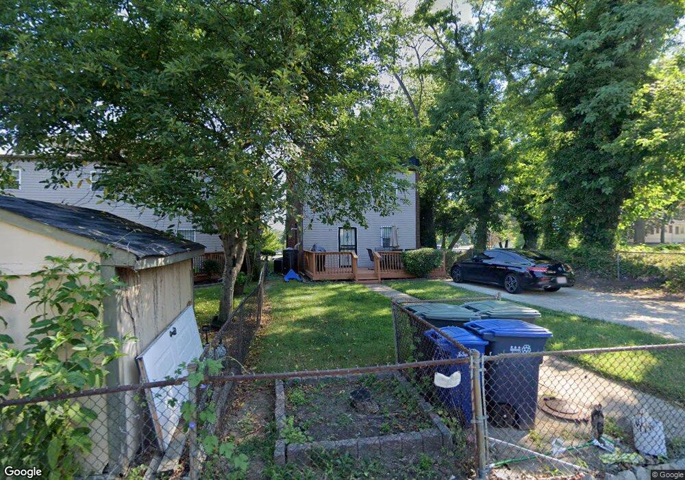
25 Randle Cir SE Washington, DC 20019
Twining NeighborhoodEstimated Value: $438,000 - $505,000
2
Beds
2
Baths
1,914
Sq Ft
$244/Sq Ft
Est. Value
About This Home
This home is located at 25 Randle Cir SE, Washington, DC 20019 and is currently estimated at $467,778, approximately $244 per square foot. 25 Randle Cir SE is a home located in District of Columbia with nearby schools including Randle Highlands Elementary School, Sousa Middle School, and Anacostia High School.
Ownership History
Date
Name
Owned For
Owner Type
Purchase Details
Closed on
Aug 15, 2007
Sold by
Retland David
Bought by
Retland David
Current Estimated Value
Home Financials for this Owner
Home Financials are based on the most recent Mortgage that was taken out on this home.
Original Mortgage
$150,000
Outstanding Balance
$94,924
Interest Rate
6.74%
Mortgage Type
New Conventional
Estimated Equity
$372,854
Purchase Details
Closed on
Oct 19, 2000
Sold by
Furbush Eloise
Bought by
Retland David
Create a Home Valuation Report for This Property
The Home Valuation Report is an in-depth analysis detailing your home's value as well as a comparison with similar homes in the area
Home Values in the Area
Average Home Value in this Area
Purchase History
| Date | Buyer | Sale Price | Title Company |
|---|---|---|---|
| Retland David | -- | -- | |
| Retland David | $8,500 | -- |
Source: Public Records
Mortgage History
| Date | Status | Borrower | Loan Amount |
|---|---|---|---|
| Open | Retland David | $150,000 |
Source: Public Records
Tax History Compared to Growth
Tax History
| Year | Tax Paid | Tax Assessment Tax Assessment Total Assessment is a certain percentage of the fair market value that is determined by local assessors to be the total taxable value of land and additions on the property. | Land | Improvement |
|---|---|---|---|---|
| 2025 | $4,207 | $494,900 | $183,890 | $311,010 |
| 2024 | $4,150 | $488,240 | $177,510 | $310,730 |
| 2023 | $4,016 | $472,480 | $170,720 | $301,760 |
| 2022 | $3,671 | $431,850 | $163,480 | $268,370 |
| 2021 | $3,533 | $415,620 | $161,070 | $254,550 |
| 2020 | $3,304 | $388,710 | $154,080 | $234,630 |
| 2019 | $3,161 | $371,900 | $146,710 | $225,190 |
| 2018 | $3,051 | $358,970 | $0 | $0 |
| 2017 | $2,724 | $320,500 | $0 | $0 |
| 2016 | $2,374 | $279,350 | $0 | $0 |
| 2015 | $2,270 | $267,010 | $0 | $0 |
| 2014 | $1,968 | $231,550 | $0 | $0 |
Source: Public Records
Map
Nearby Homes
- 1119 Branch Ave SE
- 3023 K St SE
- 3018 M Place SE
- 3320 M St SE
- 713 Croissant Place SE
- 715 31st St SE
- 1001 30th St SE
- 3127 G St SE
- 3115 G St SE
- 3005 Nelson Place SE
- 3208 Pope St SE
- 2933 M St SE
- 2843 Minnesota Ave SE
- 3409 Massachusetts Ave SE
- 2908 Nelson Place SE
- 3240 Pope St SE
- 3212 Highwood Dr SE
- 3117 E St SE
- 3209 E St SE
- 1341 29th St SE
- 26 Randle Cir SE
- 3124 Lyndale Place SE
- 3122 Lyndale Place SE
- 29 Randle Cir SE
- 3128 Lyndale Place SE
- 3118 Lyndale Place SE
- 3116 Lyndale Place SE
- 3130 Lyndale Place SE
- 3132 Lyndale Place SE
- 3117 Minnesota Ave SE
- 3117 Minnesota Avenue - S
- 3114 Lyndale Place SE
- 3136 Lyndale Place SE
- 3138 Lyndale Place SE
- 3140 Lyndale Place SE
- 3110 Lyndale Place SE
- 3108 Lyndale Place SE
- 3104 Lyndale Place SE
- 20 Randle Cir SE
- 3102 Lyndale Place SE