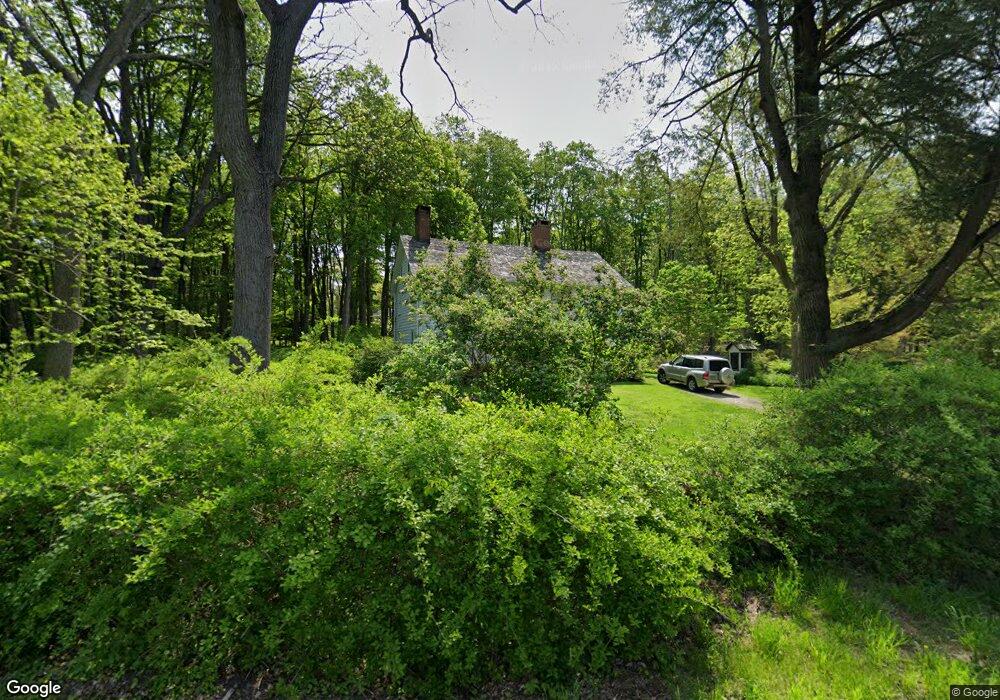
25 Redding Rd Easton, CT 06612
Estimated Value: $831,000 - $994,000
4
Beds
2
Baths
2,120
Sq Ft
$418/Sq Ft
Est. Value
About This Home
This home is located at 25 Redding Rd, Easton, CT 06612 and is currently estimated at $885,756, approximately $417 per square foot. 25 Redding Rd is a home located in Fairfield County with nearby schools including Samuel Staples Elementary School, Helen Keller Middle School, and Joel Barlow High School.
Ownership History
Date
Name
Owned For
Owner Type
Purchase Details
Closed on
Aug 28, 2008
Sold by
Sternau Thomas R Est
Bought by
Dolege Dennis D
Current Estimated Value
Home Financials for this Owner
Home Financials are based on the most recent Mortgage that was taken out on this home.
Original Mortgage
$637,500
Interest Rate
6.29%
Purchase Details
Closed on
Jul 25, 1991
Sold by
Rolan Mattson
Bought by
Hegnauer Patricia
Home Financials for this Owner
Home Financials are based on the most recent Mortgage that was taken out on this home.
Original Mortgage
$149,600
Interest Rate
9.58%
Mortgage Type
Purchase Money Mortgage
Create a Home Valuation Report for This Property
The Home Valuation Report is an in-depth analysis detailing your home's value as well as a comparison with similar homes in the area
Home Values in the Area
Average Home Value in this Area
Purchase History
| Date | Buyer | Sale Price | Title Company |
|---|---|---|---|
| Dolege Dennis D | $850,000 | -- | |
| Dolege Dennis D | $850,000 | -- | |
| Hegnauer Patricia | $187,000 | -- |
Source: Public Records
Mortgage History
| Date | Status | Borrower | Loan Amount |
|---|---|---|---|
| Open | Hegnauer Patricia | $660,000 | |
| Closed | Hegnauer Patricia | $637,500 | |
| Previous Owner | Hegnauer Patricia | $149,600 |
Source: Public Records
Tax History Compared to Growth
Tax History
| Year | Tax Paid | Tax Assessment Tax Assessment Total Assessment is a certain percentage of the fair market value that is determined by local assessors to be the total taxable value of land and additions on the property. | Land | Improvement |
|---|---|---|---|---|
| 2025 | $12,927 | $416,990 | $299,250 | $117,740 |
| 2024 | $12,318 | $416,990 | $299,250 | $117,740 |
| 2023 | $12,076 | $416,990 | $299,250 | $117,740 |
| 2022 | $11,859 | $416,990 | $299,250 | $117,740 |
| 2021 | $14,502 | $448,270 | $351,730 | $96,540 |
| 2020 | $13,896 | $448,270 | $351,730 | $96,540 |
| 2019 | $14,044 | $448,270 | $351,730 | $96,540 |
| 2018 | $14,067 | $448,270 | $351,730 | $96,540 |
| 2017 | $14,963 | $448,270 | $351,730 | $96,540 |
| 2016 | $13,834 | $449,020 | $359,340 | $89,680 |
| 2015 | $13,641 | $449,020 | $359,340 | $89,680 |
| 2014 | $13,426 | $449,020 | $359,340 | $89,680 |
Source: Public Records
Map
Nearby Homes
- 354 Black Rock Turnpike
- 18 Wells Hill Rd
- 90 Redding Rd
- 64 Old Redding Rd
- 3 Mayflower Ln
- 80 Norton Rd
- 8 Messex Ln
- 29 Old Stage Coach Rd
- 100 E Common Rd
- 111 & 115 Old Easton Turnpike
- 4 Colony Rd
- 85-95 Old Easton Turnpike
- 76 Burr St
- 191 Steep Hill Rd
- 198 Steep Hill Rd
- 100 Honeysuckle Hill Ln
- 2775 North St
- 262 Lyons Plain Rd
- 0 Old Easton Turnpike
- 260 Lyons Plain Rd
- 36 Redding Rd
- 20 Redding Rd
- 349 Black Rock Turnpike
- 363 Black Rock Turnpike
- 44 Redding Rd
- 339 Black Rock Turnpike
- 331 Black Rock Turnpike
- 327 Black Rock Turnpike
- 14 Wells Hill Rd
- 65 Redding Rd
- 311 Black Rock Turnpike
- 311 Black Rock Turnpike
- 385 Black Rock Turnpike
- 12 Wells Hill Rd
- 425 Black Rock Turnpike
- 20 Wells Hill Rd
- 30 Wells Hill Rd
- 70 Redding Rd
- 401 Black Rock Turnpike
- 420 Black Rock Turnpike