25 Riverside Dr Unit C5 Clinton, CT 06413
Estimated Value: $256,227 - $299,000
2
Beds
2
Baths
1,008
Sq Ft
$278/Sq Ft
Est. Value
About This Home
This home is located at 25 Riverside Dr Unit C5, Clinton, CT 06413 and is currently estimated at $280,057, approximately $277 per square foot. 25 Riverside Dr Unit C5 is a home located in Middlesex County with nearby schools including Lewin G. Joel Jr. School and The Morgan School.
Ownership History
Date
Name
Owned For
Owner Type
Purchase Details
Closed on
Oct 29, 2003
Sold by
Swaim John C
Bought by
Strott Samantha
Current Estimated Value
Home Financials for this Owner
Home Financials are based on the most recent Mortgage that was taken out on this home.
Original Mortgage
$158,200
Interest Rate
6.05%
Create a Home Valuation Report for This Property
The Home Valuation Report is an in-depth analysis detailing your home's value as well as a comparison with similar homes in the area
Home Values in the Area
Average Home Value in this Area
Purchase History
| Date | Buyer | Sale Price | Title Company |
|---|---|---|---|
| Strott Samantha | $176,000 | -- | |
| Strott Samantha | $176,000 | -- |
Source: Public Records
Mortgage History
| Date | Status | Borrower | Loan Amount |
|---|---|---|---|
| Open | Strott Samantha | $155,694 | |
| Closed | Strott Samantha | $158,200 |
Source: Public Records
Tax History Compared to Growth
Tax History
| Year | Tax Paid | Tax Assessment Tax Assessment Total Assessment is a certain percentage of the fair market value that is determined by local assessors to be the total taxable value of land and additions on the property. | Land | Improvement |
|---|---|---|---|---|
| 2025 | $3,310 | $106,300 | $0 | $106,300 |
| 2024 | $3,217 | $106,300 | $0 | $106,300 |
| 2023 | $3,171 | $106,300 | $0 | $106,300 |
| 2022 | $3,171 | $106,300 | $0 | $106,300 |
| 2021 | $3,678 | $123,300 | $0 | $123,300 |
| 2020 | $3,853 | $123,300 | $0 | $123,300 |
| 2019 | $3,853 | $123,300 | $0 | $123,300 |
| 2018 | $3,766 | $123,300 | $0 | $123,300 |
| 2017 | $3,688 | $123,300 | $0 | $123,300 |
| 2016 | $3,346 | $123,300 | $0 | $123,300 |
| 2015 | $3,341 | $124,800 | $0 | $124,800 |
| 2014 | $3,278 | $124,800 | $0 | $124,800 |
Source: Public Records
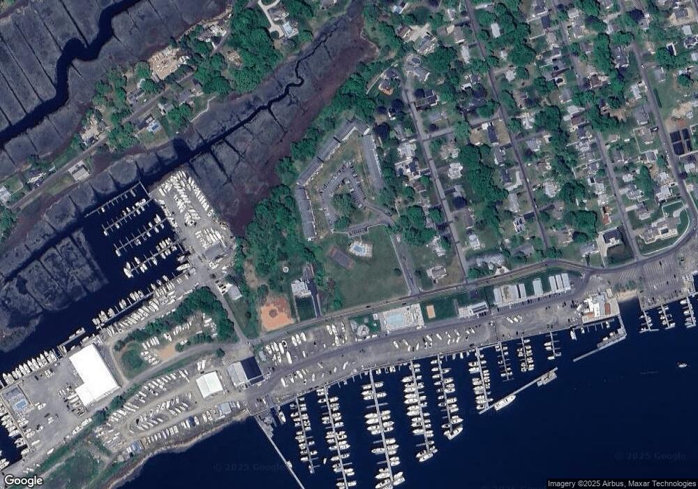
Map
Nearby Homes
- 19 Riverside Dr
- 27 Maplewood Dr
- 62 Cedar Island Ave
- 26 Cedar Island Ave
- 28 Maple Ave
- 42 Central Ave
- 129 W Main St
- 0 Cow Hill Rd
- 64 W Main St
- 133 W Main St Unit TRLR A9
- 133 W Main St Unit MV1
- 133 W Main St Unit TRLR C6
- 4 North St
- 92 4th St
- 13 Waterside Ln
- 7 3rd St
- 16 North St
- 52 High St
- 24 College St Unit 5
- 33 North St
- 25 Riverside Dr Unit A1
- 25 Riverside Dr Unit A9
- 25 Riverside Dr Unit E11
- 25 Riverside Dr Unit A7
- 25 Riverside Dr Unit E4
- 25 Riverside Dr Unit C2
- 25 Riverside Dr Unit B3
- 25 Riverside Dr Unit A16
- 25 Riverside Dr Unit E3
- 25 Riverside Dr Unit C3
- 25 Riverside Dr Unit E7
- 25 Riverside Dr Unit A12
- 25 Riverside Dr Unit C6
- 25 Riverside Dr Unit A14
- 25 Riverside Dr Unit D4
- 25 Riverside Dr Unit E5
- 25 Riverside Dr Unit A13
- 25 Riverside Dr Unit C4
- 25 Riverside Dr Unit D1
- 25 Riverside Dr Unit B5