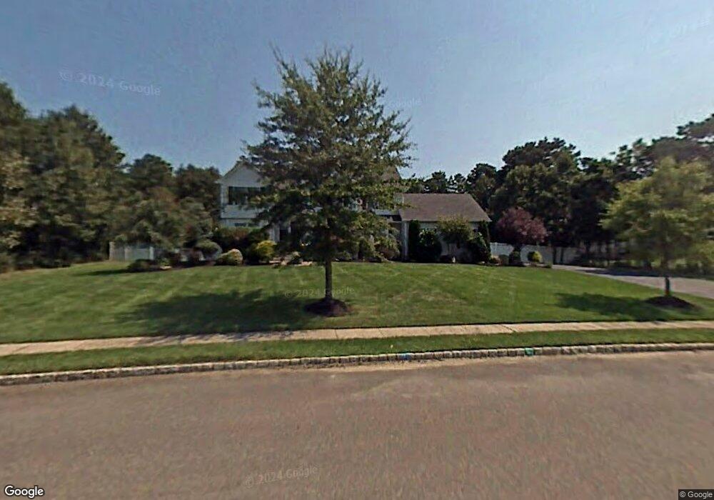
25 Robin Ln Monroe Township, NJ 08831
Estimated Value: $993,727 - $1,136,000
--
Bed
--
Bath
2,961
Sq Ft
$366/Sq Ft
Est. Value
About This Home
This home is located at 25 Robin Ln, Monroe Township, NJ 08831 and is currently estimated at $1,084,432, approximately $366 per square foot. 25 Robin Ln is a home located in Middlesex County with nearby schools including Mill Lake Elementary School, Woodland Elementary School, and Monroe Township Middle School.
Ownership History
Date
Name
Owned For
Owner Type
Purchase Details
Closed on
Jul 6, 2023
Sold by
Perry Dave L and Perry Lisa L
Bought by
Perry Living Trust and Perry
Current Estimated Value
Purchase Details
Closed on
Sep 22, 1998
Sold by
Pines Monroe
Bought by
Perry Dave and Perry Lisa
Home Financials for this Owner
Home Financials are based on the most recent Mortgage that was taken out on this home.
Original Mortgage
$260,900
Interest Rate
6.65%
Create a Home Valuation Report for This Property
The Home Valuation Report is an in-depth analysis detailing your home's value as well as a comparison with similar homes in the area
Home Values in the Area
Average Home Value in this Area
Purchase History
| Date | Buyer | Sale Price | Title Company |
|---|---|---|---|
| Perry Living Trust | -- | None Listed On Document | |
| Perry Living Trust | -- | None Listed On Document | |
| Perry Dave | $289,900 | -- |
Source: Public Records
Mortgage History
| Date | Status | Borrower | Loan Amount |
|---|---|---|---|
| Previous Owner | Perry Dave | $260,900 |
Source: Public Records
Tax History Compared to Growth
Tax History
| Year | Tax Paid | Tax Assessment Tax Assessment Total Assessment is a certain percentage of the fair market value that is determined by local assessors to be the total taxable value of land and additions on the property. | Land | Improvement |
|---|---|---|---|---|
| 2025 | $16,551 | $598,000 | $234,300 | $363,700 |
| 2024 | $15,975 | $593,000 | $234,300 | $358,700 |
| 2023 | $15,975 | $593,000 | $234,300 | $358,700 |
| 2022 | $15,726 | $593,000 | $234,300 | $358,700 |
| 2021 | $11,724 | $593,000 | $234,300 | $358,700 |
| 2020 | $15,643 | $593,000 | $234,300 | $358,700 |
| 2019 | $15,305 | $593,000 | $234,300 | $358,700 |
| 2018 | $15,187 | $593,000 | $234,300 | $358,700 |
| 2017 | $14,890 | $593,000 | $234,300 | $358,700 |
| 2016 | $14,671 | $593,000 | $234,300 | $358,700 |
| 2015 | $14,256 | $593,000 | $234,300 | $358,700 |
| 2014 | $13,675 | $593,000 | $234,300 | $358,700 |
Source: Public Records
Map
Nearby Homes
- 23 Robin Ln
- 27 Robin Ln
- 458 Spotswood Gravel Hill Rd
- 456 Spotswood Gravel Hill Rd
- 24 Robin Ln
- 460 Spotswood-Gravel Hill Rd
- 1 Carnegie St
- 21 Robin Ln
- 22 Robin Ln
- 26 Robin Ln
- 460 Spotswood Gravel Hill Rd
- 28 Robin Ln
- 5 Roma Ct
- 3 Carnegie St
- 19 Robin Ln
- 25 Brandon Ave
- 2 Carnegie St
- 27 Brandon Ave
- 5 Carnegie St
- 29 Samantha Dr