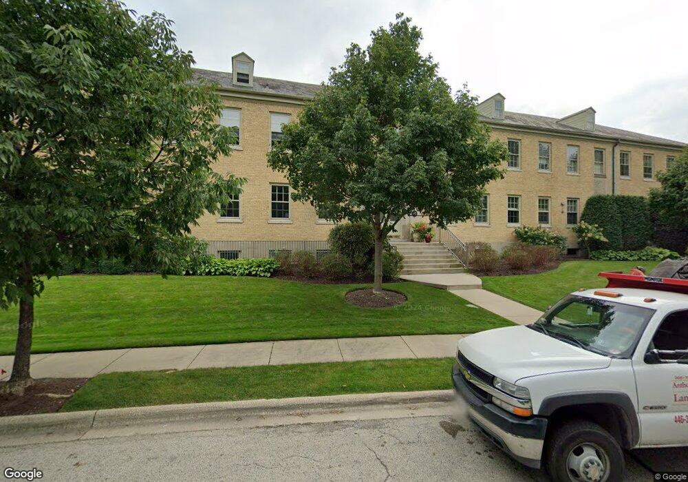
25 Ronan Rd Highwood, IL 60040
Estimated Value: $294,209 - $802,000
Studio
1
Bath
440
Sq Ft
$1,214/Sq Ft
Est. Value
About This Home
This home is located at 25 Ronan Rd, Highwood, IL 60040 and is currently estimated at $534,302, approximately $1,214 per square foot. 25 Ronan Rd is a home located in Lake County with nearby schools including Wayne Thomas Elementary School, Northwood Jr High School, and Highland Park High School.
Ownership History
Date
Name
Owned For
Owner Type
Purchase Details
Closed on
Jul 28, 2022
Sold by
Watts James M and Watts Nancy
Bought by
James And Nancy Watts Trust
Current Estimated Value
Purchase Details
Closed on
May 26, 2016
Sold by
Griffith Harry
Bought by
Watts James M and Watts Nancy
Home Financials for this Owner
Home Financials are based on the most recent Mortgage that was taken out on this home.
Original Mortgage
$380,000
Interest Rate
3.12%
Mortgage Type
Adjustable Rate Mortgage/ARM
Create a Home Valuation Report for This Property
The Home Valuation Report is an in-depth analysis detailing your home's value as well as a comparison with similar homes in the area
Home Values in the Area
Average Home Value in this Area
Purchase History
| Date | Buyer | Sale Price | Title Company |
|---|---|---|---|
| James And Nancy Watts Trust | -- | Margolis Weldon Llc | |
| Watts James M | $475,000 | Chicago Title Insurance Co |
Source: Public Records
Mortgage History
| Date | Status | Borrower | Loan Amount |
|---|---|---|---|
| Previous Owner | Watts James M | $380,000 |
Source: Public Records
Tax History
| Year | Tax Paid | Tax Assessment Tax Assessment Total Assessment is a certain percentage of the fair market value that is determined by local assessors to be the total taxable value of land and additions on the property. | Land | Improvement |
|---|---|---|---|---|
| 2024 | $383 | $5,025 | $1,809 | $3,216 |
| 2023 | $433 | $4,530 | $1,631 | $2,899 |
| 2022 | $433 | $4,977 | $1,792 | $3,185 |
| 2021 | $401 | $4,811 | $1,732 | $3,079 |
| 2020 | $392 | $4,811 | $1,732 | $3,079 |
| 2019 | $380 | $4,789 | $1,724 | $3,065 |
| 2018 | $263 | $3,460 | $3,295 | $165 |
| 2017 | $260 | $3,440 | $3,276 | $164 |
| 2016 | $250 | $3,275 | $3,119 | $156 |
| 2015 | $245 | $3,043 | $2,898 | $145 |
| 2014 | $247 | $3,083 | $2,936 | $147 |
| 2012 | $241 | $3,101 | $2,953 | $148 |
Source: Public Records
Map
Nearby Homes
- 44 Westover Rd
- 512 Hill St
- 3272 Western Ave
- 3373 Brook Rd
- 308 Washington Ave
- 0 Patten Rd
- 535 Lockard Ln
- 34 Logan Loop Unit 242
- 525 Lockard Ln
- 239 Sheridan Ave
- 43 Clay Ave
- 786 Hill St
- 225 Burchell Ave
- 719 Burchell Ave
- 840 Auburn Ct
- 247 Highwood Ave
- 249 Evolution Ave
- 417 Temple Ave
- 890 Cherokee Rd
- 1 Burtis Ave
Your Personal Tour Guide
Ask me questions while you tour the home.