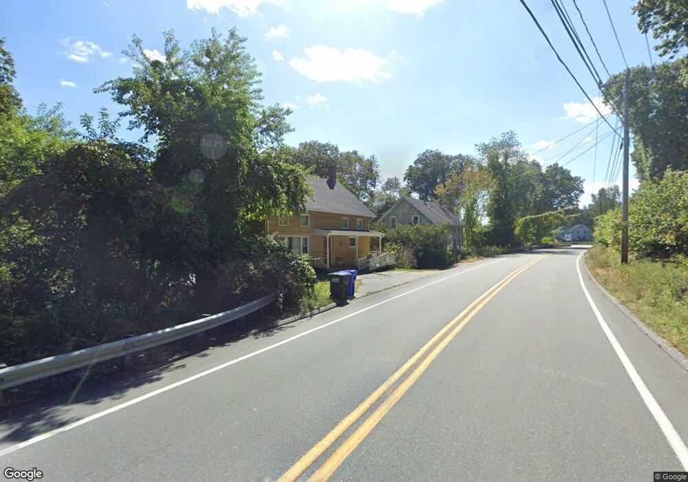
25 Route 2a Preston, CT 06365
Estimated Value: $276,331 - $342,000
4
Beds
3
Baths
1,685
Sq Ft
$180/Sq Ft
Est. Value
About This Home
This home is located at 25 Route 2a, Preston, CT 06365 and is currently estimated at $303,833, approximately $180 per square foot. 25 Route 2a is a home located in New London County with nearby schools including Integrated Day Charter School, St. Joseph School, and St. Patrick Cathedral School.
Ownership History
Date
Name
Owned For
Owner Type
Purchase Details
Closed on
Nov 23, 2020
Sold by
Wirta Katie M and Ezell Melanie N
Bought by
Wirta Katie M and Ezell Melanie N
Current Estimated Value
Purchase Details
Closed on
Jul 23, 2010
Sold by
Ezell Michael W and Ezell Brenda M
Bought by
Ezell Michael W and Ezell Brenda M
Create a Home Valuation Report for This Property
The Home Valuation Report is an in-depth analysis detailing your home's value as well as a comparison with similar homes in the area
Home Values in the Area
Average Home Value in this Area
Purchase History
| Date | Buyer | Sale Price | Title Company |
|---|---|---|---|
| Wirta Katie M | -- | None Available | |
| Ezell Michael W | -- | -- |
Source: Public Records
Mortgage History
| Date | Status | Borrower | Loan Amount |
|---|---|---|---|
| Previous Owner | Ezell Michael W | $6,000 | |
| Previous Owner | Ezell Michael W | $15,000 |
Source: Public Records
Tax History
| Year | Tax Paid | Tax Assessment Tax Assessment Total Assessment is a certain percentage of the fair market value that is determined by local assessors to be the total taxable value of land and additions on the property. | Land | Improvement |
|---|---|---|---|---|
| 2025 | $3,085 | $122,850 | $43,750 | $79,100 |
| 2024 | $2,871 | $122,850 | $43,750 | $79,100 |
| 2023 | $2,819 | $122,850 | $43,750 | $79,100 |
| 2022 | $2,495 | $89,500 | $35,700 | $53,800 |
| 2021 | $2,411 | $89,500 | $35,700 | $53,800 |
| 2020 | $2,408 | $89,500 | $35,700 | $53,800 |
| 2019 | $4,134 | $89,500 | $35,700 | $53,800 |
| 2018 | $2,330 | $89,500 | $35,700 | $53,800 |
| 2017 | $2,330 | $97,100 | $36,900 | $60,200 |
| 2016 | $2,306 | $97,100 | $36,900 | $60,200 |
| 2015 | $2,233 | $97,100 | $36,900 | $60,200 |
| 2014 | $2,247 | $97,100 | $36,900 | $60,200 |
Source: Public Records
Map
Nearby Homes
- 36 Route 2a
- 15 Paster Rd
- 104 Route 2a
- 7 Barn Rd
- 11 Willow Ln
- 31 Branch Hill Rd
- 105 Stonington Rd
- 278 Palmer Street Extension
- 381 Route 2
- 16 Marlene Dr
- 3 Holdsworth Rd
- 14 Abbey Rd
- 31 Woodland Dr
- 16 Abbey Rd
- 5 Mount Laurel Rd
- 552 Laurel Hill Rd
- 168 Corning Rd
- 547 Old Laurel Hill Rd
- 991 Shewville Rd
- 41 Palmer St Unit 22
Your Personal Tour Guide
Ask me questions while you tour the home.