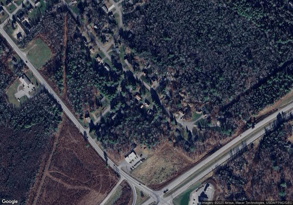
25 Ruth Ave Hampden, ME 04444
Estimated Value: $339,000 - $429,000
4
Beds
3
Baths
2,400
Sq Ft
$157/Sq Ft
Est. Value
About This Home
This home is located at 25 Ruth Ave, Hampden, ME 04444 and is currently estimated at $377,877, approximately $157 per square foot. 25 Ruth Ave is a home located in Penobscot County.
Ownership History
Date
Name
Owned For
Owner Type
Purchase Details
Closed on
Nov 6, 2017
Sold by
Matthews Robert M and Matthews Paulette D
Bought by
Baker Hezekiah H
Current Estimated Value
Home Financials for this Owner
Home Financials are based on the most recent Mortgage that was taken out on this home.
Original Mortgage
$208,000
Outstanding Balance
$173,367
Interest Rate
3.83%
Mortgage Type
New Conventional
Estimated Equity
$204,510
Create a Home Valuation Report for This Property
The Home Valuation Report is an in-depth analysis detailing your home's value as well as a comparison with similar homes in the area
Home Values in the Area
Average Home Value in this Area
Purchase History
| Date | Buyer | Sale Price | Title Company |
|---|---|---|---|
| Baker Hezekiah H | -- | -- |
Source: Public Records
Mortgage History
| Date | Status | Borrower | Loan Amount |
|---|---|---|---|
| Open | Baker Hezekiah H | $208,000 |
Source: Public Records
Tax History
| Year | Tax Paid | Tax Assessment Tax Assessment Total Assessment is a certain percentage of the fair market value that is determined by local assessors to be the total taxable value of land and additions on the property. | Land | Improvement |
|---|---|---|---|---|
| 2025 | $4,494 | $254,640 | $61,160 | $193,480 |
| 2024 | $3,545 | $226,500 | $54,400 | $172,100 |
| 2023 | $3,573 | $185,600 | $44,600 | $141,000 |
| 2022 | $3,310 | $159,900 | $38,400 | $121,500 |
| 2021 | $3,310 | $159,900 | $38,400 | $121,500 |
| 2020 | $3,262 | $159,900 | $38,400 | $121,500 |
| 2019 | $3,174 | $155,600 | $37,300 | $118,300 |
| 2018 | $3,050 | $155,600 | $37,300 | $118,300 |
| 2017 | $2,696 | $146,500 | $37,300 | $109,200 |
| 2016 | $2,657 | $146,000 | $37,000 | $109,000 |
| 2015 | $2,555 | $146,000 | $37,000 | $109,000 |
| 2014 | $2,564 | $146,500 | $37,300 | $109,200 |
| 2013 | $2,439 | $146,500 | $37,300 | $109,200 |
Source: Public Records
Map
Nearby Homes
- 42 Coldbrook Rd
- 180 Main Rd N
- 13 Westbrook Terrace
- 23 Horseshoe Ln
- 73 Papermill Rd
- 304 Main Rd N
- 12 Rowell Rd
- 164 Mayo Rd
- 197 Arctic Station Rd
- 135 Mayo Rd Unit 2-B
- 338 Western Ave
- 0 Western Ave Unit 21258039
- 59 Summer St
- M14 L23A Ferry Rd
- 341 River Rd
- 17 Kennebec Rd
- 32 Northern Ave
- 65F Dr
- 259 River Rd
- 74 Town Farm Rd
Your Personal Tour Guide
Ask me questions while you tour the home.