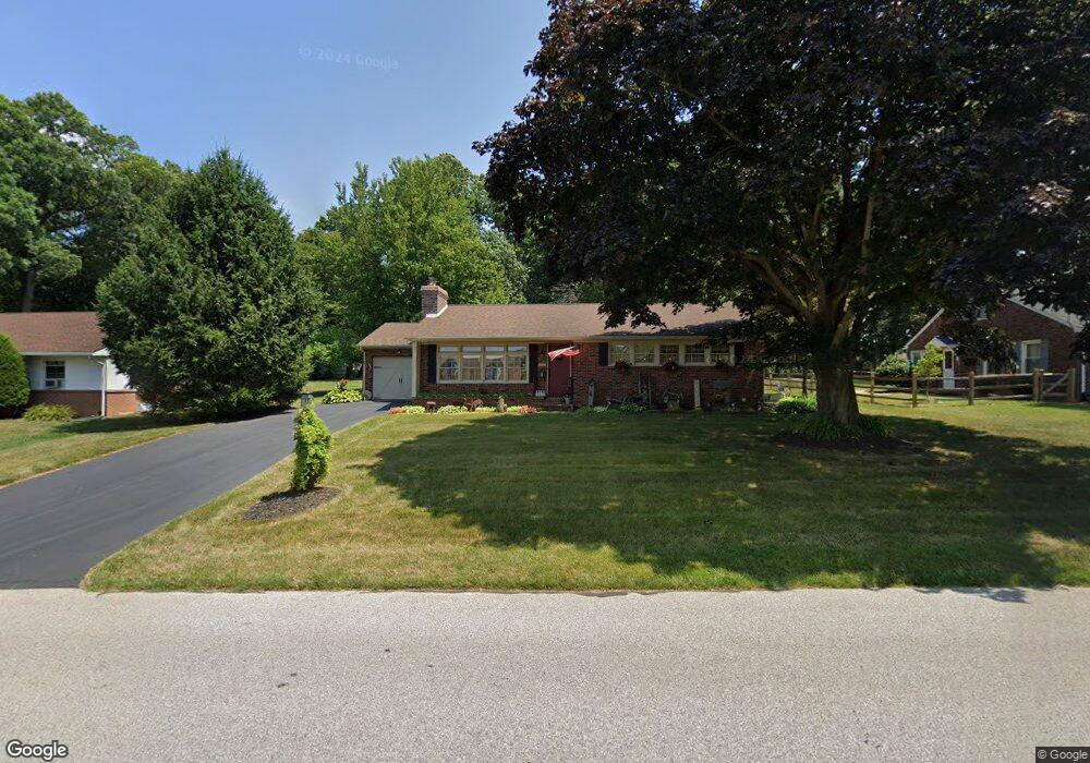
25 S Charles St New Freedom, PA 17349
Estimated Value: $235,000 - $329,000
3
Beds
1
Bath
1,298
Sq Ft
$222/Sq Ft
Est. Value
About This Home
This home is located at 25 S Charles St, New Freedom, PA 17349 and is currently estimated at $287,575, approximately $221 per square foot. 25 S Charles St is a home located in York County with nearby schools including Susquehannock High School, St John The Baptist Catholic School, and Shrewsbury Christian Academy.
Ownership History
Date
Name
Owned For
Owner Type
Purchase Details
Closed on
Oct 4, 2012
Sold by
Slater Daniel R and Slater Bonnie L
Bought by
Slater Bonnie L
Current Estimated Value
Purchase Details
Closed on
Jun 19, 1998
Sold by
Walls Ricky Ray and Walls Carolyn Sue
Bought by
Slater Daniel R and Slater Bonnie L
Home Financials for this Owner
Home Financials are based on the most recent Mortgage that was taken out on this home.
Original Mortgage
$110,100
Outstanding Balance
$22,103
Interest Rate
7.09%
Estimated Equity
$265,472
Create a Home Valuation Report for This Property
The Home Valuation Report is an in-depth analysis detailing your home's value as well as a comparison with similar homes in the area
Home Values in the Area
Average Home Value in this Area
Purchase History
| Date | Buyer | Sale Price | Title Company |
|---|---|---|---|
| Slater Bonnie L | -- | None Available | |
| Slater Daniel R | $115,900 | -- |
Source: Public Records
Mortgage History
| Date | Status | Borrower | Loan Amount |
|---|---|---|---|
| Open | Slater Daniel R | $110,100 |
Source: Public Records
Tax History Compared to Growth
Tax History
| Year | Tax Paid | Tax Assessment Tax Assessment Total Assessment is a certain percentage of the fair market value that is determined by local assessors to be the total taxable value of land and additions on the property. | Land | Improvement |
|---|---|---|---|---|
| 2025 | $4,131 | $139,600 | $33,680 | $105,920 |
| 2024 | $4,064 | $139,600 | $33,680 | $105,920 |
| 2023 | $4,022 | $139,600 | $33,680 | $105,920 |
| 2022 | $4,001 | $139,600 | $33,680 | $105,920 |
| 2021 | $3,828 | $139,600 | $33,680 | $105,920 |
| 2020 | $3,803 | $139,600 | $33,680 | $105,920 |
| 2019 | $3,803 | $139,600 | $33,680 | $105,920 |
| 2018 | $3,723 | $139,600 | $33,680 | $105,920 |
| 2017 | $3,624 | $139,600 | $33,680 | $105,920 |
| 2016 | $0 | $139,600 | $33,680 | $105,920 |
| 2015 | -- | $139,600 | $33,680 | $105,920 |
| 2014 | -- | $139,600 | $33,680 | $105,920 |
Source: Public Records
Map
Nearby Homes
- 101 Freedom Ave
- 48 E Franklin St
- 41 Logan Dr
- 411 Peggy Ln
- 318 Eliza Rd
- 32 Washington Rd
- 111 Penny Ln
- 1402 Oakland Rd
- 677 Keller Rd
- 1605 Oakland Rd
- 21315 Ridge Rd
- 521 Windy Hill Rd
- 452 Hilltop Ct
- Lot #1 Norland Way Unit COVINGTON
- LOT 8 PORTLAND MODEL Harambe Overlook
- LOT 7 ST. MICHAELS M Harambe Overlook
- LOT 8 SAVANNAH MODEL Harambe Overlook
- LOT 6 CAMDEN MODEL Harambe Overlook
- 17453 Reddale Dr
- 1 Harambe Overlook
- 27 S Charles St
- 21 S Charles St
- 31 S Charles St
- 102 Freedom Ave
- 30 S Charles St
- 24 S Charles St
- 100 Freedom Ave
- 104 Freedom Ave
- 125 Chestnut St
- 35 S Charles St
- 106 Freedom Ave
- 12 Freedom Ave
- 121 Chestnut St
- 34 S Charles St
- 103 Freedom Ave
- 108 Freedom Ave
- 21 S Constitution Ave
- 105 Freedom Ave
- 10 Freedom Ave
- 13 Freedom Ave