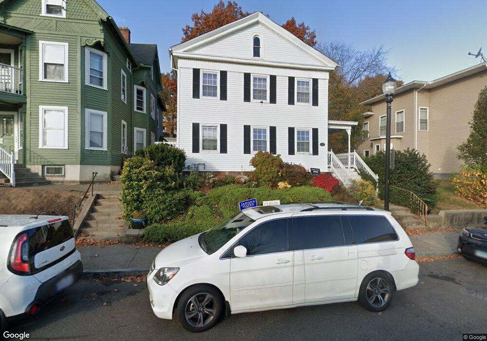
25 S High St New Britain, CT 06051
Estimated Value: $291,000 - $357,000
2
Beds
1
Bath
2,520
Sq Ft
$129/Sq Ft
Est. Value
About This Home
This home is located at 25 S High St, New Britain, CT 06051 and is currently estimated at $325,001, approximately $128 per square foot. 25 S High St is a home located in Hartford County with nearby schools including Vance School, Slade Middle School, and Mountain Laurel Sudbury School.
Ownership History
Date
Name
Owned For
Owner Type
Purchase Details
Closed on
Dec 24, 2009
Sold by
Imossi Michele F
Bought by
Obrien Timothy and Cohen Rhona L
Current Estimated Value
Home Financials for this Owner
Home Financials are based on the most recent Mortgage that was taken out on this home.
Original Mortgage
$89,896
Outstanding Balance
$60,033
Interest Rate
5.37%
Mortgage Type
FHA
Estimated Equity
$264,968
Purchase Details
Closed on
Mar 27, 1992
Sold by
Arute Wayne C and Arute Lori P
Bought by
Imossi Michele F
Home Financials for this Owner
Home Financials are based on the most recent Mortgage that was taken out on this home.
Original Mortgage
$114,700
Interest Rate
8.66%
Mortgage Type
Unknown
Create a Home Valuation Report for This Property
The Home Valuation Report is an in-depth analysis detailing your home's value as well as a comparison with similar homes in the area
Home Values in the Area
Average Home Value in this Area
Purchase History
| Date | Buyer | Sale Price | Title Company |
|---|---|---|---|
| Obrien Timothy | $93,500 | -- | |
| Imossi Michele F | $153,000 | -- |
Source: Public Records
Mortgage History
| Date | Status | Borrower | Loan Amount |
|---|---|---|---|
| Open | Imossi Michele F | $89,896 | |
| Previous Owner | Imossi Michele F | $94,000 | |
| Previous Owner | Imossi Michele F | $114,700 | |
| Previous Owner | Imossi Michele F | $110,000 |
Source: Public Records
Tax History Compared to Growth
Tax History
| Year | Tax Paid | Tax Assessment Tax Assessment Total Assessment is a certain percentage of the fair market value that is determined by local assessors to be the total taxable value of land and additions on the property. | Land | Improvement |
|---|---|---|---|---|
| 2025 | $6,082 | $145,040 | $22,330 | $122,710 |
| 2024 | $5,742 | $145,040 | $22,330 | $122,710 |
| 2023 | $5,552 | $145,040 | $22,330 | $122,710 |
| 2022 | $4,917 | $99,330 | $6,370 | $92,960 |
| 2021 | $4,917 | $99,330 | $6,370 | $92,960 |
| 2020 | $5,016 | $99,330 | $6,370 | $92,960 |
| 2019 | $5,016 | $99,330 | $6,370 | $92,960 |
| 2018 | $5,016 | $99,330 | $6,370 | $92,960 |
| 2017 | $5,211 | $103,180 | $7,210 | $95,970 |
| 2016 | $5,211 | $103,180 | $7,210 | $95,970 |
| 2015 | $5,056 | $103,180 | $7,210 | $95,970 |
| 2014 | $5,056 | $103,180 | $7,210 | $95,970 |
Source: Public Records
Map
Nearby Homes
- 29 S High St
- 29 S High St Unit 3
- 29 S High St Unit 2
- 29 S High St Unit 1
- 19 S High St Unit 3
- 19 S High St Unit 1
- 19 S High St
- 19 S High St Unit 2
- 33 S High St
- 37 S High St
- 8 Emmons Place
- 8 Emmons Place Unit 1
- 136 W Main St
- 19 Emmons Place
- 19 Emmons Place Unit B
- 15 Emmons Place
- 114 W Main St
- 114 W Main St Unit Ste 104-106
- 114 W Main St Unit 201
- 114 W Main St Unit 106