25 S Shore Dr Addison, MI 49220
Estimated Value: $732,000 - $771,986
4
Beds
5
Baths
2,338
Sq Ft
$322/Sq Ft
Est. Value
About This Home
This home is located at 25 S Shore Dr, Addison, MI 49220 and is currently estimated at $751,993, approximately $321 per square foot. 25 S Shore Dr is a home located in Lenawee County with nearby schools including Columbia Lower Elementary School, Columbia Upper Elementary School, and Columbia Central Jr./Sr. High School.
Ownership History
Date
Name
Owned For
Owner Type
Purchase Details
Closed on
Jul 15, 2005
Sold by
Morris Phil M and Morris Sherell J
Bought by
The Bitz Family Living Trust
Current Estimated Value
Create a Home Valuation Report for This Property
The Home Valuation Report is an in-depth analysis detailing your home's value as well as a comparison with similar homes in the area
Home Values in the Area
Average Home Value in this Area
Purchase History
| Date | Buyer | Sale Price | Title Company |
|---|---|---|---|
| The Bitz Family Living Trust | $500,000 | None Available |
Source: Public Records
Tax History Compared to Growth
Tax History
| Year | Tax Paid | Tax Assessment Tax Assessment Total Assessment is a certain percentage of the fair market value that is determined by local assessors to be the total taxable value of land and additions on the property. | Land | Improvement |
|---|---|---|---|---|
| 2025 | $7,931 | $387,500 | $0 | $0 |
| 2024 | $2,738 | $407,100 | $0 | $0 |
| 2023 | -- | $359,400 | $0 | $0 |
| 2022 | $5,811 | $258,100 | $0 | $0 |
| 2021 | $5,811 | $251,900 | $0 | $0 |
| 2020 | $5,520 | $228,400 | $0 | $0 |
| 2019 | $581,606 | $228,400 | $0 | $0 |
| 2018 | $5,304 | $129,211 | $0 | $0 |
| 2017 | $5,048 | $131,447 | $0 | $0 |
| 2016 | $5,014 | $130,525 | $0 | $0 |
| 2014 | -- | $151,819 | $0 | $0 |
Source: Public Records
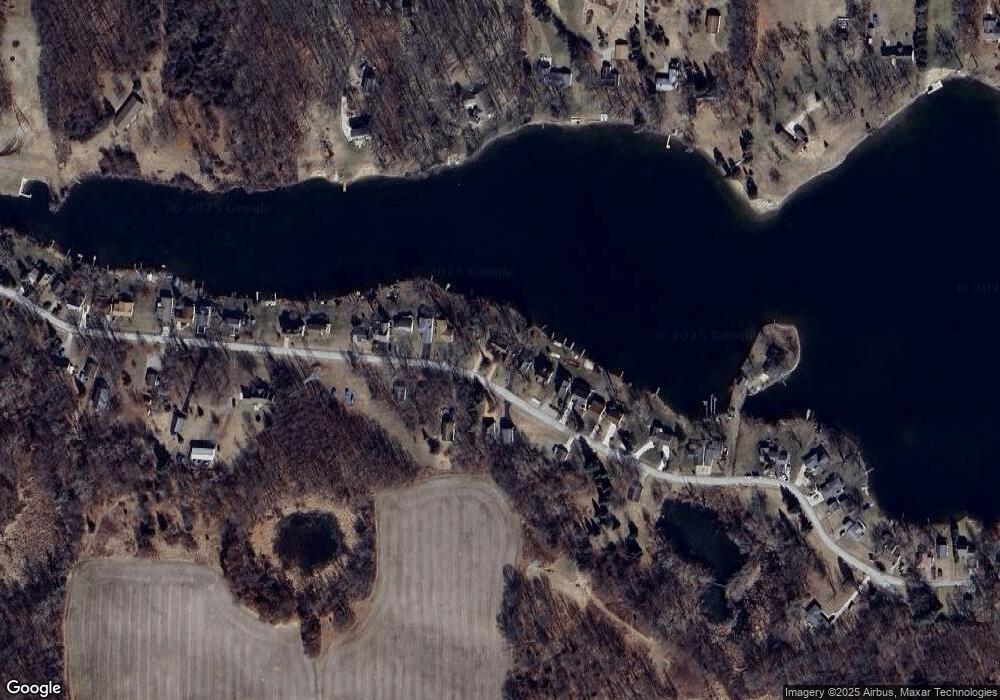
Map
Nearby Homes
- 186 Harris Dr
- 15816 Sanford Rd
- 17430 U S 12
- 14800 Canary Ct
- 900 Pamawa Dr
- 17475 U S 223
- 61 Pamawa Dr
- Lot 62 Pamawa Dr
- 9304 Parkhurst Hwy
- 15255 Wheaton Rd
- 10911 Devils Lake Hwy
- 407 Potter St
- 319 Neil St
- 8000 Parkhurst Hwy Unit Carroll Dr ((1175)
- 15499 Cement City Rd
- 506 Lewis Rd
- 129 Kathy Ln
- 16424 N Rollin Hwy
- 120 Kathy Ln
- 287 Somerset Dr
- 25 Brooks Southshore Dr
- 8 Brooks Southshore Dr
- 26 Brooks Southshore Dr
- 23 S Shore Dr
- 23 Brooks Southshore Dr
- 27 Brooks Southshore Dr
- 9 Brooks Southshore Dr
- 22 Brooks Southshore Dr
- 40 Brooks Southshore Dr
- 38 Brooks Southshore Dr
- 40 Brooks Southshore Dr
- 11 Brooks Southshore Dr
- 5 Brooks Southshore Dr
- 4 Brooks Southshore Dr
- 4 S Shore Dr
- 4 Brooks Shore S
- 6 S Shore Dr
- 6 Brooks Southshore Dr
- 15 Brooks Southshore Dr
- 15 Brooks Southshore Dr