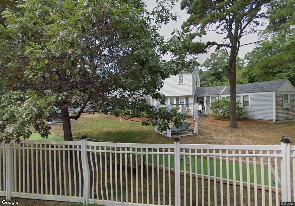
25 Seaview Rd Eastham, MA 02642
Estimated Value: $1,971,359
--
Bed
--
Bath
3,921
Sq Ft
$503/Sq Ft
Est. Value
About This Home
This home is located at 25 Seaview Rd, Eastham, MA 02642 and is currently estimated at $1,971,359, approximately $502 per square foot. 25 Seaview Rd is a home located in Barnstable County with nearby schools including Eastham Elementary School, Nauset Regional Middle School, and Nauset Regional High School.
Ownership History
Date
Name
Owned For
Owner Type
Purchase Details
Closed on
Nov 7, 2020
Sold by
Morgan Rt
Bought by
Shaw Wyman J and Shaw Karen E
Current Estimated Value
Purchase Details
Closed on
Apr 5, 2019
Sold by
Cove Bluff Properties Llc
Bought by
Cbi Holdings Llc
Home Financials for this Owner
Home Financials are based on the most recent Mortgage that was taken out on this home.
Original Mortgage
$480,000
Interest Rate
4.4%
Mortgage Type
New Conventional
Purchase Details
Closed on
Dec 5, 1997
Sold by
Bay State Mtg Assoc
Bought by
Ioka Rt and Thompsen Thomas E
Home Financials for this Owner
Home Financials are based on the most recent Mortgage that was taken out on this home.
Original Mortgage
$207,500
Interest Rate
7.28%
Mortgage Type
Commercial
Create a Home Valuation Report for This Property
The Home Valuation Report is an in-depth analysis detailing your home's value as well as a comparison with similar homes in the area
Home Values in the Area
Average Home Value in this Area
Purchase History
| Date | Buyer | Sale Price | Title Company |
|---|---|---|---|
| Shaw Wyman J | $550,000 | None Available | |
| Cbi Holdings Llc | $520,000 | -- | |
| Ioka Rt | $290,000 | -- | |
| Ioka Rt | $290,000 | -- |
Source: Public Records
Mortgage History
| Date | Status | Borrower | Loan Amount |
|---|---|---|---|
| Previous Owner | Cbi Holdings Llc | $480,000 | |
| Previous Owner | Ioka Rt | $207,500 |
Source: Public Records
Tax History Compared to Growth
Tax History
| Year | Tax Paid | Tax Assessment Tax Assessment Total Assessment is a certain percentage of the fair market value that is determined by local assessors to be the total taxable value of land and additions on the property. | Land | Improvement |
|---|---|---|---|---|
| 2025 | $4,517 | $585,900 | $281,500 | $304,400 |
| 2024 | $4,036 | $575,800 | $273,200 | $302,600 |
| 2023 | $4,083 | $564,000 | $265,400 | $298,600 |
| 2022 | $4,374 | $509,800 | $236,800 | $273,000 |
| 2021 | $4,564 | $497,200 | $230,000 | $267,200 |
| 2020 | $4,483 | $514,100 | $234,700 | $279,400 |
| 2019 | $4,205 | $509,700 | $234,700 | $275,000 |
| 2018 | $4,142 | $496,100 | $227,900 | $268,200 |
| 2017 | $3,891 | $492,500 | $224,100 | $268,400 |
| 2016 | $3,637 | $488,800 | $222,700 | $266,100 |
| 2015 | $3,488 | $491,300 | $220,400 | $270,900 |
Source: Public Records
Map
Nearby Homes
- 25 Twin Rocks Dr
- 1061 State Hwy Unit 4
- 993 Intonti Way
- 995 Intonti Way
- 30 Cove Rd
- 20 Kittiwake Ln
- 785 State Hwy Unit 9
- 60 Smith Heights Way
- 330 Hay Rd
- 6 Snow Way
- 20 White Pines Dr
- 46 Freeman Ln
- 320 State Hwy
- 180 Country Ln
- 1875 State Hwy
- 3 Bramblewood Ln
- 150 Old State Hwy Unit Compound
- 1975 State Hwy Unit 3
- 1975 State Hwy Unit 5
- 2 Seaview Rd
- 1040 State Hwy
- 20 Seaview Rd
- 15 Seaview Rd
- 10 Seaview Rd
- 30 Seaview Rd
- 1050 State Hwy
- 15 Cranberry Rd
- 40 Seaview Rd
- 45 Shore Rd
- 1055 State Rte 6 Unit 1
- 1055 State Rte 6 Unit 4
- 1055 State Rte 6 Unit U2
- 30 Twin Rocks Dr
- 10 Corliss Ct
- 0 Pheasant Run
- 960 State Hwy
- 1035 State Hwy
- 1085 State Hwy
- 1085 State Hwy Unit 1085
- 1085 State Hwy Unit 17