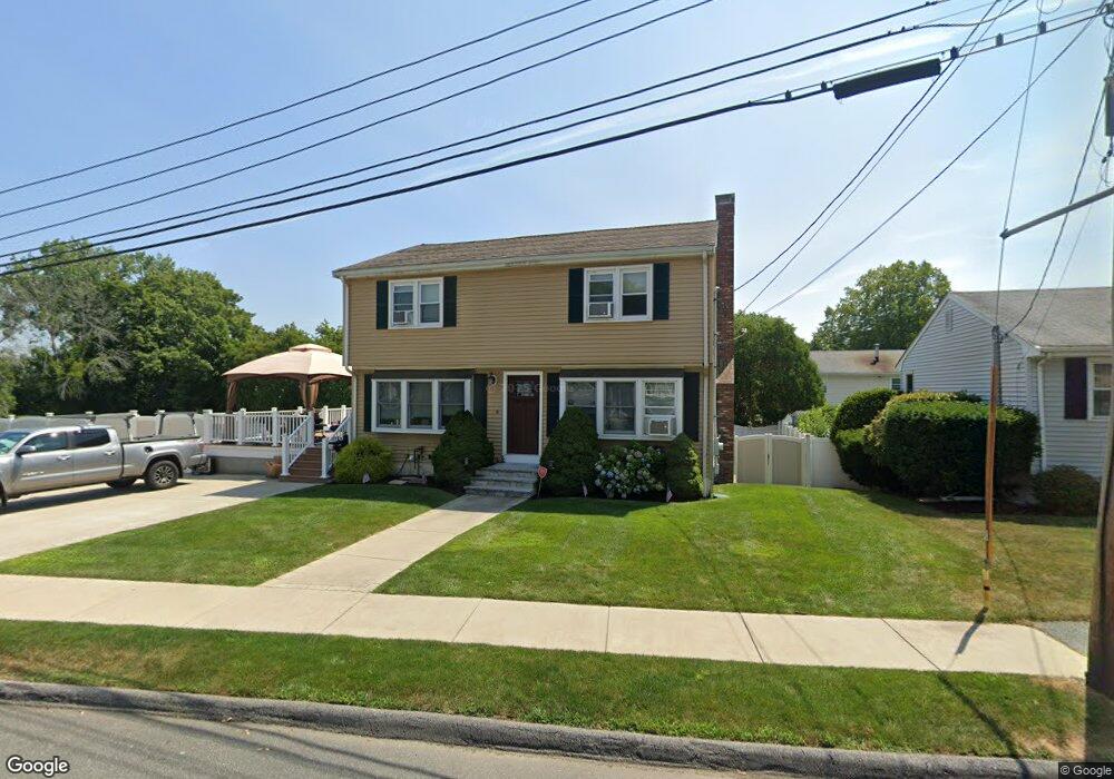
25 Sheffield Dr Peabody, MA 01960
Estimated Value: $695,000 - $728,000
3
Beds
2
Baths
1,600
Sq Ft
$447/Sq Ft
Est. Value
About This Home
This home is located at 25 Sheffield Dr, Peabody, MA 01960 and is currently estimated at $715,973, approximately $447 per square foot. 25 Sheffield Dr is a home located in Essex County with nearby schools including Peabody Veterans Memorial High School, St John The Baptist School, and Bishop Fenwick High School.
Ownership History
Date
Name
Owned For
Owner Type
Purchase Details
Closed on
Dec 30, 2016
Sold by
Marotta John P and Marotta Patricia A
Bought by
Marotta Patricia A
Current Estimated Value
Home Financials for this Owner
Home Financials are based on the most recent Mortgage that was taken out on this home.
Original Mortgage
$325,000
Outstanding Balance
$257,843
Interest Rate
2.88%
Mortgage Type
Adjustable Rate Mortgage/ARM
Estimated Equity
$458,130
Purchase Details
Closed on
Sep 26, 1997
Sold by
Canning Joann and Matheson Christopher
Bought by
Marotta John P and Marotta Patricia A
Purchase Details
Closed on
Nov 19, 1993
Sold by
York Irene
Bought by
Matheson Christopher and Canning Joann
Create a Home Valuation Report for This Property
The Home Valuation Report is an in-depth analysis detailing your home's value as well as a comparison with similar homes in the area
Home Values in the Area
Average Home Value in this Area
Purchase History
| Date | Buyer | Sale Price | Title Company |
|---|---|---|---|
| Marotta Patricia A | -- | -- | |
| Marotta John P | $198,000 | -- | |
| Matheson Christopher | $165,000 | -- |
Source: Public Records
Mortgage History
| Date | Status | Borrower | Loan Amount |
|---|---|---|---|
| Open | Marotta Patricia A | $325,000 | |
| Previous Owner | Matheson Christopher | $295,000 | |
| Previous Owner | Matheson Christopher | $299,555 |
Source: Public Records
Tax History Compared to Growth
Tax History
| Year | Tax Paid | Tax Assessment Tax Assessment Total Assessment is a certain percentage of the fair market value that is determined by local assessors to be the total taxable value of land and additions on the property. | Land | Improvement |
|---|---|---|---|---|
| 2025 | $5,763 | $622,400 | $243,300 | $379,100 |
| 2024 | $5,334 | $584,900 | $243,300 | $341,600 |
| 2023 | $5,472 | $574,800 | $217,200 | $357,600 |
| 2022 | $4,987 | $493,800 | $194,000 | $299,800 |
| 2021 | $5,018 | $478,400 | $176,300 | $302,100 |
| 2020 | $4,861 | $452,600 | $176,300 | $276,300 |
| 2019 | $4,621 | $419,700 | $176,300 | $243,400 |
| 2018 | $4,510 | $393,500 | $160,300 | $233,200 |
| 2017 | $4,390 | $373,300 | $160,300 | $213,000 |
| 2016 | $4,015 | $336,800 | $160,300 | $176,500 |
| 2015 | $3,922 | $318,900 | $156,300 | $162,600 |
Source: Public Records
Map
Nearby Homes
- 29 Reynolds Rd
- 28 Sabino Farm Rd
- 152 Endicott St
- 55 Pulaski St
- 27 Pulaski St
- 7 Rainbow Terrace
- 26 Colonial Rd
- 9 Endicott St Unit B
- 90 Water St
- 68 Prospect St Unit 14
- 33 Water St Unit 7
- 5 Colonial Rd
- 0 Willowdale Ave Unit 73387007
- 108 Abington Rd Unit 108
- 112 Abington Rd
- 10 Mill St
- 37 Constitution Ln Unit 12
- 149 High St Unit 4
- 24 Purchase St
- 166 High St