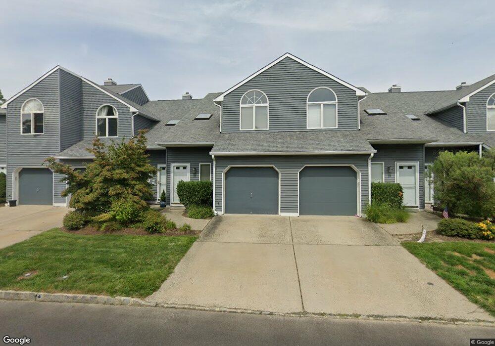
25 Shore Dr Long Branch, NJ 07740
Estimated Value: $538,112 - $568,000
2
Beds
3
Baths
1,400
Sq Ft
$395/Sq Ft
Est. Value
About This Home
This home is located at 25 Shore Dr, Long Branch, NJ 07740 and is currently estimated at $552,778, approximately $394 per square foot. 25 Shore Dr is a home located in Monmouth County with nearby schools including Long Branch High School and Holy Trinity School.
Ownership History
Date
Name
Owned For
Owner Type
Purchase Details
Closed on
Mar 30, 2000
Sold by
Digiacomo Joseph
Bought by
Taylor Thomas
Current Estimated Value
Home Financials for this Owner
Home Financials are based on the most recent Mortgage that was taken out on this home.
Original Mortgage
$50,000
Outstanding Balance
$17,167
Interest Rate
8.26%
Estimated Equity
$535,611
Create a Home Valuation Report for This Property
The Home Valuation Report is an in-depth analysis detailing your home's value as well as a comparison with similar homes in the area
Home Values in the Area
Average Home Value in this Area
Purchase History
| Date | Buyer | Sale Price | Title Company |
|---|---|---|---|
| Taylor Thomas | $138,500 | -- |
Source: Public Records
Mortgage History
| Date | Status | Borrower | Loan Amount |
|---|---|---|---|
| Open | Taylor Thomas | $50,000 |
Source: Public Records
Tax History Compared to Growth
Tax History
| Year | Tax Paid | Tax Assessment Tax Assessment Total Assessment is a certain percentage of the fair market value that is determined by local assessors to be the total taxable value of land and additions on the property. | Land | Improvement |
|---|---|---|---|---|
| 2025 | $6,740 | $452,100 | $275,000 | $177,100 |
| 2024 | $5,901 | $438,500 | $270,000 | $168,500 |
| 2023 | $5,901 | $380,000 | $200,000 | $180,000 |
| 2022 | $5,398 | $308,500 | $150,000 | $158,500 |
| 2021 | $5,398 | $308,300 | $160,000 | $148,300 |
| 2020 | $6,111 | $292,400 | $145,000 | $147,400 |
| 2019 | $5,581 | $265,500 | $125,000 | $140,500 |
| 2018 | $5,293 | $250,400 | $115,000 | $135,400 |
| 2017 | $4,942 | $239,800 | $107,000 | $132,800 |
| 2016 | $4,687 | $231,900 | $102,500 | $129,400 |
| 2015 | $5,206 | $245,000 | $105,000 | $140,000 |
| 2014 | $4,954 | $246,300 | $122,000 | $124,300 |
Source: Public Records
Map
Nearby Homes
- 16 Shore Dr
- 165 Kingsley St
- 164 Airsdale Ave
- 9 Manahassett Park Dr
- 28 Patten Ln
- 154 Atlantic Ave
- 580 Patten Ave Unit 48
- 580 Patten Ave Unit 62
- 580 Patten Ave Unit 86
- 580 Patten Ave Unit 31
- 392 Florence Ave
- 8 Mann Ct
- 381 Long Branch Ave
- 50 Valentine St Unit 27A
- 50 Valentine St Unit 22A
- 50 Valentine St Unit 12B
- 43 Valentine St
- 323 Florence Ave
- 188 Chelton Ave
- 172 Chelton Ave