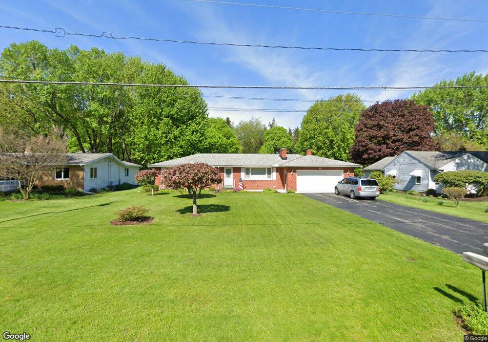
25 Sivon Dr Painesville, OH 44077
Estimated Value: $222,902 - $281,000
3
Beds
2
Baths
1,638
Sq Ft
$156/Sq Ft
Est. Value
About This Home
This home is located at 25 Sivon Dr, Painesville, OH 44077 and is currently estimated at $255,226, approximately $155 per square foot. 25 Sivon Dr is a home located in Lake County with nearby schools including Henry F. Lamuth Middle School, Riverside Junior/Senior High School, and Summit Academy Community School - Painesville.
Ownership History
Date
Name
Owned For
Owner Type
Purchase Details
Closed on
Jul 13, 2000
Sold by
Nelson Robert C
Bought by
Shipman Cyrus G and Shipman Ella M
Current Estimated Value
Home Financials for this Owner
Home Financials are based on the most recent Mortgage that was taken out on this home.
Original Mortgage
$117,000
Outstanding Balance
$42,815
Interest Rate
8.55%
Estimated Equity
$212,411
Purchase Details
Closed on
Mar 11, 1998
Sold by
Nelson Robert C
Bought by
Nelson Robert C and Nelson Robert F
Purchase Details
Closed on
Apr 1, 1985
Bought by
Nelson Robert C
Create a Home Valuation Report for This Property
The Home Valuation Report is an in-depth analysis detailing your home's value as well as a comparison with similar homes in the area
Home Values in the Area
Average Home Value in this Area
Purchase History
| Date | Buyer | Sale Price | Title Company |
|---|---|---|---|
| Shipman Cyrus G | $147,000 | Realty Title Agency Inc | |
| Nelson Robert C | -- | -- | |
| Nelson Robert C | -- | -- |
Source: Public Records
Mortgage History
| Date | Status | Borrower | Loan Amount |
|---|---|---|---|
| Open | Shipman Cyrus G | $117,000 |
Source: Public Records
Tax History Compared to Growth
Tax History
| Year | Tax Paid | Tax Assessment Tax Assessment Total Assessment is a certain percentage of the fair market value that is determined by local assessors to be the total taxable value of land and additions on the property. | Land | Improvement |
|---|---|---|---|---|
| 2024 | -- | $76,240 | $14,390 | $61,850 |
| 2023 | $5,814 | $53,350 | $10,440 | $42,910 |
| 2022 | $2,625 | $53,350 | $10,440 | $42,910 |
| 2021 | $2,634 | $53,350 | $10,440 | $42,910 |
| 2020 | $2,520 | $46,400 | $9,080 | $37,320 |
| 2019 | $2,539 | $46,400 | $9,080 | $37,320 |
| 2018 | $2,547 | $45,210 | $9,060 | $36,150 |
| 2017 | $2,541 | $45,210 | $9,060 | $36,150 |
| 2016 | $2,238 | $45,210 | $9,060 | $36,150 |
| 2015 | $2,088 | $45,210 | $9,060 | $36,150 |
| 2014 | $2,122 | $45,210 | $9,060 | $36,150 |
| 2013 | $2,074 | $45,210 | $9,060 | $36,150 |
Source: Public Records
Map
Nearby Homes
- 269 Hale Rd
- 1787 Muirfield Ln
- 108 Birch Dr
- 1809 Muirfield Ln
- 808 N Creek Dr
- 634 N Creek Dr
- 0 N Ridge Rd Unit 5110949
- 1865 Marsh Ln Unit 1865
- 728 Bowhall Rd
- 1978 Marsh Ln Unit 1978
- 720 N Creek Dr
- 1791 Muirfield Ln
- 1806 Muirfield Ln
- 751 Bacon Rd
- 1788 Kirtstone Terrace
- 1598 Bogie Ln
- 547 Greenside Dr
- 500 Park Rd
- 499 Sand Trap Cir
- 525 Morgan Dr