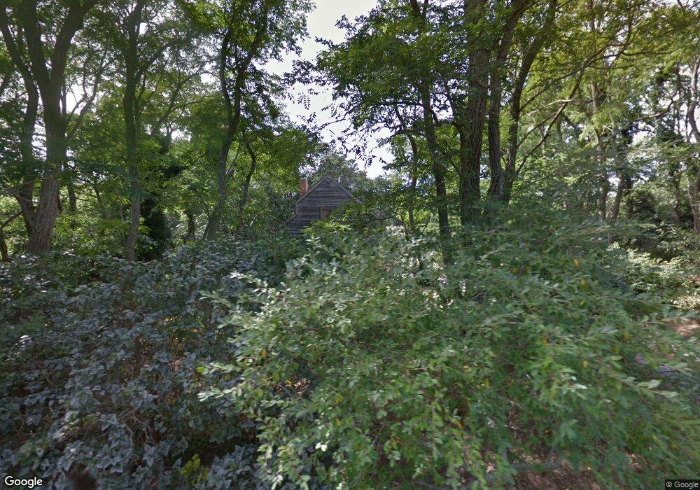
25 Split Rail Rd Eastham, MA 02642
Estimated Value: $760,883 - $888,000
3
Beds
2
Baths
1,323
Sq Ft
$622/Sq Ft
Est. Value
About This Home
This home is located at 25 Split Rail Rd, Eastham, MA 02642 and is currently estimated at $822,721, approximately $621 per square foot. 25 Split Rail Rd is a home located in Barnstable County with nearby schools including Eastham Elementary School, Nauset Regional Middle School, and Nauset Regional High School.
Ownership History
Date
Name
Owned For
Owner Type
Purchase Details
Closed on
Oct 12, 2006
Sold by
Split Rail Road Rt and Domenick Anthony
Bought by
Okeefe-Edson Gail and Edson Ronald
Current Estimated Value
Home Financials for this Owner
Home Financials are based on the most recent Mortgage that was taken out on this home.
Original Mortgage
$352,000
Outstanding Balance
$210,161
Interest Rate
6.47%
Mortgage Type
Purchase Money Mortgage
Estimated Equity
$612,560
Purchase Details
Closed on
Oct 8, 2004
Sold by
Cooper John Ritz
Bought by
Split Rail Road Rt
Create a Home Valuation Report for This Property
The Home Valuation Report is an in-depth analysis detailing your home's value as well as a comparison with similar homes in the area
Home Values in the Area
Average Home Value in this Area
Purchase History
| Date | Buyer | Sale Price | Title Company |
|---|---|---|---|
| Okeefe-Edson Gail | $440,000 | -- | |
| Split Rail Road Rt | $410,000 | -- |
Source: Public Records
Mortgage History
| Date | Status | Borrower | Loan Amount |
|---|---|---|---|
| Open | Okeefe-Edson Gail | $352,000 | |
| Closed | Okeefe-Edson Gail | $88,000 |
Source: Public Records
Tax History
| Year | Tax Paid | Tax Assessment Tax Assessment Total Assessment is a certain percentage of the fair market value that is determined by local assessors to be the total taxable value of land and additions on the property. | Land | Improvement |
|---|---|---|---|---|
| 2025 | $5,045 | $654,300 | $294,900 | $359,400 |
| 2024 | $4,453 | $635,300 | $286,300 | $349,000 |
| 2023 | $4,151 | $573,300 | $265,100 | $308,200 |
| 2022 | $3,922 | $457,100 | $236,700 | $220,400 |
| 2021 | $3,813 | $415,400 | $215,100 | $200,300 |
| 2020 | $3,763 | $431,500 | $241,500 | $190,000 |
| 2019 | $3,546 | $429,800 | $245,200 | $184,600 |
| 2018 | $3,485 | $417,400 | $238,000 | $179,400 |
| 2017 | $3,238 | $409,900 | $233,400 | $176,500 |
| 2016 | $2,848 | $382,800 | $202,900 | $179,900 |
| 2015 | $2,609 | $367,400 | $198,900 | $168,500 |
Source: Public Records
Map
Nearby Homes
- 2705 State Hwy
- 2705 State Hwy Unit 1-8
- 82 Old Orchard Rd
- 600 Kingsbury Beach Rd
- 70 Deerfield Ln
- 25 Forrest Ave
- 315 Candlewood Dr
- 255 Massasoit Rd
- 20 Billingsgate Ave
- 10 Bradford Ln
- 20 Oak Rd
- 55 Grandfathers Way
- 85 Huckleberry Ln
- 330 Hay Rd
- 10 Cartway N
- 1061 State Hwy Unit 4
- 1061 State Hwy Unit 1061
- 18 Jay Dee Ln
- 25 Twin Rocks Dr
- 20 Kittiwake Ln
Your Personal Tour Guide
Ask me questions while you tour the home.