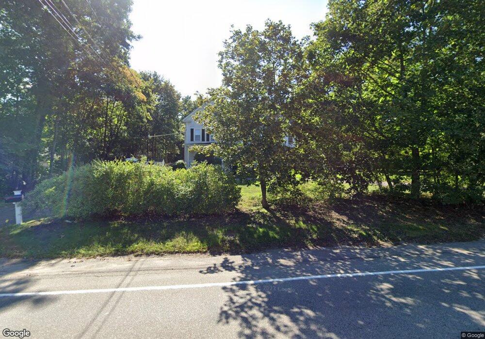
25 Spring St Medfield, MA 02052
Estimated Value: $804,000 - $1,099,000
4
Beds
2
Baths
3,048
Sq Ft
$303/Sq Ft
Est. Value
About This Home
This home is located at 25 Spring St, Medfield, MA 02052 and is currently estimated at $924,133, approximately $303 per square foot. 25 Spring St is a home located in Norfolk County with nearby schools including Memorial School, Ralph Wheelock School, and Dale Street School.
Ownership History
Date
Name
Owned For
Owner Type
Purchase Details
Closed on
Sep 1, 1995
Sold by
Staal John E and Staal Susanne L
Bought by
Cerrato Edward J and Cerrato Kristin M
Current Estimated Value
Purchase Details
Closed on
Apr 29, 1988
Sold by
Murphy James R
Bought by
Staal John E
Create a Home Valuation Report for This Property
The Home Valuation Report is an in-depth analysis detailing your home's value as well as a comparison with similar homes in the area
Home Values in the Area
Average Home Value in this Area
Purchase History
| Date | Buyer | Sale Price | Title Company |
|---|---|---|---|
| Cerrato Edward J | $220,000 | -- | |
| Cerrato Edward J | $220,000 | -- | |
| Staal John E | $245,000 | -- |
Source: Public Records
Mortgage History
| Date | Status | Borrower | Loan Amount |
|---|---|---|---|
| Open | Staal John E | $25,000 | |
| Open | Staal John E | $176,000 | |
| Closed | Staal John E | $176,000 |
Source: Public Records
Tax History
| Year | Tax Paid | Tax Assessment Tax Assessment Total Assessment is a certain percentage of the fair market value that is determined by local assessors to be the total taxable value of land and additions on the property. | Land | Improvement |
|---|---|---|---|---|
| 2025 | $10,137 | $734,600 | $359,500 | $375,100 |
| 2024 | $10,012 | $683,900 | $333,200 | $350,700 |
| 2023 | $9,258 | $600,000 | $315,700 | $284,300 |
| 2022 | $8,470 | $486,200 | $298,100 | $188,100 |
| 2021 | $8,228 | $463,300 | $289,400 | $173,900 |
| 2020 | $8,025 | $450,100 | $282,400 | $167,700 |
| 2019 | $7,697 | $430,700 | $271,800 | $158,900 |
| 2018 | $6,977 | $409,700 | $254,300 | $155,400 |
| 2017 | $6,741 | $399,100 | $245,500 | $153,600 |
| 2016 | $6,656 | $397,400 | $243,800 | $153,600 |
| 2015 | $6,233 | $388,600 | $234,500 | $154,100 |
| 2014 | $5,931 | $367,900 | $213,800 | $154,100 |
Source: Public Records
Map
Nearby Homes
- 2 Pine Grove Rd
- 19 Spring St
- 22 Spring St
- 20 Spring St
- 4 Pine Grove Rd
- 4 Bartlett Ave
- 18 Spring St
- 36 Spring St
- 5 Pine Grove Rd
- 43 Spring St
- 16 Spring St
- 6 Bartlett Ave
- 000 Spring St
- 32 Spring St
- 32 Spring St
- 32r Spring St Unit B
- 32r Spring St Unit 8
- 32r Spring St Unit 7
- 32r Spring St Unit 207
- 32r Spring St Unit 206
Your Personal Tour Guide
Ask me questions while you tour the home.