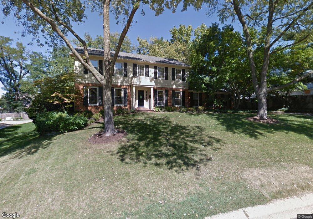
25 Springfield Ct Saint Louis, MO 63122
Estimated Value: $710,218 - $853,000
4
Beds
3
Baths
2,419
Sq Ft
$315/Sq Ft
Est. Value
About This Home
This home is located at 25 Springfield Ct, Saint Louis, MO 63122 and is currently estimated at $762,555, approximately $315 per square foot. 25 Springfield Ct is a home located in St. Louis County with nearby schools including North Glendale Elementary School, Nipher Middle School, and Kirkwood Senior High School.
Ownership History
Date
Name
Owned For
Owner Type
Purchase Details
Closed on
Apr 3, 2012
Sold by
Stewart William Layton and Stewart Marilyn M
Bought by
Mullarkey Timothy and Mullarkey Jacqueline
Current Estimated Value
Home Financials for this Owner
Home Financials are based on the most recent Mortgage that was taken out on this home.
Original Mortgage
$352,000
Outstanding Balance
$243,817
Interest Rate
3.97%
Mortgage Type
New Conventional
Estimated Equity
$518,738
Create a Home Valuation Report for This Property
The Home Valuation Report is an in-depth analysis detailing your home's value as well as a comparison with similar homes in the area
Home Values in the Area
Average Home Value in this Area
Purchase History
| Date | Buyer | Sale Price | Title Company |
|---|---|---|---|
| Mullarkey Timothy | $440,000 | Us Title |
Source: Public Records
Mortgage History
| Date | Status | Borrower | Loan Amount |
|---|---|---|---|
| Open | Mullarkey Timothy | $352,000 |
Source: Public Records
Tax History
| Year | Tax Paid | Tax Assessment Tax Assessment Total Assessment is a certain percentage of the fair market value that is determined by local assessors to be the total taxable value of land and additions on the property. | Land | Improvement |
|---|---|---|---|---|
| 2025 | $7,350 | $130,530 | $68,460 | $62,070 |
| 2024 | $7,350 | $112,560 | $48,870 | $63,690 |
| 2023 | $7,241 | $112,560 | $48,870 | $63,690 |
| 2022 | $6,785 | $98,280 | $52,930 | $45,350 |
| 2021 | $6,690 | $98,280 | $52,930 | $45,350 |
| 2020 | $6,341 | $89,110 | $50,900 | $38,210 |
| 2019 | $6,182 | $89,110 | $50,900 | $38,210 |
| 2018 | $6,794 | $87,650 | $38,380 | $49,270 |
| 2017 | $6,846 | $87,650 | $38,380 | $49,270 |
| 2016 | $6,248 | $80,520 | $30,700 | $49,820 |
| 2015 | $5,978 | $80,520 | $30,700 | $49,820 |
| 2014 | $5,714 | $75,350 | $25,760 | $49,590 |
Source: Public Records
Map
Nearby Homes
- 18 Southridge Dr
- 1012 Nolan Dr
- 519 Bismark Ave
- 809 Brownell Ave
- 8 S Moreland Ave
- 515 Crestvale Dr
- 1306 Glendale Gardens Dr Unit C
- 433 Bismark Ave
- 1031 Glenway Dr
- 401 Lee Ave
- 1400 Norman Place
- 754 Brownell Ave
- 1104 Mariedale Ct Unit C
- 619 N Rock Hill Rd
- 910 Dickson St
- 1048 Martha Ln
- 321 Madison Ave
- 582 Brookhaven Ct
- 9719 Stanley Ave
- 581 W Lockwood Ave
- 33 Springfield Ct
- 15 Springfield Ct
- 18 Flynn Forest Ln
- 12 Flynn Forest Ln
- 24 Flynn Forest Ln
- 26 Springfield Ct
- 18 Springfield Ct
- 32 Springfield Ct
- 8 Flynn Forest Ln
- 30 Flynn Forest Ln
- 41 Springfield Ct
- 10 Springfield Ct
- 1077 N Berry Rd
- 2 Flynn Forest Ln
- 45 Springfield Ct
- 40 Springfield Ct
- 4 Springfield Ct
- 7 Berry Wood Dr
- 9 Berry Wood Dr
- 5 Berry Wood Dr
Your Personal Tour Guide
Ask me questions while you tour the home.