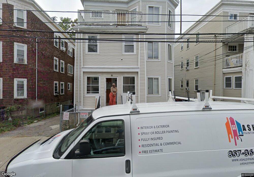
25 Stellman Rd Roslindale, MA 02131
Roslindale NeighborhoodEstimated Value: $1,016,000 - $1,318,000
9
Beds
3
Baths
3,090
Sq Ft
$377/Sq Ft
Est. Value
About This Home
This home is located at 25 Stellman Rd, Roslindale, MA 02131 and is currently estimated at $1,166,146, approximately $377 per square foot. 25 Stellman Rd is a home located in Suffolk County with nearby schools including Brooke Charter School Roslindale, The Croft School - Jamaica Plain, and Sacred Heart STEM School.
Ownership History
Date
Name
Owned For
Owner Type
Purchase Details
Closed on
Feb 3, 2024
Sold by
Scotland Marie C and Desruisseux Francoeur
Bought by
Scotland Marie C
Current Estimated Value
Home Financials for this Owner
Home Financials are based on the most recent Mortgage that was taken out on this home.
Original Mortgage
$702,075
Outstanding Balance
$687,183
Interest Rate
5.62%
Mortgage Type
FHA
Estimated Equity
$478,963
Purchase Details
Closed on
Dec 28, 1988
Sold by
Gerasmidis Fotini
Bought by
Scotland Marie C
Create a Home Valuation Report for This Property
The Home Valuation Report is an in-depth analysis detailing your home's value as well as a comparison with similar homes in the area
Home Values in the Area
Average Home Value in this Area
Purchase History
| Date | Buyer | Sale Price | Title Company |
|---|---|---|---|
| Scotland Marie C | -- | None Available | |
| Scotland Marie C | -- | None Available | |
| Scotland Marie C | $265,000 | -- |
Source: Public Records
Mortgage History
| Date | Status | Borrower | Loan Amount |
|---|---|---|---|
| Open | Scotland Marie C | $702,075 | |
| Closed | Scotland Marie C | $702,075 | |
| Previous Owner | Scotland Marie C | $350,000 | |
| Previous Owner | Scotland Marie C | $220,000 | |
| Previous Owner | Scotland Marie C | $216,000 |
Source: Public Records
Tax History Compared to Growth
Tax History
| Year | Tax Paid | Tax Assessment Tax Assessment Total Assessment is a certain percentage of the fair market value that is determined by local assessors to be the total taxable value of land and additions on the property. | Land | Improvement |
|---|---|---|---|---|
| 2025 | $11,681 | $1,008,700 | $238,000 | $770,700 |
| 2024 | $11,713 | $1,074,600 | $251,200 | $823,400 |
| 2023 | $10,992 | $1,023,500 | $239,200 | $784,300 |
| 2022 | $10,600 | $974,300 | $227,700 | $746,600 |
| 2021 | $10,094 | $946,000 | $221,100 | $724,900 |
| 2020 | $8,008 | $758,300 | $212,500 | $545,800 |
| 2019 | $7,265 | $689,300 | $166,100 | $523,200 |
| 2018 | $6,752 | $644,300 | $166,100 | $478,200 |
| 2017 | $6,496 | $613,400 | $166,100 | $447,300 |
| 2016 | $6,426 | $584,200 | $166,100 | $418,100 |
| 2015 | $5,896 | $486,900 | $126,300 | $360,600 |
| 2014 | $5,308 | $421,900 | $126,300 | $295,600 |
Source: Public Records
Map
Nearby Homes
- 187 Florence St Unit 2L
- 620 South St
- 108 Florence St Unit 3
- 108 Florence St Unit 1
- 108 Florence St Unit 4
- 4031 Washington St
- 4012 Washington St
- 173 Brookway Rd
- 19 Delford St
- 19 Delford St Unit 1
- 348-350 Hyde Park Ave Unit 2
- 67 Cummins Hwy Unit 101
- 18-20 Northbourne Rd Unit 18
- 36 Neponset Ave Unit 1
- 50 Southbourne Rd
- 27 Rowe St
- 32 Jewett St
- 15 S Fairview St Unit 3
- 158 Wachusett St Unit 3
- 31 Rodman St Unit 2
- 25 Stellman Rd Unit 2
- 27 Stellman Rd
- 27 Stellman Rd Unit 2
- 23 Stellman Rd
- 23 Stellman Rd Unit 2
- 29 Stellman Rd
- 29 Stellman Rd Unit 3
- 29 Stellman Rd Unit 1
- 29 Stellman Rd Unit 2
- 21 Stellman Rd
- 21 Stellman Rd Unit 3
- 21 Stellman Rd Unit 2
- 31 Stellman Rd
- 31 Stellman Rd Unit 2
- 19 Stellman Rd
- 19 Stellman Rd Unit 1
- 19 Stellman Rd Unit 2
- 19 Stellman Rd Unit 3
- 26 Stellman Rd
- 28 Stellman Rd Unit 3