Estimated Value: $800,000 - $1,092,000
5
Beds
3
Baths
2,743
Sq Ft
$358/Sq Ft
Est. Value
About This Home
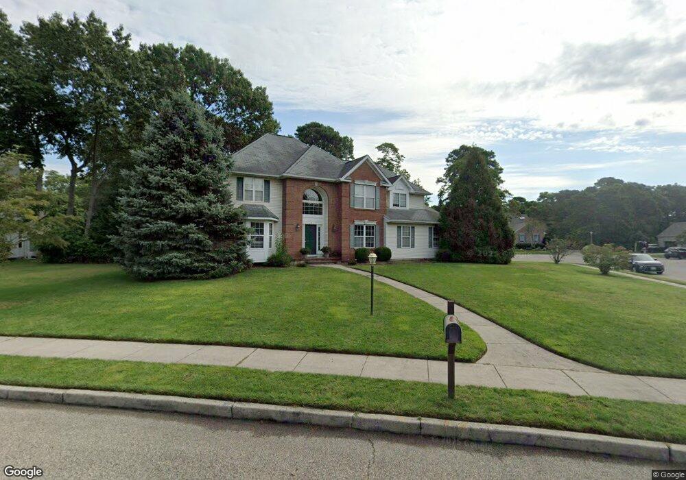
This home is located at 25 Stoneham Dr, Brick, NJ 08724 and is currently estimated at $983,008, approximately $358 per square foot. 25 Stoneham Dr is a home located in Ocean County with nearby schools including Midstreams Elementary School, Veterans Memorial Middle School, and Brick Township Memorial High School.
Ownership History
Date
Name
Owned For
Owner Type
Purchase Details
Closed on
Sep 14, 2004
Sold by
Ceresi Robert P and Ceresi Carole C
Bought by
Spaulding John J and Spaulding Suzanne
Current Estimated Value
Home Financials for this Owner
Home Financials are based on the most recent Mortgage that was taken out on this home.
Original Mortgage
$378,000
Outstanding Balance
$185,643
Interest Rate
5.75%
Mortgage Type
Fannie Mae Freddie Mac
Estimated Equity
$797,365
Purchase Details
Closed on
Jul 7, 1995
Sold by
Todino Joseph
Bought by
Ceresi Robert and Ceresi Carole
Home Financials for this Owner
Home Financials are based on the most recent Mortgage that was taken out on this home.
Original Mortgage
$80,000
Interest Rate
7.7%
Create a Home Valuation Report for This Property
The Home Valuation Report is an in-depth analysis detailing your home's value as well as a comparison with similar homes in the area
Home Values in the Area
Average Home Value in this Area
Purchase History
| Date | Buyer | Sale Price | Title Company |
|---|---|---|---|
| Spaulding John J | $540,000 | Premier Abstract & Title Age | |
| Ceresi Robert | $279,800 | -- |
Source: Public Records
Mortgage History
| Date | Status | Borrower | Loan Amount |
|---|---|---|---|
| Open | Spaulding John J | $378,000 | |
| Previous Owner | Ceresi Robert | $80,000 |
Source: Public Records
Tax History
| Year | Tax Paid | Tax Assessment Tax Assessment Total Assessment is a certain percentage of the fair market value that is determined by local assessors to be the total taxable value of land and additions on the property. | Land | Improvement |
|---|---|---|---|---|
| 2025 | $14,467 | $527,600 | $177,200 | $350,400 |
| 2024 | $13,069 | $527,600 | $177,200 | $350,400 |
| 2023 | $12,879 | $527,600 | $177,200 | $350,400 |
| 2022 | $12,879 | $527,600 | $177,200 | $350,400 |
| 2021 | $12,610 | $527,600 | $177,200 | $350,400 |
| 2020 | $12,446 | $527,600 | $177,200 | $350,400 |
| 2019 | $12,224 | $527,600 | $177,200 | $350,400 |
| 2018 | $11,945 | $527,600 | $177,200 | $350,400 |
| 2017 | $11,623 | $527,600 | $177,200 | $350,400 |
| 2016 | $11,560 | $527,600 | $177,200 | $350,400 |
| 2015 | $11,259 | $527,600 | $177,200 | $350,400 |
| 2014 | $11,164 | $527,600 | $177,200 | $350,400 |
Source: Public Records
Map
Nearby Homes
- 24 Davos Rd
- 140 Meridian Dr
- 311 Shawnee Dr
- 1 Woodchuck Ln
- 313 Shawnee Dr
- 49 N Cherokee Ln
- 315 Shawnee Dr
- 36 Lenape Trail
- 21 Wayside Dr
- 354 Rancocas Dr
- 13 Golden Rod Ct
- 90 Canis Dr
- 74 Fairview Ave
- 23 Island Dr
- 118 Solar Dr
- 0 Island Ct
- 353 Arrowhead Dr
- 58 Island Dr
- 32 Sleepy Hollow Dr
- 416 Midstreams Rd
Your Personal Tour Guide
Ask me questions while you tour the home.