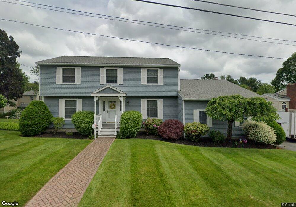
25 Stonewood Ln Lynn, MA 01904
Lynn Woods NeighborhoodEstimated Value: $864,000 - $922,000
4
Beds
4
Baths
2,377
Sq Ft
$378/Sq Ft
Est. Value
About This Home
This home is located at 25 Stonewood Ln, Lynn, MA 01904 and is currently estimated at $897,908, approximately $377 per square foot. 25 Stonewood Ln is a home located in Essex County with nearby schools including Highland Elementary School, Capt. William G. Shoemaker Elementary School, and William R. Fallon School.
Ownership History
Date
Name
Owned For
Owner Type
Purchase Details
Closed on
May 17, 2024
Sold by
Cole Frank D and Cole Geralyn M
Bought by
25 Stonewood Ln Lynn T and 25 Cole
Current Estimated Value
Purchase Details
Closed on
Aug 21, 1997
Sold by
Gallo Nancy J
Bought by
Cole Frank D and Cole Geralyn M
Create a Home Valuation Report for This Property
The Home Valuation Report is an in-depth analysis detailing your home's value as well as a comparison with similar homes in the area
Home Values in the Area
Average Home Value in this Area
Purchase History
| Date | Buyer | Sale Price | Title Company |
|---|---|---|---|
| 25 Stonewood Ln Lynn T | -- | None Available | |
| 25 Stonewood Ln Lynn T | -- | None Available | |
| 25 Stonewood Ln Lynn T | -- | None Available | |
| 25 Stonewood Ln Lynn T | -- | None Available | |
| Cole Frank D | $230,000 | -- | |
| Cole Frank D | $230,000 | -- |
Source: Public Records
Mortgage History
| Date | Status | Borrower | Loan Amount |
|---|---|---|---|
| Previous Owner | Cole Frank D | $50,000 | |
| Previous Owner | Cole Frank D | $150,000 | |
| Previous Owner | Cole Frank D | $142,000 |
Source: Public Records
Tax History Compared to Growth
Tax History
| Year | Tax Paid | Tax Assessment Tax Assessment Total Assessment is a certain percentage of the fair market value that is determined by local assessors to be the total taxable value of land and additions on the property. | Land | Improvement |
|---|---|---|---|---|
| 2025 | $9,153 | $883,500 | $229,600 | $653,900 |
| 2024 | $8,848 | $840,300 | $220,100 | $620,200 |
| 2023 | $8,831 | $792,000 | $245,100 | $546,900 |
| 2022 | $8,467 | $681,200 | $177,600 | $503,600 |
| 2021 | $8,003 | $614,200 | $171,100 | $443,100 |
| 2020 | $7,856 | $586,300 | $161,600 | $424,700 |
| 2019 | $7,605 | $531,800 | $136,100 | $395,700 |
| 2018 | $7,728 | $510,100 | $163,600 | $346,500 |
| 2017 | $7,477 | $479,300 | $152,600 | $326,700 |
| 2016 | $7,281 | $450,000 | $142,100 | $307,900 |
| 2015 | $7,050 | $420,900 | $140,600 | $280,300 |
Source: Public Records
Map
Nearby Homes
- 714 Lynnfield St
- 10 Standish Way
- 50 Cumberland Cir
- 63 Crooker Dr
- 33 Ritchie Rd
- 28 Elmwood Cir
- 115 Quinn Rd
- 3 Ralph Rd
- 16 Sarah's Way
- 325 Den Quarry Rd
- 45 Anchor Rd
- 12 Mansfield St
- 217 Cedar Brook Rd
- 1100 Salem St Unit 58
- 1100 Salem St Unit 75
- 2 Anchor Rd
- 1200 Salem St Unit 127
- 1200 Salem St Unit 182
- 37 Locust St
- 131 Den Quarry Rd