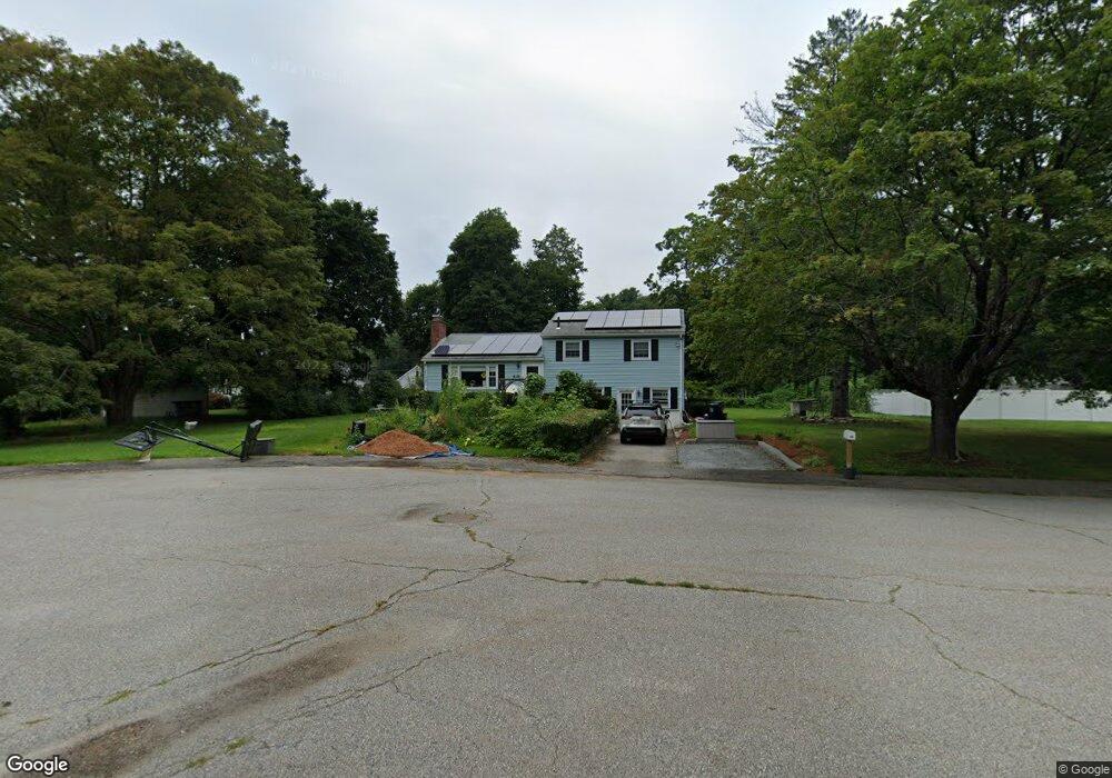
25 Sunset Cir Marlborough, MA 01752
Estimated Value: $570,422 - $653,000
3
Beds
2
Baths
1,725
Sq Ft
$355/Sq Ft
Est. Value
About This Home
This home is located at 25 Sunset Cir, Marlborough, MA 01752 and is currently estimated at $612,856, approximately $355 per square foot. 25 Sunset Cir is a home located in Middlesex County with nearby schools including Marlborough High School, New Covenant Christian School, and Glenhaven Academy - JRI School.
Ownership History
Date
Name
Owned For
Owner Type
Purchase Details
Closed on
Jun 14, 2007
Sold by
Chase Grace S and Chase Peter R
Bought by
Olsen Eric C and Olsen Sarah F
Current Estimated Value
Home Financials for this Owner
Home Financials are based on the most recent Mortgage that was taken out on this home.
Original Mortgage
$309,000
Outstanding Balance
$189,075
Interest Rate
6.19%
Mortgage Type
Purchase Money Mortgage
Estimated Equity
$423,781
Create a Home Valuation Report for This Property
The Home Valuation Report is an in-depth analysis detailing your home's value as well as a comparison with similar homes in the area
Home Values in the Area
Average Home Value in this Area
Purchase History
| Date | Buyer | Sale Price | Title Company |
|---|---|---|---|
| Olsen Eric C | $349,000 | -- |
Source: Public Records
Mortgage History
| Date | Status | Borrower | Loan Amount |
|---|---|---|---|
| Open | Olsen Eric C | $309,000 |
Source: Public Records
Tax History
| Year | Tax Paid | Tax Assessment Tax Assessment Total Assessment is a certain percentage of the fair market value that is determined by local assessors to be the total taxable value of land and additions on the property. | Land | Improvement |
|---|---|---|---|---|
| 2025 | $5,108 | $518,100 | $240,900 | $277,200 |
| 2024 | $4,915 | $480,000 | $219,100 | $260,900 |
| 2023 | $5,128 | $444,400 | $180,000 | $264,400 |
| 2022 | $5,051 | $385,000 | $171,400 | $213,600 |
| 2021 | $5,040 | $365,200 | $142,900 | $222,300 |
| 2020 | $4,905 | $345,900 | $136,100 | $209,800 |
| 2019 | $4,764 | $338,600 | $133,400 | $205,200 |
| 2018 | $4,853 | $331,700 | $116,000 | $215,700 |
| 2017 | $4,201 | $274,200 | $114,200 | $160,000 |
| 2016 | $3,990 | $260,100 | $114,200 | $145,900 |
| 2015 | $4,080 | $258,900 | $122,500 | $136,400 |
Source: Public Records
Map
Nearby Homes
- 244 Robert Rd
- 84 Crosby Rd
- 40 Sheridan Rd
- 38 Airport Blvd
- 69 Johansen Dr
- 97 Paquin Dr
- 181 Boston Post Rd E Unit 26
- 181 Boston Post Rd E Unit 64
- 48 Cook Ln
- 24 Wilson St Unit 4
- 70 Victoria Ln
- 168 Blanchette Dr
- 616 Boston Post Rd E Unit 9
- 688 Boston Post Rd E Unit 304
- 688 Boston Post Rd E Unit 103
- 68 Upland Rd
- 0 Stevens St
- 79 Royce Rd
- 70 Phelps St
- 20 Beauregard Cir
Your Personal Tour Guide
Ask me questions while you tour the home.