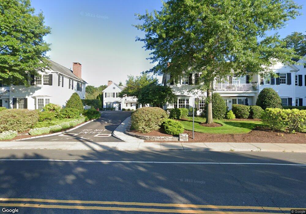
25 Sylvan Rd S Westport, CT 06880
Saugatuck Neighborhood
--
Bed
--
Bath
38,061
Sq Ft
2.7
Acres
About This Home
This home is located at 25 Sylvan Rd S, Westport, CT 06880. 25 Sylvan Rd S is a home located in Fairfield County with nearby schools including King's Highway Elementary School, Coleytown Middle School, and Staples High School.
Ownership History
Date
Name
Owned For
Owner Type
Purchase Details
Closed on
Jan 9, 2015
Sold by
Trust Realty Corp
Bought by
25 Sylvan Road South L
Create a Home Valuation Report for This Property
The Home Valuation Report is an in-depth analysis detailing your home's value as well as a comparison with similar homes in the area
Home Values in the Area
Average Home Value in this Area
Purchase History
| Date | Buyer | Sale Price | Title Company |
|---|---|---|---|
| 25 Sylvan Road South L | -- | -- | |
| 25 Sylvan Road South L | -- | -- |
Source: Public Records
Tax History Compared to Growth
Tax History
| Year | Tax Paid | Tax Assessment Tax Assessment Total Assessment is a certain percentage of the fair market value that is determined by local assessors to be the total taxable value of land and additions on the property. | Land | Improvement |
|---|---|---|---|---|
| 2025 | $79,123 | $4,195,300 | $1,843,900 | $2,351,400 |
| 2024 | $78,116 | $4,195,300 | $1,843,900 | $2,351,400 |
| 2023 | $76,984 | $4,195,300 | $1,843,900 | $2,351,400 |
| 2022 | $75,809 | $4,195,300 | $1,843,900 | $2,351,400 |
| 2021 | $6,080 | $4,195,300 | $1,843,900 | $2,351,400 |
| 2020 | $7,222 | $4,500,400 | $2,048,800 | $2,451,600 |
| 2019 | $7,098 | $4,500,400 | $2,048,800 | $2,451,600 |
| 2018 | $13,309 | $4,500,400 | $2,048,800 | $2,451,600 |
| 2017 | $12,406 | $4,500,400 | $2,048,800 | $2,451,600 |
| 2016 | $75,877 | $4,500,400 | $2,048,800 | $2,451,600 |
| 2015 | $81,159 | $4,486,400 | $2,276,400 | $2,210,000 |
| 2014 | $80,486 | $4,486,400 | $2,276,400 | $2,210,000 |
Source: Public Records
Map
Nearby Homes
- 21 Wright St
- 3 Laurel Ln
- 5 Franklin Ave
- 102 Compo Rd S
- 42 Kings Hwy S
- 60 Wilton Rd Unit 2C
- 11 Old Hill Rd
- 23 Bridge St
- 33 Pequot Trail
- 6 Over Rock Ln
- 26 Treadwell Ave
- 13 Hills Ln
- 171 & 169 Compo Rd S
- 20 Old Hill Rd
- 113 Kings Hwy N
- 5A Sunrise Rd
- 202 Bradley Ln Unit 202
- 7 Renzulli Rd
- 15 Renzulli Rd
- 14 Strathmore Ln
- 5 Saviano Ln
- 1 Saviano Ln
- 3 Saviano Ln
- 220 Riverside Ave Unit 15
- 220 Riverside Ave Unit 14
- 220 Riverside Ave Unit 13
- 220 Riverside Ave Unit 12
- 220 Riverside Ave Unit 11
- 220 Riverside Ave Unit 10
- 220 Riverside Ave Unit 9
- 220 Riverside Ave Unit 8
- 220 Riverside Ave Unit 7
- 220 Riverside Ave Unit 6
- 220 Riverside Ave Unit 5
- 220 Riverside Ave Unit 4
- 220 Riverside Ave Unit 3
- 220 Riverside Ave Unit 2
- 220 Riverside Ave Unit 3A
- 220 Riverside Ave Unit B7
- 220 Riverside Ave Unit B4