Estimated Value: $202,000 - $236,000
Studio
2
Baths
1,494
Sq Ft
$146/Sq Ft
Est. Value
About This Home
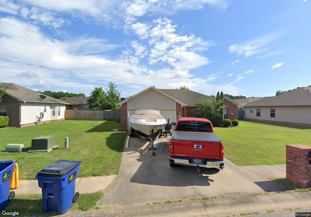
This home is located at 25 Thunderbird Dr, Cabot, AR 72023 and is currently estimated at $217,741, approximately $145 per square foot. 25 Thunderbird Dr is a home located in Lonoke County with nearby schools including Southside Elementary School, Cabot Junior High South, and Cabot Middle School South.
Ownership History
Date
Name
Owned For
Owner Type
Purchase Details
Closed on
Jun 30, 2008
Sold by
Girner John S
Bought by
Arhs Llc
Current Estimated Value
Home Financials for this Owner
Home Financials are based on the most recent Mortgage that was taken out on this home.
Original Mortgage
$92,641
Outstanding Balance
$59,447
Interest Rate
6.05%
Mortgage Type
Future Advance Clause Open End Mortgage
Estimated Equity
$158,294
Purchase Details
Closed on
Jun 18, 2008
Sold by
Girner John S
Bought by
Arhs Llc
Home Financials for this Owner
Home Financials are based on the most recent Mortgage that was taken out on this home.
Original Mortgage
$92,641
Outstanding Balance
$59,447
Interest Rate
6.05%
Mortgage Type
Future Advance Clause Open End Mortgage
Estimated Equity
$158,294
Purchase Details
Closed on
Aug 11, 2004
Bought by
Girner
Purchase Details
Closed on
Jun 24, 2004
Bought by
Plat Pci-731
Create a Home Valuation Report for This Property
The Home Valuation Report is an in-depth analysis detailing your home's value as well as a comparison with similar homes in the area
Purchase History
| Date | Buyer | Sale Price | Title Company |
|---|---|---|---|
| Arhs Llc | -- | -- | |
| Arhs Llc | -- | -- | |
| Girner | $20,000 | -- | |
| Plat Pci-731 | -- | -- |
Source: Public Records
Mortgage History
| Date | Status | Borrower | Loan Amount |
|---|---|---|---|
| Open | Arhs Llc | $92,641 | |
| Closed | Arhs Llc | $92,641 |
Source: Public Records
Tax History
| Year | Tax Paid | Tax Assessment Tax Assessment Total Assessment is a certain percentage of the fair market value that is determined by local assessors to be the total taxable value of land and additions on the property. | Land | Improvement |
|---|---|---|---|---|
| 2025 | $1,297 | $25,490 | $4,000 | $21,490 |
| 2024 | $1,297 | $25,490 | $4,000 | $21,490 |
| 2023 | $1,297 | $25,490 | $4,000 | $21,490 |
| 2022 | $1,297 | $25,490 | $4,000 | $21,490 |
| 2021 | $1,297 | $25,490 | $4,000 | $21,490 |
| 2020 | $1,291 | $25,370 | $4,000 | $21,370 |
| 2019 | $1,291 | $25,370 | $4,000 | $21,370 |
| 2018 | $1,253 | $25,370 | $4,000 | $21,370 |
| 2017 | $1,164 | $25,370 | $4,000 | $21,370 |
| 2016 | $1,253 | $25,370 | $4,000 | $21,370 |
| 2015 | $1,263 | $25,570 | $4,000 | $21,570 |
| 2014 | $1,263 | $25,570 | $4,000 | $21,570 |
Source: Public Records
Map
Nearby Homes
- 15 Castle Heights Dr
- 00 Arkansas 321
- 9 Kings Rd
- 21 Buttercup Cove
- 12 Michael Dr
- 22 Oakwood Dr
- 29 Mcclellan Dr
- 1 Bill Foster Memorial Hwy E
- 10 Bill Foster Memorial Hwy E
- 2702 Bill Foster Memorial Hwy E Unit Hwy 321
- 22 Wolfsbridge Loop
- 18 Wolfsbridge Loop
- 63 Wolfsbridge Loop
- 57 Wolfsbridge Loop
- 55 Wolfsbridge Loop
- 52 Wolfsbridge Loop
- 59 Wolfsbridge Loop
- 507 Southhaven Ave
- 30 Ravell
- 1309 S Pine St
- 27 Thunderbird Dr
- 23 Thunderbird Dr
- 24 Corvette Dr
- 22 Corvette Dr
- 26 Corvette Dr
- 29 Thunderbird Dr
- 0 Thunderbird Unit 16000773
- 0 Thunderbird Unit 16005696
- 0 Thunderbird Unit 16021909
- 0 Thunderbird Unit 17002531
- 0 Thunderbird Unit 17012482
- 0 Thunderbird Unit 17020576
- 0 Thunderbird Unit 17022145
- 0 Thunderbird Unit 17029552
- 0 Thunderbird Unit 18003373
- 21 Thunderbird Dr
- 24 Thunderbird Dr
- 26 Thunderbird Dr
- 28 Corvette Dr
- 22 Thunderbird Dr
Your Personal Tour Guide
Ask me questions while you tour the home.